Cabo Carvoeiro
Layered limestone cliffs and sea stacks at the tip of the Peniche peninsula, with the Berlengas visible offshore.
Updated 21 October 2026
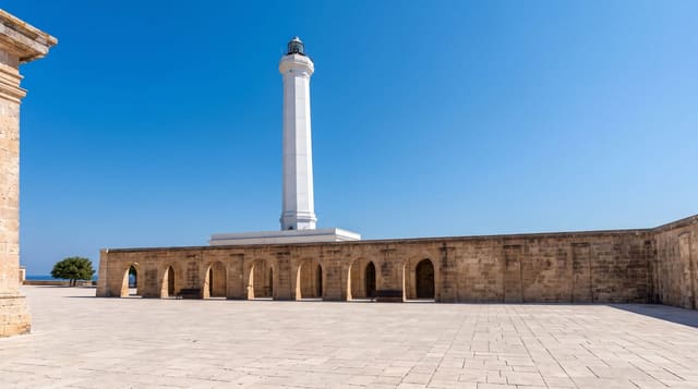
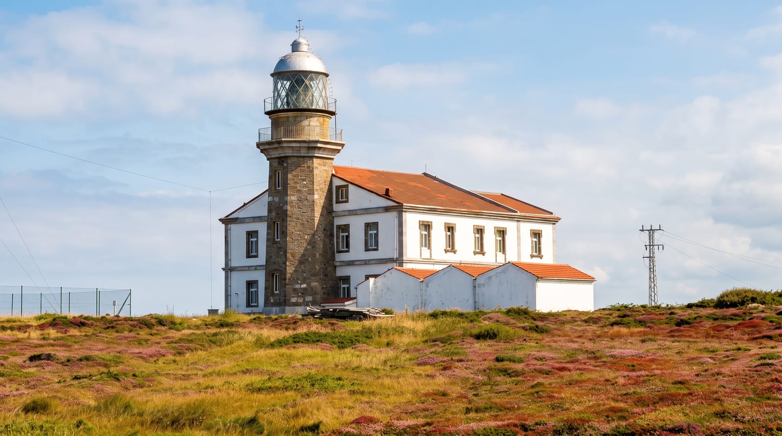
Cabo Carvoeiro is the western point of the Peniche peninsula, and the interest is geological: the cliffs are Jurassic limestone and marl in strongly marked horizontal bands, tilted and folded, so the whole headland reads as a diagram of layered rock, and the sea has cut it into caves, arches and free-standing stacks. The best known is the Nau dos Corvos, a large stack just offshore that from certain angles looks like a ship. There is a lighthouse of about twenty-five metres, a small chapel, the Furninha cave where finds point to occupation since the Neolithic, and viewpoints along the cliff road running back towards Papôa on the northern side. On a clear day the Berlengas islands are visible ten kilometres out. Peniche itself is a working fishing port and one of the main surfing towns in Europe, with Supertubos beach south of it. The cliff edges are undercut and unprotected in places.
The landscape
- The layered cliffs - Jurassic limestone and marl in strongly banded strata.
- Nau dos Corvos - the large stack offshore that resembles a ship.
- The lighthouse - the marker at the peninsula's western tip.
- The Berlengas - the island group visible ten kilometres out on clear days.
When to go
Year-round; winter storms make the sea spectacular here. One to two hours. Sunset is the standard time and the busiest.
What to expect
Constant strong wind. Cliff edges are undercut and unfenced in places. Parking is limited at the point. The surrounding area is industrial in parts, being a working fishing port.
Nearby
Peniche and Supertubos are east; the Berlengas boats leave from the harbour.
Key facts
Source: Wikidata, item Q1024882, read on 18 October 2026.
What to pack for Cabo Carvoeiro
Chosen from what this place is for. Tap a kit for the full checklist.
- Broken-in walking shoes or boots - Grip and ankle support matter more than looks; never hike in brand-new boots. Find on Amazon
- Travel rod + reel - A packable multi-piece rod fits in a case and covers most holiday fishing. Find on Amazon
- Quick-dry clothing - Board shorts or synthetics that shrug off spray and dry fast. Find on Amazon
- Head torch + spare batteries - Hands-free light is essential; caves are truly dark. Find on Amazon
Some links on this page are Amazon affiliate links - if you buy through them we may earn a small commission at no extra cost to you.
All packing kitsPlan your trip
Where to start if Cabo Carvoeiro is going on the list.
Booking links on this page are affiliate links - if you book through them we may earn a small commission at no extra cost to you. It never changes what we write about a place.
Opening times, ticket prices and seasonal closures change - check the official source before you go: official site.