Mararison Island
A hilly islet off Culasi with a sandspit, grass ridges to walk and a fishing village that hosts most of its visitors.
Updated 21 October 2026
AI illustration
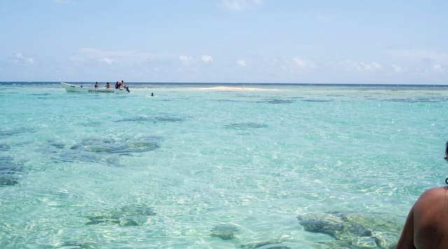
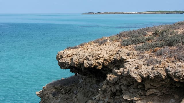
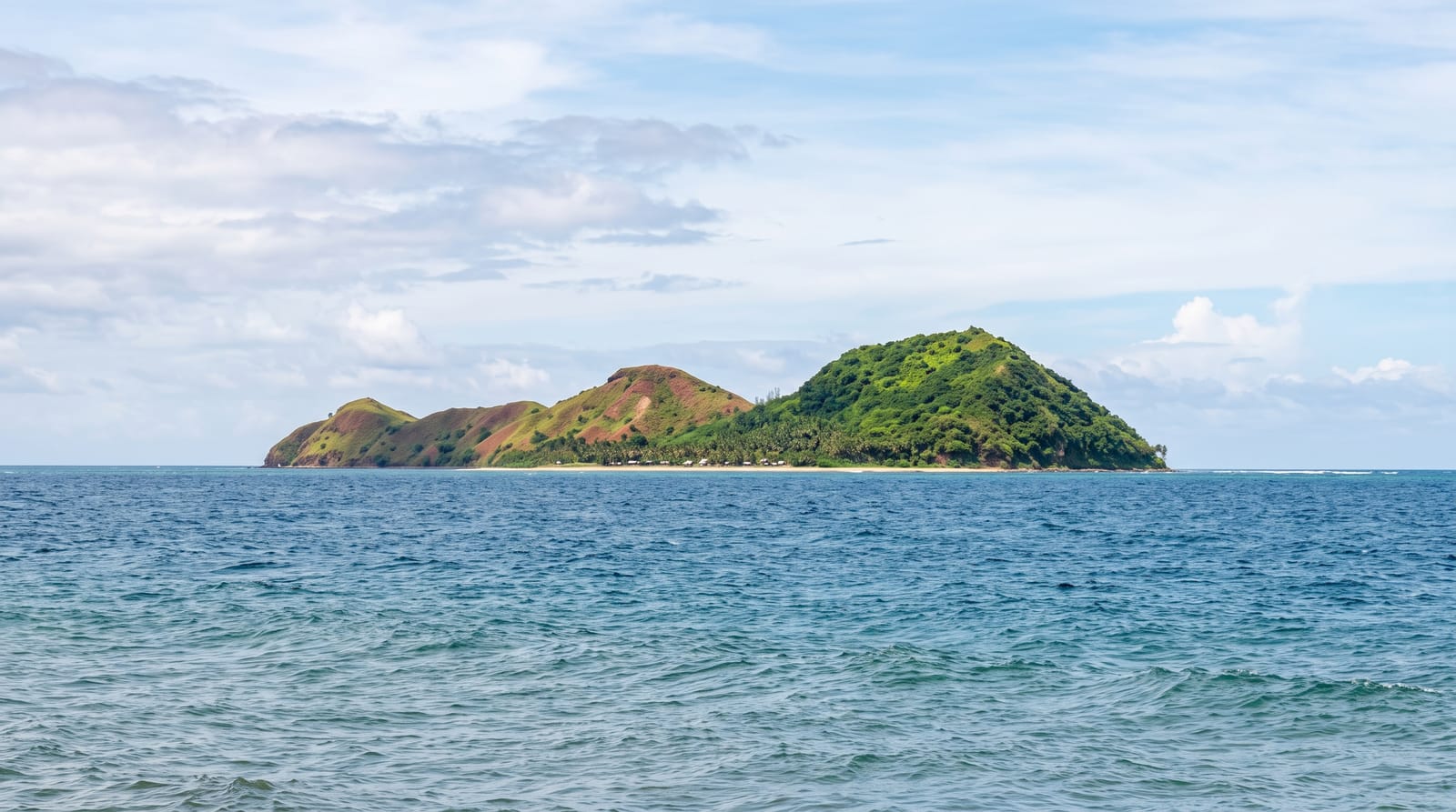
Mararison - Malalison to many locals - lies a short crossing off Culasi in Antique, and it is more interesting to look at than most small islands because it is not flat. A spine of grass-covered hills, rising to 83 metres at Tuyong-tuyong Hill, runs down the length of the island, some 55 hectares in all, walkable in an hour or two on paths that climb from the village to viewpoints over the sea and back down to a curving sandspit at the northern end where boats land. Below the hills are rock formations, small coves and reefs with more than a hundred species of hard coral. The islanders run homestays and cook for visitors, and camping on the sandspit is permitted; there is no resort. On clear days Mount Madia-as, Antique's highest peak, stands behind the mainland across the channel. It works as a day trip from Culasi, but the hills at sunrise are the argument for staying the night.
What you'll find
- The grass ridges - hill paths above the village.
- The sandspit - the curving bar where boats land.
- The rock formations - the coves along the shore.
- The Madia-as view - the mainland peak across the channel.
When to go
December to May for calm crossings. Early morning and late afternoon for walking the ridges - there is no shade at all up there.
Good to know
Accommodation is homestays and camping, not resorts; power and water are limited. The hills are fully exposed to sun and wind. Crossings stop when the channel is rough.
Nearby
Seco Island lies far offshore from the same coast; Tibiao's kawa baths and falls are south.
Key facts
Source: Wikidata, item Q1798301, read on 18 October 2026.
What to pack for Mararison Island
Chosen from what this place is for. Tap a kit for the full checklist.
- Travel rod + reel - A packable multi-piece rod fits in a case and covers most holiday fishing. Find on Amazon
- Reef-safe sunscreen - High SPF that will not bleach the coral you are swimming over. Find on Amazon
- Shelter suited to the place - Tent, tarp or hut booking - match it to the terrain and rules. Find on Amazon
- A small tackle selection - Hooks, weights, line and a few lures or flies suited to local waters. Find on Amazon
Some links on this page are Amazon affiliate links - if you buy through them we may earn a small commission at no extra cost to you.
All packing kitsPlan your trip
Where to start if Mararison Island is going on the list.
Booking links on this page are affiliate links - if you book through them we may earn a small commission at no extra cost to you. It never changes what we write about a place.
Opening times, ticket prices and seasonal closures change - check the official source before you go: official site.