Marabut Rock Islands
Karst islets standing in shallow water off Samar's southern shore, paddled between by kayak from a handful of small beaches.
Updated 14 October 2026
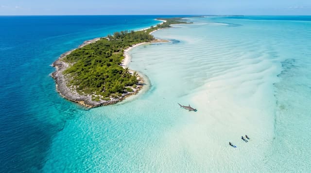
AI illustration
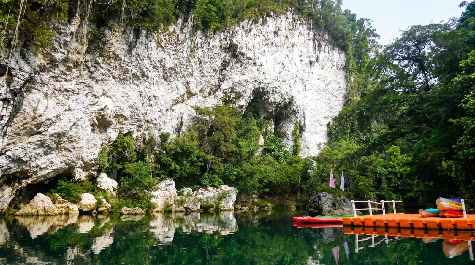
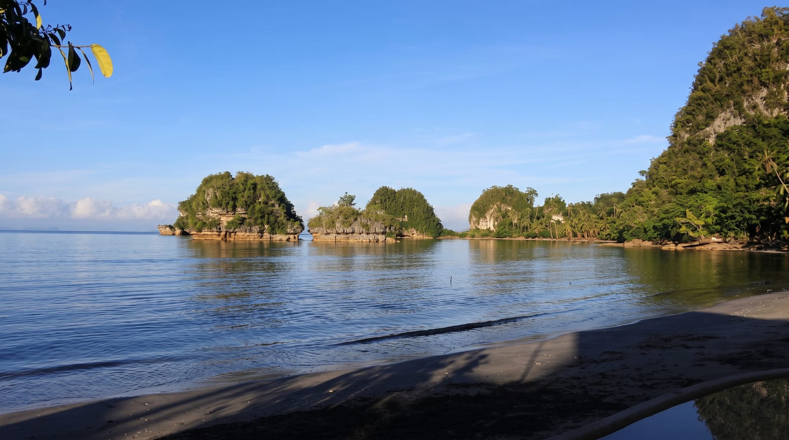
Marabut sits on the southern coast of Samar where a scatter of limestone islets rises out of shallow green water just offshore - small, steep-sided rocks topped with vegetation, close enough together that the standard way to see them is by kayak from the beach rather than by motorboat. Between them are coves, small strips of sand, overhangs and swim-throughs, and the water is calm enough on most dry-season days to paddle for a couple of hours without difficulty. A few modest resorts sit along the mainland shore with the islets in view. The area was hit hard by Typhoon Yolanda in 2013, and rebuilding along this coast took years; what stands today is largely post-storm. The coastal road from Tacloban through Basey is itself scenic, which makes the trip an easy half-day out of the city.
What's there
- The limestone islets - steep rocks standing in shallow water.
- The kayak channels - paddling routes between them.
- The small coves - sand strips and overhangs on the rocks.
- The mainland beaches - the resort shore looking out.
When to go
December to May for calm water and easy paddling. Mornings are stillest; afternoon wind picks up across the channel.
What to expect
The beaches are small and the resorts simple. Kayaks and boats are hired locally with limited stock. This coast is exposed to typhoons and facilities can change between seasons.
Nearby
Sohoton Caves at Basey is on the same road; Tacloban and San Juanico Bridge are north.
What to pack for Marabut Rock Islands
Chosen from what this place is for. Tap a kit for the full checklist.
- Reef-safe sunscreen - High SPF that will not bleach the coral you are swimming over. Find on Amazon
- Quick-dry clothing - Board shorts or synthetics that shrug off spray and dry fast. Find on Amazon
- Head torch + spare batteries - Hands-free light is essential; caves are truly dark. Find on Amazon
- Quick-dry towel - A microfibre towel packs small and dries in minutes. Find on Amazon
Some links on this page are Amazon affiliate links - if you buy through them we may earn a small commission at no extra cost to you.
All packing kitsPlan your trip
Where to start if Marabut Rock Islands is going on the list.
Booking links on this page are affiliate links - if you book through them we may earn a small commission at no extra cost to you. It never changes what we write about a place.
Opening times, ticket prices and seasonal closures change - check the official source before you go: official site.