Punta Sal
The warmest and calmest water in Peru, on the Tumbes coast near the Ecuadorian border, with a strip of resorts along it.
Updated 12 October 2026
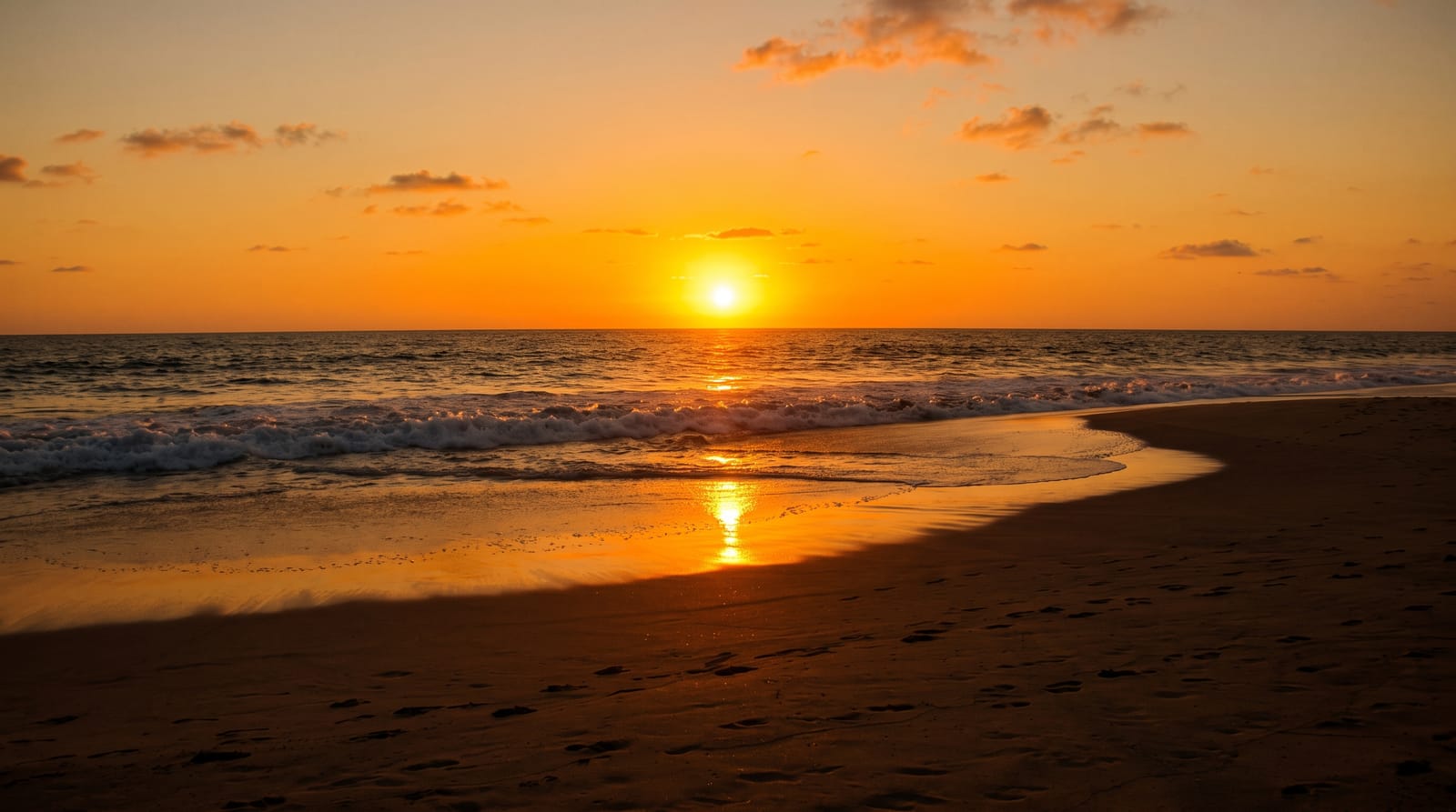
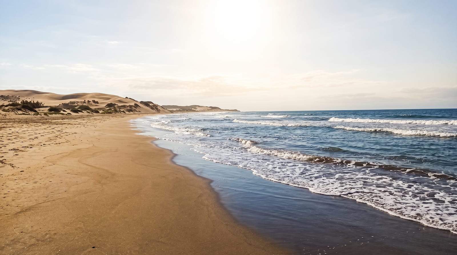
Punta Sal is at the far northern end of the Peruvian coast where the cold Humboldt current gives way to warm equatorial water, and that single fact defines it: the sea here is around twenty-four to twenty-seven degrees, calm and swimmable, which is true almost nowhere else in Peru, where the coast is cold and grey. The result is a several-kilometre bay of pale sand backed by resorts and holiday houses, and a domestic tourism industry built on being the place Peruvians go to swim. Humpback whales pass offshore between roughly July and October on their migration, and boat trips run to see them from Punta Sal and Máncora. Fishing boats work the same water. The coast has developed fast and unevenly, with construction close to the shore and some erosion. Máncora, half an hour south, is the busier and louder version of the same coastline.
Highlights
- The warm water - twenty-four to twenty-seven degrees, unlike the rest of Peru's coast.
- The calm bay - several kilometres of pale sand with little surf.
- The humpbacks - passing offshore roughly July to October.
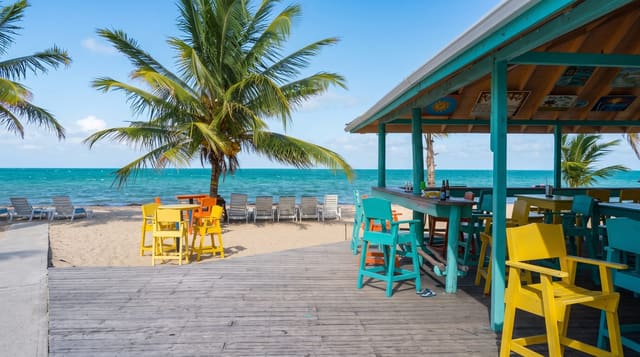
- The resort strip - domestic tourism built along the shore.
When to go
December to April for the warmest weather and water; July to October for whales. It is warm year-round, unlike the rest of the country.
What to expect
Development along the shore is dense and uneven with some erosion. Resort prices are high by Peruvian standards. Whale trips are seasonal and operators vary in how closely they approach. Máncora nearby is much louder.
Nearby
Máncora is south; Tumbes and the mangroves are north toward the Ecuadorian border.
What to pack for Punta Sal
Chosen from what this place is for. Tap a kit for the full checklist.
- Travel rod + reel - A packable multi-piece rod fits in a case and covers most holiday fishing. Find on Amazon
- Reef-safe sunscreen - High SPF that will not bleach the coral you are swimming over. Find on Amazon
- Quick-dry clothing - Board shorts or synthetics that shrug off spray and dry fast. Find on Amazon
- Binoculars - The single best wildlife tool - even a compact pair transforms a sighting. Find on Amazon
Some links on this page are Amazon affiliate links - if you buy through them we may earn a small commission at no extra cost to you.
All packing kitsPlan your trip
Where to start if Punta Sal is going on the list.
Booking links on this page are affiliate links - if you book through them we may earn a small commission at no extra cost to you. It never changes what we write about a place.
Opening times, ticket prices and seasonal closures change - check the official source before you go: official site.