Louisiade Archipelago
A remote chain of islands and reefs southeast of the mainland, sailed by yachts and worked by outrigger canoes.
Updated 21 October 2026
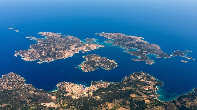
The Louisiades lie about two hundred kilometres southeast of New Guinea and stretch for more than 160 kilometres, a chain of high volcanic islands, low coral islands and an enormous barrier reef enclosing lagoon, with Misima, Sudest and Rossel the largest and hundreds of smaller ones between. It is one of the least visited parts of the Pacific: there are no scheduled services, no hotels and no tourism infrastructure, and almost everyone who reaches it arrives by yacht on the passage between Australia and the Solomons or by workboat from Alotau. Villages sail large outrigger canoes between the islands, gold was mined on Misima until 2004, and the kula exchange links some of the communities. Reefs are essentially unsurveyed.
History
The islands were reached in 1606 by the Spanish expedition of Luis Váez de Torres, part of the fleet of Fernández de Quirós, which named Basilaki Island San Buenaventura that July. In 1768 Louis Antoine de Bougainville visited and named the archipelago after Louis XV of France (Wikipedia, Louisiade Archipelago).
What's there
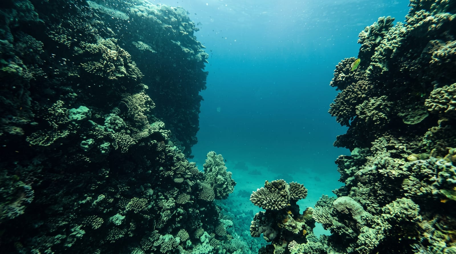
- The barrier reef - the enormous lagoon system enclosing the chain.
- Sailing canoes - the outriggers working between the islands.
- Village communities - the settlements on the larger islands.
- Unsurveyed reefs - the coral and passages rarely dived.
When to go
May to October in the southeast trades, which is the sailing season and when the weather is most settled. The northwest season from December to March brings unsettled conditions and is avoided by cruisers.
Practical notes
There are no scheduled services, hotels or facilities of any kind, and reaching the group means a yacht or a workboat passage. Charts are incomplete and reefs poorly surveyed. Supplies must be carried and village trade is the local economy. Communications are minimal.
Nearby
Samarai and Alotau lie northwest; the Coral Sea is south.
Key facts
Source: Wikidata, item Q1127200, read on 18 October 2026.
What to pack for Louisiade Archipelago
Chosen from what this place is for. Tap a kit for the full checklist.
- Broken-in walking shoes or boots - Grip and ankle support matter more than looks; never hike in brand-new boots. Find on Amazon
- Reef-safe sunscreen - High SPF that will not bleach the coral you are swimming over. Find on Amazon
- Quick-dry clothing - Board shorts or synthetics that shrug off spray and dry fast. Find on Amazon
- Shelter suited to the place - Tent, tarp or hut booking - match it to the terrain and rules. Find on Amazon
Some links on this page are Amazon affiliate links - if you buy through them we may earn a small commission at no extra cost to you.
All packing kitsPlan your trip
Where to start if Louisiade Archipelago is going on the list.
Booking links on this page are affiliate links - if you book through them we may earn a small commission at no extra cost to you. It never changes what we write about a place.
Opening times, ticket prices and seasonal closures change - check the official source before you go: official site.