The Wahiba Sands
A sand sea in eastern Oman of long parallel dune ridges, with Bedouin camps and desert lodges among them.
Updated 1 September 2026
AI illustration
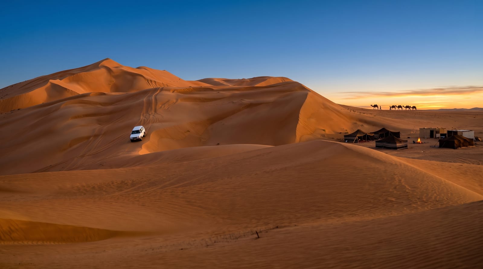
The Wahiba, officially the Sharqiya Sands, covers roughly 12,500 square kilometres of eastern Oman, and its structure is distinctive: long parallel dune ridges running roughly north to south for tens of kilometres, up to a hundred metres high, separated by gravel corridors, the whole shaped by two opposing wind systems. A Royal Geographical Society expedition surveyed it in 1986 and recorded a species list far higher than the landscape suggests. Bedouin families of the Wahiba and other groups graze camels and goats here and several run camps. Access is from Bidiyah, where tyres are let down for the sand, and lodges range from basic to expensive.
The landscape
- Parallel dune ridges - the long north-south ranges up to a hundred metres.
- Gravel corridors - the flat ground between the sand ridges.
- Bedouin camps - the herding families and their camels.
- Desert lodges - the camps set among the dunes for visitors.
When to go
October to April; summer temperatures are extreme. Nights are cold in December and January. Camps fill during Omani and Gulf holidays and need booking.
Good to know
Driving in requires four-wheel drive, deflated tyres and some experience; vehicles get stuck routinely and recovery is expensive. Camps vary enormously in standard and price. Sand and dust get into everything. Dune bashing damages the surface and disturbs residents.
Nearby
Bidiyah is the entry town; Wadi Bani Khalid lies northeast.
Key facts
Source: Wikidata, item Q1810329, read on 18 October 2026.
What to pack for The Wahiba Sands
Chosen from what this place is for. Tap a kit for the full checklist.
- Broken-in walking shoes or boots - Grip and ankle support matter more than looks; never hike in brand-new boots. Find on Amazon
- Loose, light, long clothing - Covering up beats bare skin in the desert - and locals dress this way for a reason. Find on Amazon
- Shelter suited to the place - Tent, tarp or hut booking - match it to the terrain and rules. Find on Amazon
- Layers + a waterproof shell - Mountain weather turns fast; a packable rain jacket saves the day. Find on Amazon
Some links on this page are Amazon affiliate links - if you buy through them we may earn a small commission at no extra cost to you.
All packing kitsPlan your trip
Where to start if The Wahiba Sands is going on the list.
Booking links on this page are affiliate links - if you book through them we may earn a small commission at no extra cost to you. It never changes what we write about a place.
Opening times, ticket prices and seasonal closures change - check the official source before you go: official site.