Al Mughsail Beach
A long beach west of Salalah backed by cliffs, with blowholes that fire spray through the rock in high swell.
Updated 1 September 2026
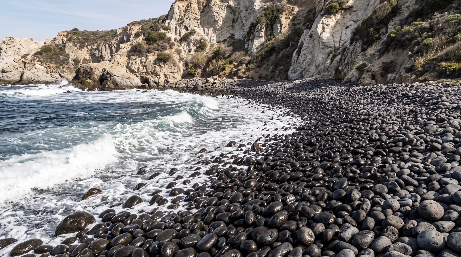
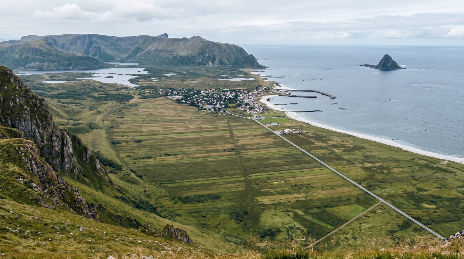
Al Mughsail runs for several kilometres west of Salalah, a broad beach of pale sand with sheer cliffs at its western end where the Dhofar mountains come down to the sea. At that end a set of blowholes has been developed with walkways and railings: sea caves under the rock compress water and air, and in a big swell the spray is forced up through vents in the ground with considerable force and noise, an effect strongest during the summer monsoon when the sea is roughest. Beyond the beach the coast road climbs the escarpment in a series of hairpins toward Fazayah and the Yemeni border. Frankincense trees grow in the wadis behind.
What you'll find
- The blowholes - the vents firing spray in high swell, with walkways over them.
- The beach - the long sand strand below the cliffs.
- The cliff road - the hairpins climbing west from the bay.
- Frankincense trees - the stands in the wadis behind the shore.
When to go
July to September during the khareef, when swell is at its highest and the blowholes work best; that is also the busiest season. October to April is calm, the blowholes are usually quiet, and the beach is at its best for swimming.
Good to know
The blowholes only perform in big swell and do nothing on calm days. Khareef crowds and traffic are heavy. Currents on the beach are strong and there are no lifeguards. Litter in season is a significant problem.
Nearby
Fazayah lies west over the escarpment; Salalah is east.
What to pack for Al Mughsail Beach
Chosen from what this place is for. Tap a kit for the full checklist.
- Reef-safe sunscreen - High SPF that will not bleach the coral you are swimming over. Find on Amazon
- Head torch + spare batteries - Hands-free light is essential; caves are truly dark. Find on Amazon
- Strong insect repellent - DEET or picaridin; the jungle is where bites and disease risk are highest. Find on Amazon
- Quick-dry towel - A microfibre towel packs small and dries in minutes. Find on Amazon
Some links on this page are Amazon affiliate links - if you buy through them we may earn a small commission at no extra cost to you.
All packing kitsPlan your trip
Where to start if Al Mughsail Beach is going on the list.
Booking links on this page are affiliate links - if you book through them we may earn a small commission at no extra cost to you. It never changes what we write about a place.
Opening times, ticket prices and seasonal closures change - check the official source before you go: official site.