Traena
A remote island group on the Arctic Circle with sugarloaf peaks, four thousand years of settlement and a summer festival.
Updated 4 September 2026

AI illustration
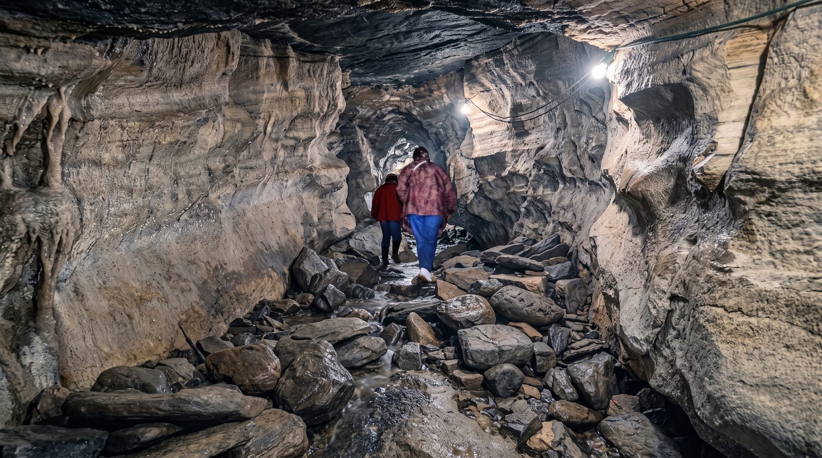
Traena lies about thirty-three nautical miles out in the Norwegian Sea on the Arctic Circle, a scatter of islands and skerries with around four hundred residents, and it is one of the oldest continuously settled places in northern Norway: finds in the Kirkehelleren cave on Sanna go back some nine thousand years, and the cave itself, a vast opening in the rock, was used for burials in the Iron Age. Sanna's ridge of sharp peaks, the highest at 338 metres, gives the group its profile from a long way off. Husoya holds the harbour, the shop and most of the houses. Since 2003 the Traenafestivalen has brought several thousand people out each July for concerts, including one held inside the cave.
What you'll find
- The Sanna peaks - a sharp ridge of rock spires above the sea.
- Kirkehelleren - a huge cave with nine thousand years of use.
- The fishing village - the harbour and settlement on Husoya.
- The July festival - concerts including one staged inside the cave.
When to go
June to August for the midnight sun, reliable boats and the festival in July; the crossing is long and exposed, so calm weather matters. Winter service is reduced and storms cancel sailings regularly.
Practical notes
The crossing takes hours in open water and is often rough. Accommodation is very limited and sells out entirely during the festival. The shop and eating options are minimal, and the walk to the cave on Sanna is steep and rough.
Nearby
Lovund's puffin colony is on the same boat route; Sandnessjoen and the Helgeland coast lie inshore.
What to pack for Traena
Chosen from what this place is for. Tap a kit for the full checklist.
- Broken-in walking shoes or boots - Grip and ankle support matter more than looks; never hike in brand-new boots. Find on Amazon
- Travel rod + reel - A packable multi-piece rod fits in a case and covers most holiday fishing. Find on Amazon
- Head torch + spare batteries - Hands-free light is essential; caves are truly dark. Find on Amazon
- Spare batteries + cards - Cold and long shoots drain power; never run out at the good light. Find on Amazon
Some links on this page are Amazon affiliate links - if you buy through them we may earn a small commission at no extra cost to you.
All packing kitsPlan your trip
Where to start if Traena is going on the list.
Booking links on this page are affiliate links - if you book through them we may earn a small commission at no extra cost to you. It never changes what we write about a place.
Opening times, ticket prices and seasonal closures change - check the official source before you go: official site.