Isfjorden
Svalbard's largest fjord, the corridor onto which Longyearbyen and most of the archipelago's settlements open.
Updated 21 October 2026

AI illustration
Isfjorden runs about a hundred kilometres into the western side of Spitsbergen and branches into a set of arms that contain most of what visitors to Svalbard actually see: Longyearbyen at the head of Adventfjorden, the Russian mining settlement of Barentsburg, the abandoned Pyramiden with its Lenin bust and empty apartment blocks, the Nordenskiold glacier front, and the bird cliffs at Alkhornet. Boats run all of these from Longyearbyen in summer; in spring the frozen inner arms are crossed by snowmobile. The fjord no longer freezes over reliably in winter, a change documented over the past two decades and among the clearest local signs of Arctic warming.
History
In 1612 a Basque whaling ship from San Sebastian under Juan de Erauso, piloted by the Englishman Nicholas Woodcock, set up the first temporary whaling station here. French, Basque and Dutch whalers came in 1613 and were driven off or made to pay by English ships, and in 1614 the Dutch agreed to leave Isfjorden to the English (Wikipedia, Isfjorden (Svalbard)).
The landscape
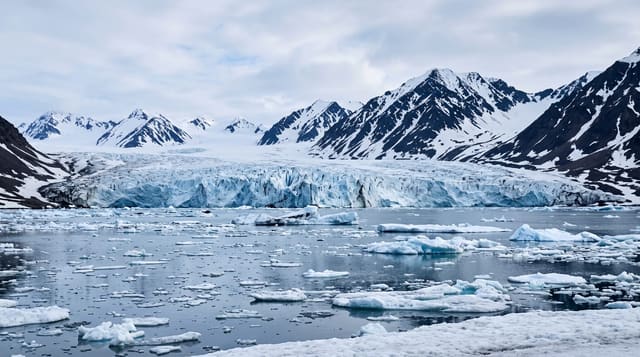
- The glacier fronts - Nordenskiold and others calving into the arms.
- Pyramiden - an abandoned Soviet mining town preserved by the cold.
- Barentsburg - a working Russian settlement across the fjord.
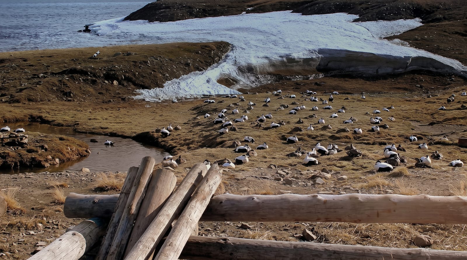
- The bird cliffs - large colonies at Alkhornet and elsewhere.
When to go
June to September for boat trips, when the fjord is open water and the wildlife active; March to May for snowmobile trips with returning light and snow cover. Winter darkness runs from late October to mid-February.
Good to know
Everything outside Longyearbyen requires an organised trip with an armed guide because of polar bears, and independent travel is heavily regulated. Trips are weather-dependent and expensive. Wildlife sightings, including bears, are never guaranteed.
Nearby
Longyearbyen sits on the fjord; Pyramiden, Barentsburg and the glacier fronts are reached from it.
Key facts
Source: Wikidata, item Q1627557, read on 18 October 2026.
What to pack for Isfjorden
Chosen from what this place is for. Tap a kit for the full checklist.
- Broken-in walking shoes or boots - Grip and ankle support matter more than looks; never hike in brand-new boots. Find on Amazon
- Binoculars - The single best wildlife tool - even a compact pair transforms a sighting. Find on Amazon
- Warm base layers - Merino or synthetic against the skin - never cotton, which chills when damp. Find on Amazon
- Layers + a waterproof shell - Mountain weather turns fast; a packable rain jacket saves the day. Find on Amazon
Some links on this page are Amazon affiliate links - if you buy through them we may earn a small commission at no extra cost to you.
All packing kitsPlan your trip
Where to start if Isfjorden is going on the list.
Booking links on this page are affiliate links - if you book through them we may earn a small commission at no extra cost to you. It never changes what we write about a place.
Opening times, ticket prices and seasonal closures change - check the official source before you go: official site.