Río San Juan
The jungle river draining Lake Nicaragua to the Caribbean, once a route between the oceans and still travelled by boat.
Updated 21 October 2026
The Río San Juan runs about two hundred kilometres from Lake Nicaragua to the Caribbean, and for three centuries it was one of the most strategically important waterways in the Americas: the route by which Spanish silver left the interior, by which pirates came upstream to sack Granada, and along which nineteenth-century travellers crossed between the oceans on Vanderbilt's transit line during the California gold rush. It was surveyed repeatedly as a canal route and lost to Panama. Today it is a working river with boats connecting settlements that have no roads, running past rainforest on the Indio Maíz side and rapids at El Castillo. The journey downstream, in stages, is the experience rather than any single stop.
History
Before the Panama Canal the river was a main part of the route between the Atlantic and the Pacific, and during the California Gold Rush tens of thousands of people travelled up it on steamboats of Cornelius Vanderbilt's Accessory Transit Company, crossing Lake Nicaragua and finishing by stagecoach to the Pacific. It was part of a proposed route for a Nicaragua Canal in the 19th century (Wikipedia, San Juan River (Nicaragua)).
What you'll find
- Boat travel between villages - the river as the only road for its settlements.
- Rainforest banks - Indio Maíz forest on the northern side.
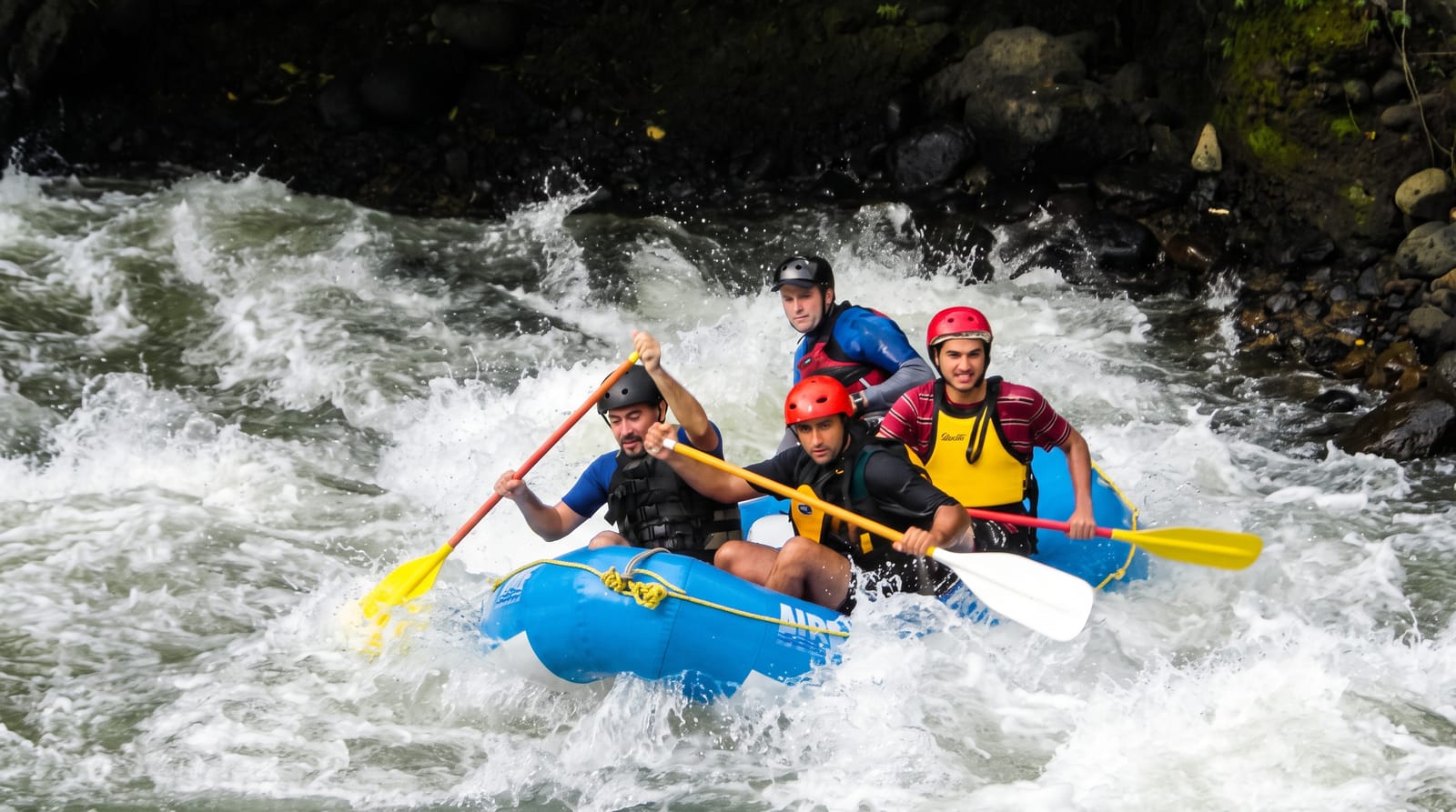
- The rapids at El Castillo - the shallows the fortress was built to command.
- River wildlife - caimans, turtles, herons and monkeys along the banks.
When to go
December to April is drier and boats run more reliably. Water levels affect the lower river and the rapids. The wet season brings heavy rain but higher water for navigation.
Good to know
Boats run to fixed schedules that are sparse and change, so travel takes planning and patience. There are no roads, so a missed boat means a lost day. Accommodation downstream is basic. Rain, heat and insects are constant.
Nearby
San Carlos is the upstream terminus; El Castillo and Indio Maíz lie downstream.
Key facts
Source: Wikidata, item Q1161204, read on 18 October 2026.
What to pack for Río San Juan
Chosen from what this place is for. Tap a kit for the full checklist.
- Broken-in walking shoes or boots - Grip and ankle support matter more than looks; never hike in brand-new boots. Find on Amazon
- Binoculars - The single best wildlife tool - even a compact pair transforms a sighting. Find on Amazon
- Strong insect repellent - DEET or picaridin; the jungle is where bites and disease risk are highest. Find on Amazon
- Layers + a waterproof shell - Mountain weather turns fast; a packable rain jacket saves the day. Find on Amazon
Some links on this page are Amazon affiliate links - if you buy through them we may earn a small commission at no extra cost to you.
All packing kitsPlan your trip
Where to start if Río San Juan is going on the list.
Booking links on this page are affiliate links - if you book through them we may earn a small commission at no extra cost to you. It never changes what we write about a place.
Opening times, ticket prices and seasonal closures change - check the official source before you go: official site.