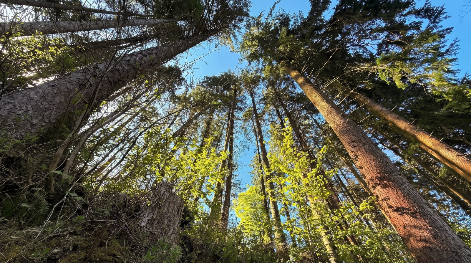
Tararua Forest Park
The steep, wet, wind-hammered ranges where Wellington trampers learn, with over fifty huts and a hard reputation.
Updated 21 October 2026
The Tararuas run about eighty kilometres between the Manawatu and the Wairarapa, and they sit directly across the path of the westerlies funnelling through Cook Strait - which is why they are drenched, why the tops are stripped to tussock and leatherwood, and why they have a reputation out of proportion to their modest height. Weather here changes in minutes and the ranges have a long list of fatalities among people who treated them as a small hill. That said, they are also the training ground for generations of Wellington trampers, with more than fifty huts, well-marked routes and river valleys that are straightforward in settled weather. Popular objectives include Mount Holdsworth and the Jumbo circuit from Masterton, Field Hut and Kime from Otaki Forks, and the Southern Crossing for the experienced. Day walks from the road ends - Atiwhakatu, Otaki Forks flats - need none of the alpine skills the tops do.
History
The range was part of traditional Māori travel routes between the Wairarapa and the Kāpiti Coast, and was heavily logged from the late 19th century. In 1954 it became New Zealand's first forest park, and the Tararua Tramping Club, founded in 1919, has long been central to its tracks and huts (Wikipedia, Tararua Forest Park).
Highlights
- The stripped tops - tussock and leatherwood above the bushline.
- The hut network - over fifty, from basic to serviced.
- The river valleys - the easy walking, from every road end.
- The weather - the defining feature, straight off the Tasman.
When to go
December to March for the tops; valley walks work year round. Check the forecast obsessively - conditions at the road end say nothing about the ridge.
What to expect
The tops are genuinely dangerous in bad weather. River crossings rise fast after rain. Carry a locator beacon for anything above the bushline. Day valley walks are a different, much gentler proposition.
Nearby
Otaki and the Kapiti Coast are west; Masterton and the Wairarapa are east.
Key facts
Source: Wikidata, item Q7685515, read on 18 October 2026.
What to pack for Tararua Forest Park
Chosen from what this place is for. Tap a kit for the full checklist.
- Broken-in walking shoes or boots - Grip and ankle support matter more than looks; never hike in brand-new boots. Find on Amazon
- Shelter suited to the place - Tent, tarp or hut booking - match it to the terrain and rules. Find on Amazon
- Layers + a waterproof shell - Mountain weather turns fast; a packable rain jacket saves the day. Find on Amazon
- A warm sleeping bag + mat - Rated a little colder than you expect the nights to be. Find on Amazon
Some links on this page are Amazon affiliate links - if you buy through them we may earn a small commission at no extra cost to you.
All packing kitsPlan your trip
Where to start if Tararua Forest Park is going on the list.
Booking links on this page are affiliate links - if you book through them we may earn a small commission at no extra cost to you. It never changes what we write about a place.
Opening times, ticket prices and seasonal closures change - check the official source before you go: official site.