Pelorus River
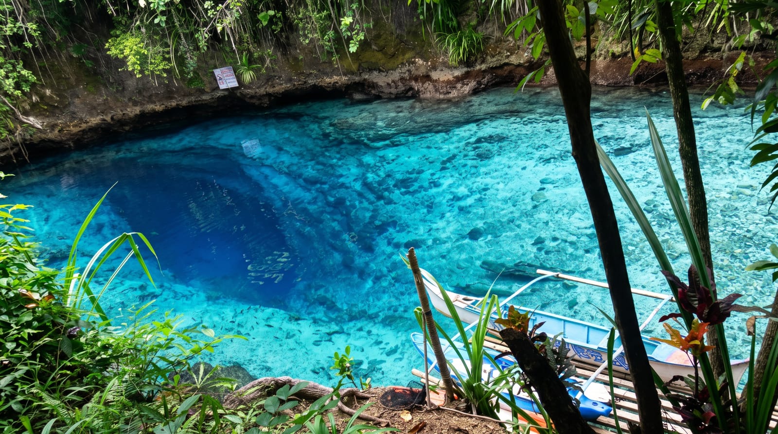
Green water over pale rock at Pelorus Bridge, with a reserve of forest that escaped the milling around it.
Updated 21 October 2026
The Pelorus runs over granite and greywacke through a narrow gorge at Pelorus Bridge, and the combination of pale bedrock, depth and clarity gives the water an intense green that photographs as though it has been adjusted. The reserve here is about a square kilometre of mature podocarp-hardwood forest - rimu, matai and beech - and it survives only because a proposal to mill it in the 1900s met enough public objection to stop, leaving an island of old forest in a valley that was otherwise cut over. Short walks run from the car park: the Totara Walk of ten minutes, the Circle Walk of about an hour, and longer tracks up the Pelorus and Rai valleys. Swimming holes under and above the bridge are the summer draw, and jumping from the bridge and rocks is popular and has caused serious injuries - depths shift with each flood. A cafe and DOC campground sit at the road.
History
Māori knew the river as Te Hoiere, after the first canoe to travel to the South Island, and Lieutenant Chetwode of HMS Pelorus named the river and the sound after his ship in 1838. From about 1881 to 1915 the Brownlee Tramway carried timber down the valley to Havelock, and in August 2014 the official name became Te Hoiere / Pelorus River (Wikipedia, Pelorus River).
Highlights
- The green water - depth and pale bedrock, in the gorge under the bridge.
- The old forest - rimu and matai that escaped the mill.
- The swimming holes - above and below the bridge.
- The short loops - ten minutes to an hour from the car park.
When to go
December to March for swimming. The forest walks work year round. Weekend afternoons in summer are busy at the bridge.
What to expect
Jumping from the bridge and rocks has caused serious injuries - river depth changes after every flood and cannot be assumed. The water is cold. Parking on SH6 is limited and the road is fast.
Nearby
Havelock and the Marlborough Sounds are east; Nelson is west.
Key facts
Source: Wikidata, item Q4068641, read on 18 October 2026.
What to pack for Pelorus River
Chosen from what this place is for. Tap a kit for the full checklist.
- Broken-in walking shoes or boots - Grip and ankle support matter more than looks; never hike in brand-new boots. Find on Amazon
- Reef-safe sunscreen - High SPF that will not bleach the coral you are swimming over. Find on Amazon
- Quick-dry clothing - Board shorts or synthetics that shrug off spray and dry fast. Find on Amazon
- Layers + a waterproof shell - Mountain weather turns fast; a packable rain jacket saves the day. Find on Amazon
Some links on this page are Amazon affiliate links - if you buy through them we may earn a small commission at no extra cost to you.
All packing kitsPlan your trip
Where to start if Pelorus River is going on the list.
Booking links on this page are affiliate links - if you book through them we may earn a small commission at no extra cost to you. It never changes what we write about a place.
Opening times, ticket prices and seasonal closures change - check the official source before you go: official site.