Mount Pirongia
A worn volcanic massif south-west of Hamilton, climbed through mud and cloud forest to a boardwalk summit.
Updated 21 October 2026
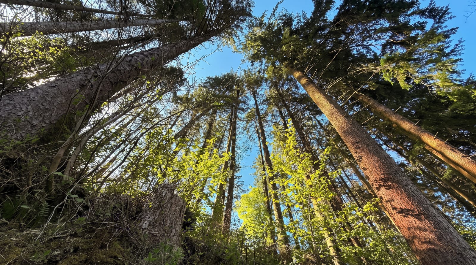
Pirongia is an eroded andesite volcano of about 959 metres whose summit is not a peak so much as a set of knobs on a broad ridge, covered in stunted goblin forest - moss-hung, dripping and often in cloud, which is what makes the top feel far higher than it is. The standard route from Corcoran Road climbs steadily for three to four hours to the summit boardwalk and the Pahautea Hut, a DOC hut with bunks and tent platforms just below the top. The defining feature of tramping here is mud: the tracks hold water, the roots are slick, and people routinely underestimate how long the descent takes because of it. On a clear day the view runs from Kawhia Harbour to Ruapehu; in cloud, which is common, it runs about ten metres. The lower slopes have short family walks and waterfalls that need none of the above.
History
The mountain was first encountered after the Tainui canoe made landfall about 800 years ago, and its present name, Te Pirongia o Te Aroaro ō Kahu, comes from the ancestress Kahupekapeka, who named many peaks of the Waikato. A restoration society was formed after a hui at Pūrekireki Marae on 20 April 2002, and on 18 December 2024 its second-highest peak, The Cone, was renamed Pūāwhē (Wikipedia, Mount Pirongia).
Highlights
- The goblin forest - stunted, moss-covered cloud forest near the top.
- The summit boardwalk - the walkway across the boggy crest.
- Pahautea Hut - bunks and tent platforms below the summit.
- The lower walks - short tracks and waterfalls at the base.
When to go
November to April. Book the hut ahead. Start early - the descent through mud takes longer than the climb suggests, and being caught out in cloud here is unpleasant.
Practical notes
The track is genuinely muddy for most of its length, whatever the recent weather. Cloud sits on the summit often enough that a clear view is luck. Carry warm layers - the top is much colder than the car park.
Nearby
Te Awamutu is east; Kawhia Harbour and Raglan are on the coast west.
Key facts
Source: Wikidata, item Q1950639, read on 18 October 2026.
What to pack for Mount Pirongia
Chosen from what this place is for. Tap a kit for the full checklist.
- Broken-in walking shoes or boots - Grip and ankle support matter more than looks; never hike in brand-new boots. Find on Amazon
- Quick-dry clothing - Board shorts or synthetics that shrug off spray and dry fast. Find on Amazon
- Shelter suited to the place - Tent, tarp or hut booking - match it to the terrain and rules. Find on Amazon
- Layers + a waterproof shell - Mountain weather turns fast; a packable rain jacket saves the day. Find on Amazon
Some links on this page are Amazon affiliate links - if you buy through them we may earn a small commission at no extra cost to you.
All packing kitsPlan your trip
Where to start if Mount Pirongia is going on the list.
Booking links on this page are affiliate links - if you book through them we may earn a small commission at no extra cost to you. It never changes what we write about a place.
Opening times, ticket prices and seasonal closures change - check the official source before you go: official site.