Jebel Saghro
A dry volcanic range between the Dades and the Draa, walked in winter when the High Atlas is under snow.
Updated 29 August 2026
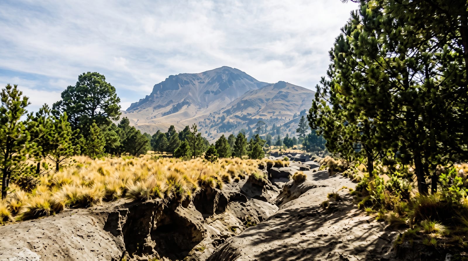
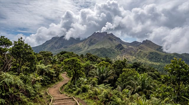
Jebel Saghro is the range between the last ridges of the High Atlas and the Draa valley, a bare volcanic massif of black rock, eroded towers and dry gorges with almost no trees. It is trekking country with a specific niche: it stays walkable through the winter months when snow closes the higher Atlas, and its landscape, closer to desert than mountain, is unlike anything further north. Routes run for two to six days between nomad camps and villages, past the pinnacles of Bab n'Ali, which are the range's landmark, and up to summits over two thousand metres with views south towards the desert. Water is scarce and the walking is on stone.
Highlights
- Bab n'Ali - the rock pinnacles that are the range's best known formation.
- The volcanic ridges - black eroded rock, towers and dry gorges.
- The nomad camps - seasonal tents and flocks on the high pastures.
- The southern views - the drop towards the Draa valley and the desert beyond.
When to go
The season runs from October to April, which is exactly when the High Atlas is difficult. Winter days are clear and cool for walking, but nights drop below freezing at altitude. Spring adds a little green and almond blossom on the fringes. From May the heat makes multi-day walking unpleasant and water even scarcer.
Things to know
This is austere country and not everyone enjoys it: no forest, little water, long stony stretches and a lot of the same colour. Trekking needs a guide, mules and planned water, which means organising ahead rather than turning up. Accommodation is tents or basic village rooms. Nights are colder than people expect and dust gets into everything.
Nearby
The Dades valley is on the northern side, and N'Kob and the Draa valley lie to the south.
Key facts
Source: Wikidata, item Q1232107, read on 18 October 2026.
What to pack for Jebel Saghro
Chosen from what this place is for. Tap a kit for the full checklist.
- Broken-in walking shoes or boots - Grip and ankle support matter more than looks; never hike in brand-new boots. Find on Amazon
- Warm base layers - Merino or synthetic against the skin - never cotton, which chills when damp. Find on Amazon
- Loose, light, long clothing - Covering up beats bare skin in the desert - and locals dress this way for a reason. Find on Amazon
- Layers for big temperature swings - Warm sun by day, near-freezing at night, even near the equator. Find on Amazon
Some links on this page are Amazon affiliate links - if you buy through them we may earn a small commission at no extra cost to you.
All packing kitsPlan your trip
Where to start if Jebel Saghro is going on the list.
Booking links on this page are affiliate links - if you book through them we may earn a small commission at no extra cost to you. It never changes what we write about a place.
Opening times, ticket prices and seasonal closures change - check the official source before you go: official site.