Uureg Lake
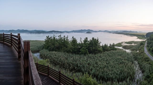
A deep blue saline lake at 1,400 metres ringed by mountains, with the Tsagaan Shuvuut range rising above it.
Updated 31 August 2026
Uureg Nuur is one of the satellite lakes of the Uvs basin, saline and closed like the main lake but deeper and much smaller, set in a bowl with mountains on nearly every side including the Tsagaan Shuvuut range which rises above three thousand metres to the north. The water is a strong blue, the shores are stony rather than marshy, and the setting is more dramatic than the flat expanses elsewhere in the basin, which is why it is the lake most photographers stop at on the western circuit. Herders camp on the flats around it in summer. Because it is saline there are no fish of interest and swimming is a matter of taste, but the shore makes good camping with the mountains reflected in the water on still mornings. It sits on the road between Ulaangom and Olgii, so it costs little to include.
The landscape
- The blue lake - deep saline water in a mountain-ringed bowl.
- Tsagaan Shuvuut range - the peaks rising north of the shore.
- Stony shores - firmer camping ground than the marshy lakes nearby.
- Herder camps - summer settlements on the surrounding flats.
When to go
June to September; the lake freezes in winter and the road can be blocked. Still mornings give the reflections that make the photographs. Wind builds through the day and the shore is exposed.
What to expect
There are no facilities, no camp and no shelter; this is wild camping. The water is saline and cold. Wind is a constant factor and tents need proper pegging. Tracks to the shore are rough. Supplies come from Ulaangom or Olgii.
Nearby
Uvs Lake lies northeast; Achit Lake is southwest on the same road.
Key facts
Source: Wikidata, item Q978800, read on 18 October 2026.
What to pack for Uureg Lake
Chosen from what this place is for. Tap a kit for the full checklist.
- Reef-safe sunscreen - High SPF that will not bleach the coral you are swimming over. Find on Amazon
- Shelter suited to the place - Tent, tarp or hut booking - match it to the terrain and rules. Find on Amazon
- Quick-dry towel - A microfibre towel packs small and dries in minutes. Find on Amazon
- A warm sleeping bag + mat - Rated a little colder than you expect the nights to be. Find on Amazon
Some links on this page are Amazon affiliate links - if you buy through them we may earn a small commission at no extra cost to you.
All packing kitsPlan your trip
Where to start if Uureg Lake is going on the list.
Booking links on this page are affiliate links - if you book through them we may earn a small commission at no extra cost to you. It never changes what we write about a place.
Opening times, ticket prices and seasonal closures change - check the official source before you go: official site.