Los Cabos
The tip of the Baja peninsula where desert meets sea, with a natural rock arch at land's end and grey whales calving in the winter lagoons.
Updated 20 October 2026
AI illustration
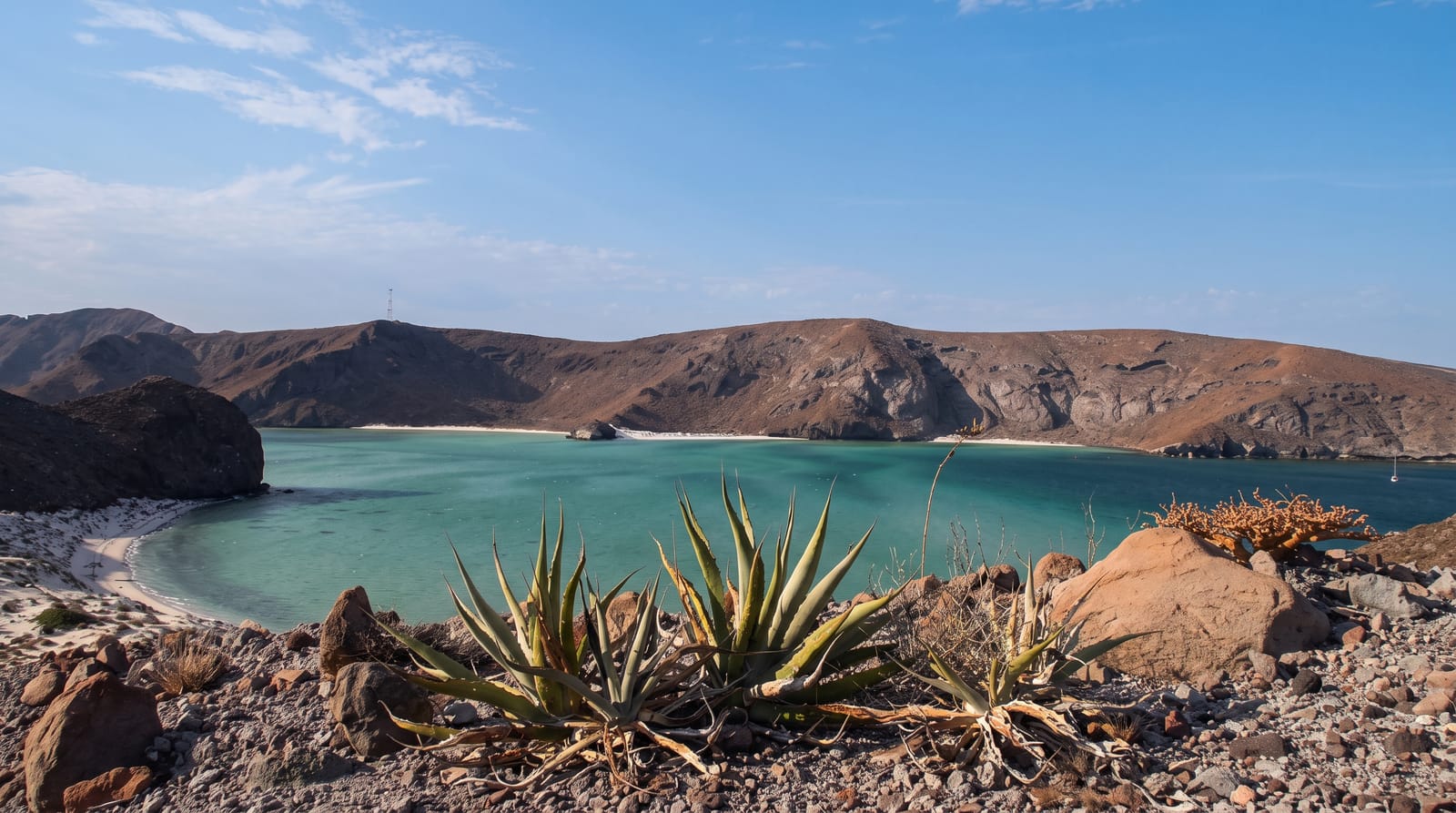
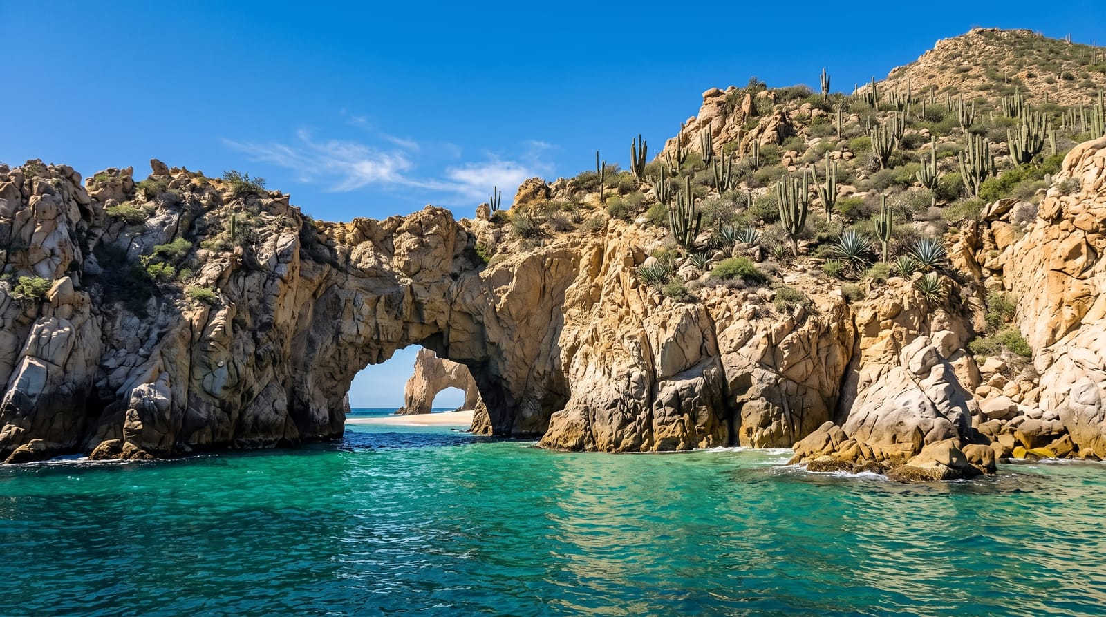
Los Cabos is where the Baja peninsula runs out and the Sea of Cortez meets the Pacific, and the landscape is unusual for a beach destination: cardón cactus and bare desert mountains running straight down to the water. At Land's End a cluster of granite stacks includes El Arco, a natural arch you can reach only by boat, with a sea lion colony on the rocks beside it. The two towns are quite different, with Cabo San Lucas loud and marina-focused and San José del Cabo keeping a colonial square and an art district, joined by a corridor of resorts. From January to March grey whales arrive after the longest migration of any mammal, and humpbacks pass too, making this one of the most reliable whale coasts anywhere.
History
The Pericú, the hunter-gatherers living here when the Spanish arrived, called San José del Cabo and Cabo San Lucas Añiñi and Yenecami. Nicolás Tamaral named San José after the Marquis of Villa Puente, who sponsored its mission, and the English navigator Thomas Cavendish called Cabo San Lucas "Safe Port"; the area stayed remote and rural until tourism grew in the late 20th century (Wikipedia, Los Cabos).
Highlights
- El Arco - the natural granite arch at Land's End, reached by water taxi.
- Whale watching - grey and humpback whales from January to March.
- San José del Cabo - the colonial square and Thursday art walk.
- Playa del Amor - the beach on the sheltered side of Land's End.
When to go
November to May is the dry, pleasant season, with whales from January to March; summer is very hot and the hurricane season runs from about August to October. The Sea of Cortez side is calm for swimming, while much of the Pacific side is not.
Before you go
Most of the Pacific-facing beaches have dangerous undertow and are marked as no-swimming, which catches out visitors who assume any beach will do; the Sea of Cortez side is where you actually swim. Water-taxi touts at the marina are persistent and prices are negotiable. It is among the most expensive parts of Mexico.
Nearby
Todos Santos is an hour north; La Paz and the Espíritu Santo island are three hours up the peninsula.
What to pack for Los Cabos
Chosen from what this place is for. Tap a kit for the full checklist.
- Reef-safe sunscreen - High SPF that will not bleach the coral you are swimming over. Find on Amazon
- Binoculars - The single best wildlife tool - even a compact pair transforms a sighting. Find on Amazon
- Loose, light, long clothing - Covering up beats bare skin in the desert - and locals dress this way for a reason. Find on Amazon
- Quick-dry towel - A microfibre towel packs small and dries in minutes. Find on Amazon
Some links on this page are Amazon affiliate links - if you buy through them we may earn a small commission at no extra cost to you.
All packing kitsPlan your trip
Where to start if Los Cabos is going on the list.
Booking links on this page are affiliate links - if you book through them we may earn a small commission at no extra cost to you. It never changes what we write about a place.
Opening times, ticket prices and seasonal closures change - check the official source before you go: official site.