Tanjung Rhu
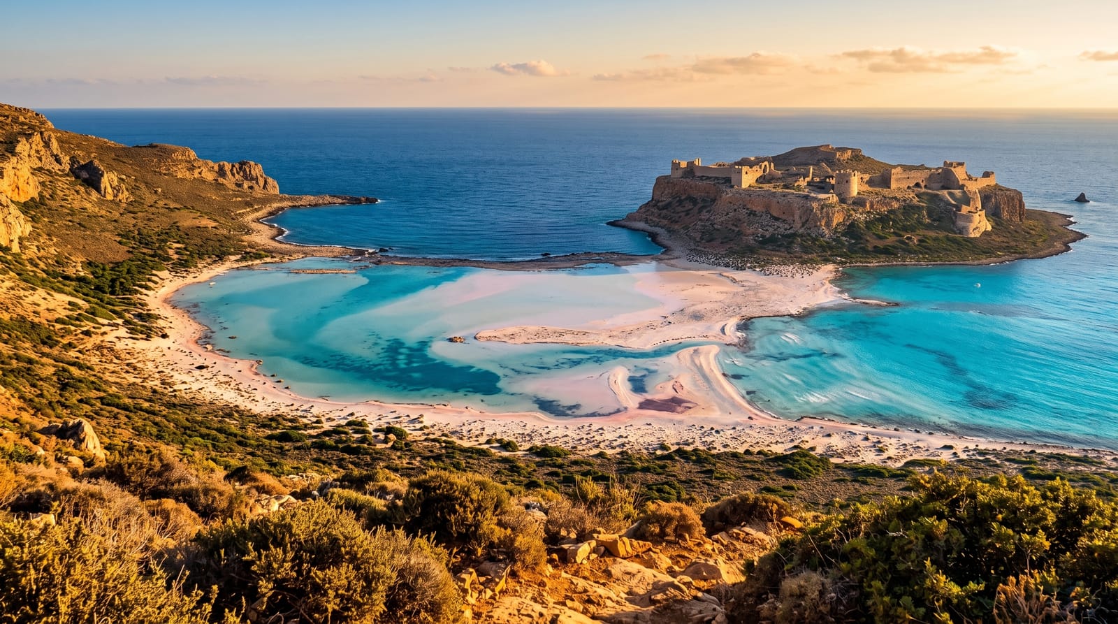
A quiet white sand beach on Langkawi's northern shore, backed by casuarina with limestone islands offshore.
Saved in this browser only - no account, nothing sent anywhere. See your map
Tanjung Rhu is on the northern shore of Langkawi and is generally considered the best beach on the island: a long curve of pale sand backed by the casuarina trees - rhu - that give it its name, facing a channel with limestone islands and karst stacks standing out of the water, with the Andaman Sea beyond. Because it is at the end of a road with only two resorts on it and no strip of development, it stays quiet in a way Cenang cannot. At low tide a sandbar emerges and you can walk a long way out towards the nearest islands, which is the thing people remember. Boat trips to the mangroves of the Kilim geoforest park leave from the jetty at the eastern end. There is limited shade and few facilities beyond the resorts.
What you actually see
- Pale sand and casuarina - the long quiet curve the beach is known for.
- Karst islands offshore - limestone stacks standing in the channel.
- A low tide sandbar - walkable a long way out towards the islands.
- Kilim mangrove boats - trips leaving from the jetty at the end.
When to go
December to March; low tide for the sandbar. Half a day.
Honest expectations
There is no public transport and few facilities outside the two resorts - bring water. Shade is limited. Jellyfish appear seasonally. Boat touts at the jetty are persistent.
Nearby
The Kilim geoforest park is east; Gunung Raya and Durian Perangin are inland.
What to pack for Tanjung Rhu
Chosen from what this place is for. Tap a kit for the full checklist.
Opening times, ticket prices and seasonal closures change - check the official source before you go: official site.