Shimanto River
The last clear stream, crossed by bridges built with no railings so floods can pass over them.
Updated 29 August 2026
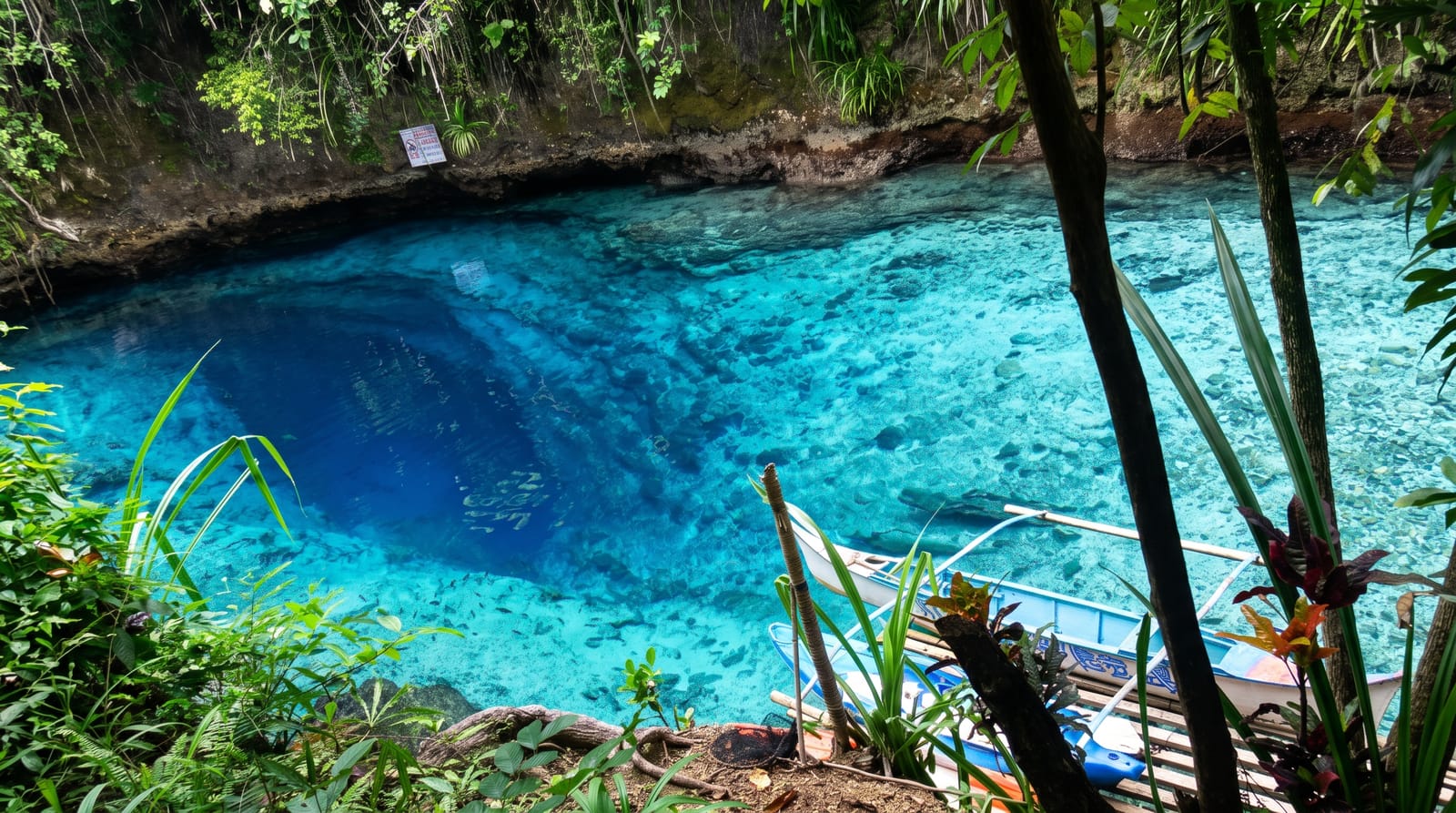
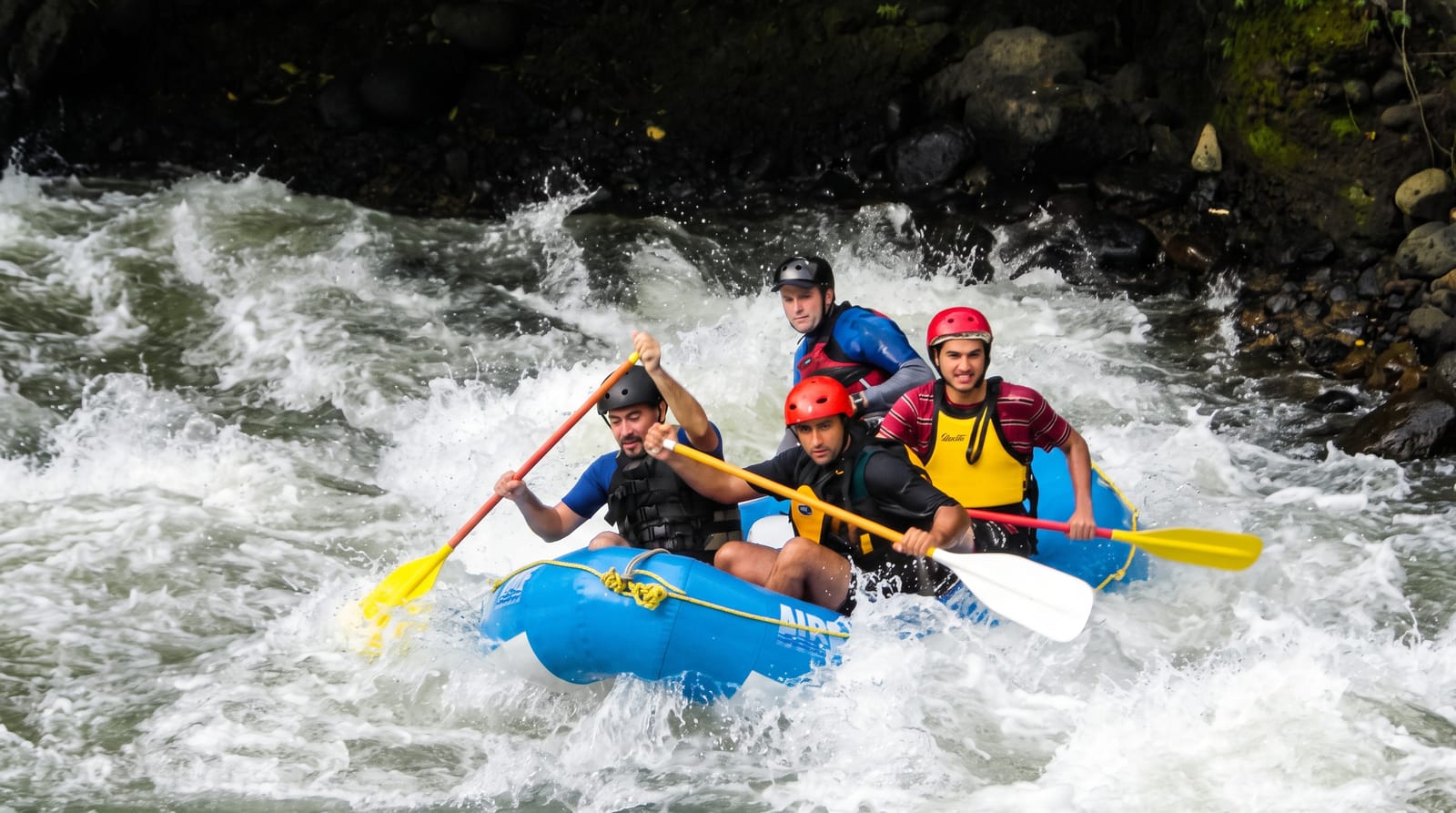
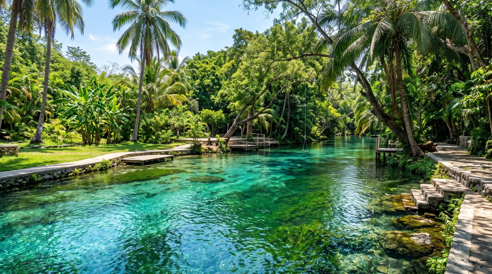
The Shimanto is 196 kilometres long and has no large dam on its main stem, which is why it is routinely called the last clear stream in Japan - a description that is comparative rather than absolute, since the water is not pristine, but the absence of a dam does keep the gravel moving and the flow natural. The chinkabashi are the river's signature: low concrete bridges built deliberately without railings, so that when the river rises the water passes over them without tearing them away. Around forty-seven of them cross the river and its tributaries, and driving or cycling across one, with the water a few centimetres below the deck and nothing at the edge, is the experience people remember. Canoes and flat sightseeing boats work the lower reaches, a cycle route follows the bank, and the river's food is ayu, eel and river shrimp.
The landscape
- No main-stem dam - the reason the gravel keeps moving and the flow stays natural.
- Chinkabashi - low bridges built without railings so floods pass over them.
- Around forty-seven crossings - on the river and its tributaries.
- River food - ayu, eel and freshwater shrimp from the same water.
When to go
April to October; summer for canoeing. Two days.
Practical notes
The railless bridges are genuinely unnerving and some are single-vehicle width. Public transport along the river is minimal - cycle or drive. The water is clear by Japanese standards rather than pristine. Typhoon season closes the low bridges entirely.
Nearby
Cape Ashizuri is south; Uwajima is north into Ehime.
Key facts
Source: Wikidata, item Q124878, read on 18 October 2026.
What to pack for Shimanto River
Chosen from what this place is for. Tap a kit for the full checklist.
- Broken-in walking shoes or boots - Grip and ankle support matter more than looks; never hike in brand-new boots. Find on Amazon
- Quick-dry clothing - Board shorts or synthetics that shrug off spray and dry fast. Find on Amazon
- Padded shorts - The one thing that makes a full day in the saddle bearable. Find on Amazon
- Layers + a waterproof shell - Mountain weather turns fast; a packable rain jacket saves the day. Find on Amazon
Some links on this page are Amazon affiliate links - if you buy through them we may earn a small commission at no extra cost to you.
All packing kitsPlan your trip
Where to start if Shimanto River is going on the list.
Booking links on this page are affiliate links - if you book through them we may earn a small commission at no extra cost to you. It never changes what we write about a place.
Opening times, ticket prices and seasonal closures change - check the official source before you go: official site.