Cape Soya
The northernmost point of Japan reachable by road, marked by a monument and very little else.
Updated 19 October 2026
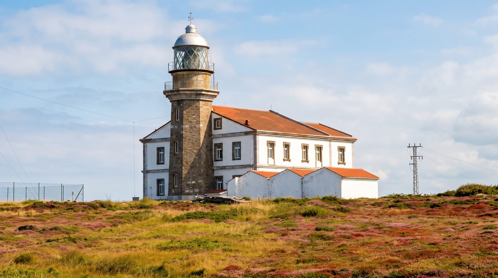
Soya Misaki at 45 degrees 31 minutes north is the northernmost point of Japan that can be driven to, and there is a triangular monument on a low headland to say so, with a plaque, a small shop, and wind. Sakhalin is visible across the strait on clear days, about forty kilometres away. The honest description is that this is a place people go in order to have been - the ground itself is a grassy headland with a scatter of monuments and a road, and the interest is entirely in the coordinate. What is worth adding is the hinterland: the Soya Hills behind the cape are open treeless grazing land with a wind farm and a gravel track running along the ridge, and that landscape, empty and rolling to the sea, is more memorable than the marker. Wakkanai's own hills and the North Breakwater Dome are half an hour west.
History
In the Ainu language the cape is called notetu, from not, chin or cape, and etu, nose, and the name Soya is thought to come from the Ainu so ya, "rocky shore". Among the monuments here is a statue of the explorer Mamiya Rinzō (Wikipedia, Cape Sōya).
What you'll find
- The northernmost marker - a monument at 45 degrees 31 minutes north.
- Sakhalin across the strait - visible about forty kilometres off on clear days.
- The Soya Hills - open treeless grazing ridge with a wind farm behind the cape.
- Wind - constant, and a large part of the experience.
When to go
June to September. An hour at the cape, longer for the hills behind.
Things to know
There is very little here beyond the monument and a souvenir shop. Fog frequently hides the strait. Wind is severe and cold even in summer. It is a long drive for a coordinate.
Nearby
Wakkanai is west; ferries to Rishiri and Rebun leave from its port.
Key facts
Source: Wikidata, item Q389239, read on 18 October 2026.
What to pack for Cape Soya
Chosen from what this place is for. Tap a kit for the full checklist.
- Broken-in walking shoes or boots - Grip and ankle support matter more than looks; never hike in brand-new boots. Find on Amazon
- Layers + a waterproof shell - Mountain weather turns fast; a packable rain jacket saves the day. Find on Amazon
- Daypack with rain cover - 20-30 litres holds water, snacks, layers and a first-aid kit. Find on Amazon
- Offline maps + a power bank - Download the trail before you lose signal; carry backup charge. Find on Amazon
Some links on this page are Amazon affiliate links - if you buy through them we may earn a small commission at no extra cost to you.
All packing kitsPlan your trip
Where to start if Cape Soya is going on the list.
Booking links on this page are affiliate links - if you book through them we may earn a small commission at no extra cost to you. It never changes what we write about a place.
Opening times, ticket prices and seasonal closures change - check the official source before you go: official site.