Port Erin
A sheltered sandy bay in the southwest, terminus of the steam railway.
Updated 16 October 2026
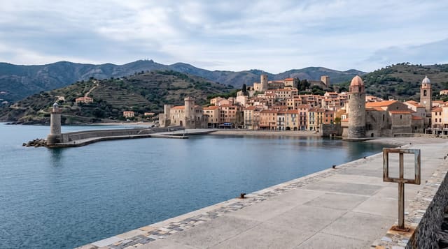
Port Erin occupies a deep bay in the southwest enclosed by Bradda Head on one side and the Mull hills on the other, with a sandy beach that is among the best on the island and a Victorian seafront of hotels built when the railway arrived. The steam railway terminus is here and a small railway museum sits beside it. The bay faces west, which gives it long evening light and shelters it from the prevailing weather.
Background
The Manx name, Purt Çhiarn, means 'lord's port', though it may first have meant 'Irish port'. The village lies in the historic parish of Rushen, its district covers around 1 square mile, and the 2021 census counted 3730 residents. An outer breakwater was built in 1863 with the help of the Port Erin Breakwater Railway, which brought the Island its first steam locomotive. A severe storm in 1884 destroyed it, it was never rebuilt, and its remains show only at low tide. The oldest building, called "white cottage" or "Christian's cottage", dates from 1781 and was put up by William Christian and his family, and the church followed in 1880, paid for by a local locksmith, William Milner.
Source: Wikipedia, "Port Erin"
The main sights
- The sandy bay - a sheltered beach enclosed by headlands on both sides.
- The Victorian seafront - the hotels built after the railway reached the village.
- The railway terminus - the end of the steam line with its small museum.
- The west-facing aspect - long evening light over the bay.
When to go
April to September for the beach and the railway. The village is very quiet in winter. Evenings in summer give the best light.
Things to know
Much of the Victorian seafront has been converted to flats and some of it is tired. Facilities thin out considerably outside the season. The beach is exposed at low tide over a long distance.
Nearby
Bradda Head is above the bay, and Port St Mary is east.
Key facts
Source: Wikidata, item Q520798, read on 18 October 2026.
What to pack for Port Erin
Chosen from what this place is for. Tap a kit for the full checklist.
- Comfortable walking shoes - Sightseeing means kilometres of pavement and cobbles daily. Find on Amazon
- A slim anti-theft daypack - Zips that close properly; keep it in front in crowds and on transit. Find on Amazon
- A refillable water bottle - Many cities have public fountains; save money and plastic. Find on Amazon
- A light layer + compact umbrella - For museum air-con and a sudden shower. Find on Amazon
Some links on this page are Amazon affiliate links - if you buy through them we may earn a small commission at no extra cost to you.
All packing kitsPlan your trip
Where to start if Port Erin is going on the list.
Booking links on this page are affiliate links - if you book through them we may earn a small commission at no extra cost to you. It never changes what we write about a place.
Opening times, ticket prices and seasonal closures change - check the official source before you go: official site.