Dunmore East
A Waterford fishing village of thatched cottages and red sandstone coves, built around a harbour designed for the mail packet.
Updated 19 October 2026
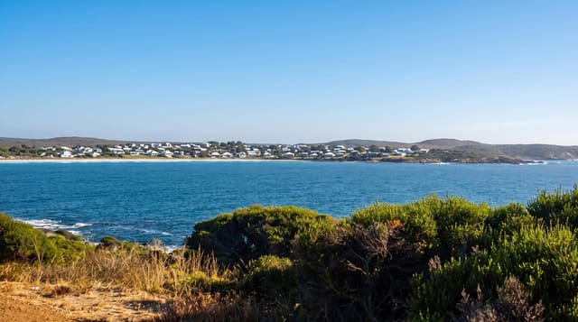
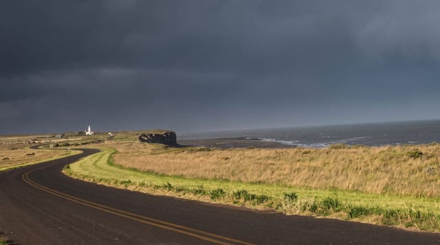
Dunmore East sits where Waterford Harbour opens into the sea, and its shape comes from a specific decision: in the 1810s it was chosen as the Irish terminus for the mail packet service to Milford Haven, and Alexander Nimmo was commissioned to build a harbour, a lighthouse and a planned village to serve it. The packet moved elsewhere within twenty years but the harbour stayed and the village became a fishing port, which it remains. The cliffs are red Old Red Sandstone, cut into a series of small coves with beaches - Councillors Strand, Ladies Cove, Lawlor's Strand - reached by paths and steps from the village. Kittiwakes nest in numbers on the cliffs right beside the harbour, unusually close to people. There are several pubs and restaurants and a strong summer sailing scene. Cliff paths run along the coast in both directions, unfenced in places.
History
The name means "east big fort". Iron Age people built a promontory fort above the sea at Shanoon, at the point long known as Black Nobb, and between 1171 and 1189 King Henry II allowed the knight Heverbricht to build a manor here, which King John confirmed in 1203 (Wikipedia, Dunmore East).
The landscape
- The Nimmo harbour - built for the mail packet in the 1810s, still working.
- The red sandstone coves - small beaches cut into the cliffs.
- The kittiwake colony - nesting on cliffs directly above the harbour.
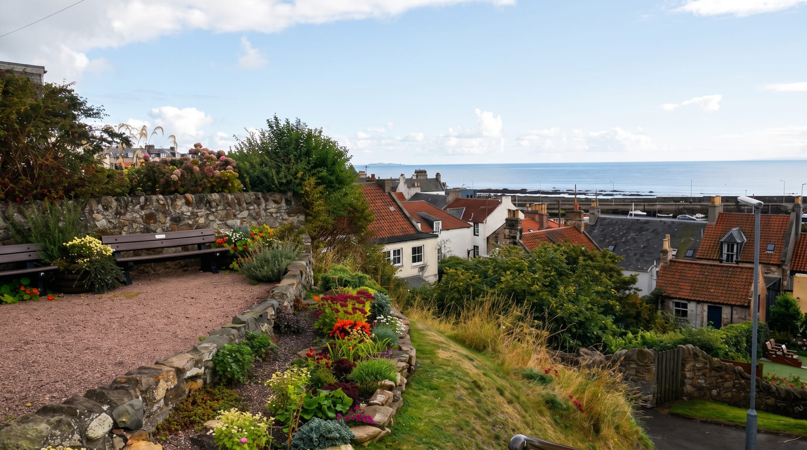
- The planned village - thatched cottages from the packet-era design.
When to go
May to September, when the coves are usable and services are open. Kittiwakes are on the cliffs from spring into midsummer. The village is busy on August weekends.
Practical notes
The coves are small and fill quickly in summer; parking is tight. Cliff paths are unfenced in sections. Lifeguard cover is limited to the main strands in high summer.
Nearby
Tramore is west along the coast; Hook Head is across the harbour mouth.
Key facts
Source: Wikidata, item Q1013935, read on 18 October 2026.
What to pack for Dunmore East
Chosen from what this place is for. Tap a kit for the full checklist.
- Broken-in walking shoes or boots - Grip and ankle support matter more than looks; never hike in brand-new boots. Find on Amazon
- Travel rod + reel - A packable multi-piece rod fits in a case and covers most holiday fishing. Find on Amazon
- Reef-safe sunscreen - High SPF that will not bleach the coral you are swimming over. Find on Amazon
- Layers + a waterproof shell - Mountain weather turns fast; a packable rain jacket saves the day. Find on Amazon
Some links on this page are Amazon affiliate links - if you buy through them we may earn a small commission at no extra cost to you.
All packing kitsPlan your trip
Where to start if Dunmore East is going on the list.
Booking links on this page are affiliate links - if you book through them we may earn a small commission at no extra cost to you. It never changes what we write about a place.
Opening times, ticket prices and seasonal closures change - check the official source before you go: official site.