Tanimbar Islands
A remote Maluku group with stone boat platforms, carved ancestor figures and a distinctive ikat tradition.
Updated 19 October 2026
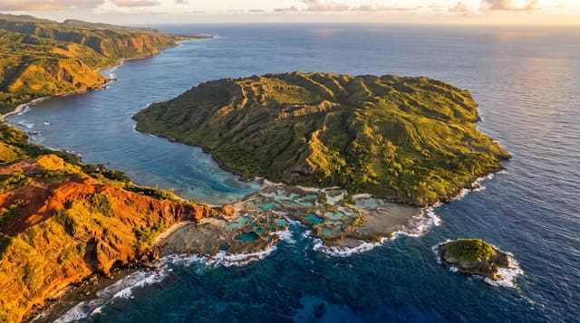
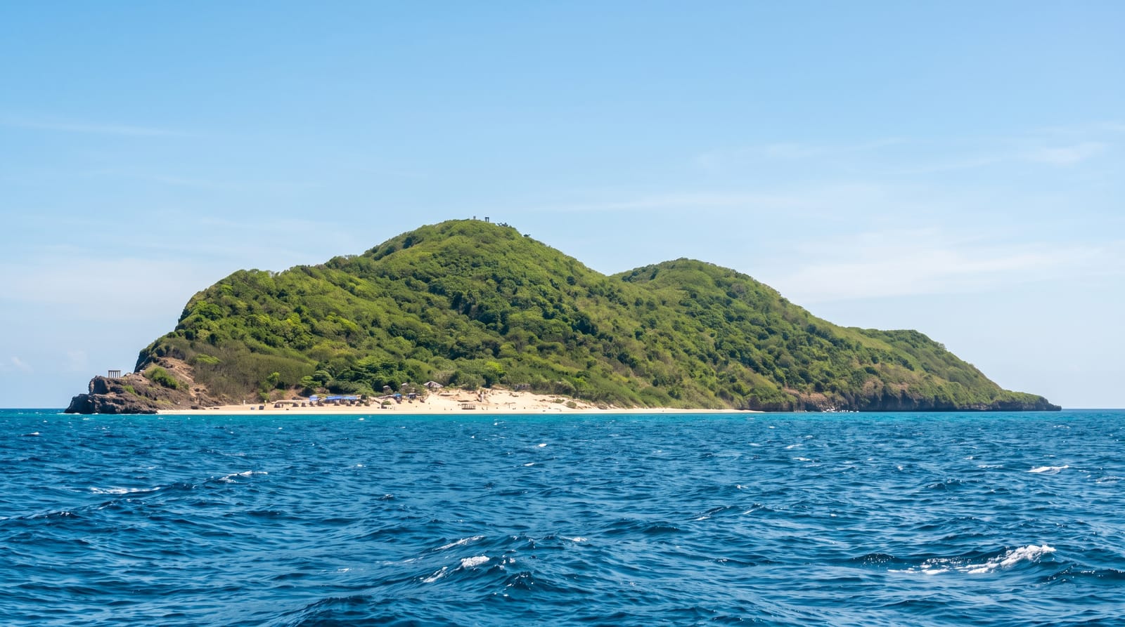
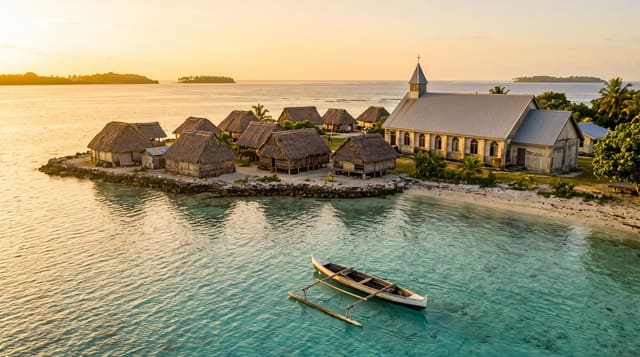
The Tanimbar group lies in the far south-east of Maluku, and its material culture is among the most distinctive in Indonesia: the natar, stone platforms built in the shape of a boat with a raised prow, standing in village centres as the focus of ritual and social order, of which the example at Sangliat Dol with its long stone stair up from the sea is the best known; carved wooden ancestor figures, tavu, and the tall openwork prow ornaments that reached European collections in the colonial period and now sit in museums in Leiden and elsewhere; and ikat weaving with dense geometric motifs. The islands are remote today, with limited flights, basic accommodation and very few visitors of any kind.
History
The islands appear on Portuguese maps of the 16th century, those of Lázaro Luís of 1563, Bartolomeu Velho of about 1560 and Sebastião Lopes of 1565, and on the 1594 map of the East Indies by the Dutch cartographer Petrus Plancius; they later became part of the Dutch East Indies (Wikipedia, Tanimbar Islands).
What to look for
- Stone boat platforms - the natar at village centres, with Sangliat Dol the largest.
- Carved ancestor figures - the tavu and prow ornaments of Tanimbar tradition.
- Geometric ikat weaving - the distinctive cloth of the islands.
- A stone stair from the sea - the ceremonial approach at Sangliat Dol.
When to go
September to March; Maluku's seasons run against Java's. Four days.
Practical notes
Flights are few and cancelled often; ferries are long. Accommodation is basic and banking limited. Much of the finest historical carving is in European museums, not on the islands.
Nearby
Kei is north; Ambon is the Maluku gateway; Timor is west.
Key facts
Source: Wikidata, item Q913624, read on 18 October 2026.
What to pack for Tanimbar Islands
Chosen from what this place is for. Tap a kit for the full checklist.
- Reef-safe sunscreen - High SPF that will not bleach the coral you are swimming over. Find on Amazon
- Quick-dry towel - A microfibre towel packs small and dries in minutes. Find on Amazon
- Water shoes - Protect your feet on rocky entries, hot sand and sea-urchin spines. Find on Amazon
- Dry bag - Keeps phone, cash and keys safe while you are in the water. Find on Amazon
Some links on this page are Amazon affiliate links - if you buy through them we may earn a small commission at no extra cost to you.
All packing kitsPlan your trip
Where to start if Tanimbar Islands is going on the list.
Booking links on this page are affiliate links - if you book through them we may earn a small commission at no extra cost to you. It never changes what we write about a place.
Opening times, ticket prices and seasonal closures change - check the official source before you go: official site.