Pichavaram Mangroves
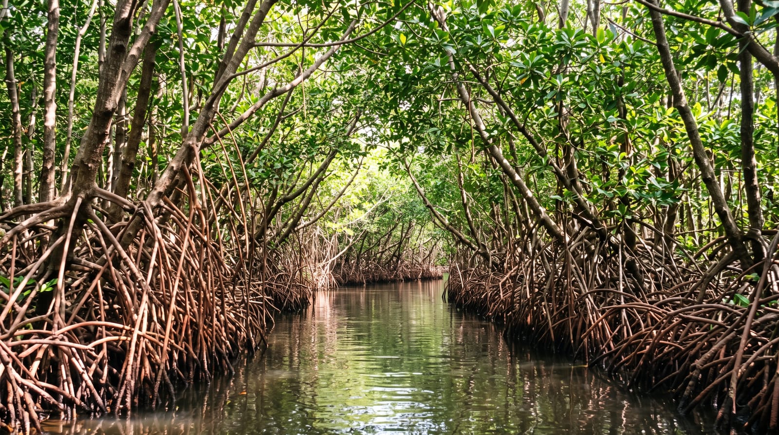
One of the largest mangrove forests in the world, rowed through in channels so narrow the roots close overhead.
Updated 4 September 2026
AI illustration
Pichavaram covers around eleven hundred hectares of mangrove between the Vellar and Coleroon estuaries, cut by a network of channels and holding around fifty islands, and it is among the largest mangrove forests anywhere. Rowed boats take visitors along channels that narrow until prop roots arch over the water and close out the sky, which is the point of the visit; motorboats run the wider routes. The forest sheltered villages behind it from the 2004 tsunami, a case widely cited in coastal protection studies. Birdlife includes herons, egrets, kingfishers and, in winter, migratory waders and flamingos.
What's there
- The narrow channels - rowed passages where roots arch overhead.
- The island network - around fifty islands within the mangrove block.
- The birdlife - herons, kingfishers and winter migrants.
- The tsunami evidence - the forest that shielded villages behind it in 2004.
When to go
October to March for birds and comfortable weather; November to January brings the most migrants. Summer is hot on open water. Boats run through the day with the longer routes best.
What to expect
The cheapest boats take the wide motor routes and miss the narrow channels entirely; the rowed long route is what to ask for. Boatmen negotiate hard. There is no shade on the water.
Nearby
Chidambaram lies west; Tranquebar is south.
What to pack for Pichavaram Mangroves
Chosen from what this place is for. Tap a kit for the full checklist.
- Broken-in walking shoes or boots - Grip and ankle support matter more than looks; never hike in brand-new boots. Find on Amazon
- Binoculars - The single best wildlife tool - even a compact pair transforms a sighting. Find on Amazon
- Layers + a waterproof shell - Mountain weather turns fast; a packable rain jacket saves the day. Find on Amazon
- A zoom camera or long lens - Animals rarely come close; reach beats megapixels. Find on Amazon
Some links on this page are Amazon affiliate links - if you buy through them we may earn a small commission at no extra cost to you.
All packing kitsPlan your trip
Where to start if Pichavaram Mangroves is going on the list.
Booking links on this page are affiliate links - if you book through them we may earn a small commission at no extra cost to you. It never changes what we write about a place.
Opening times, ticket prices and seasonal closures change - check the official source before you go: official site.