Netarhat
A quiet Jharkhand plateau known for sunrise and sunset points, and a residential school in the forest.
Updated 21 October 2026
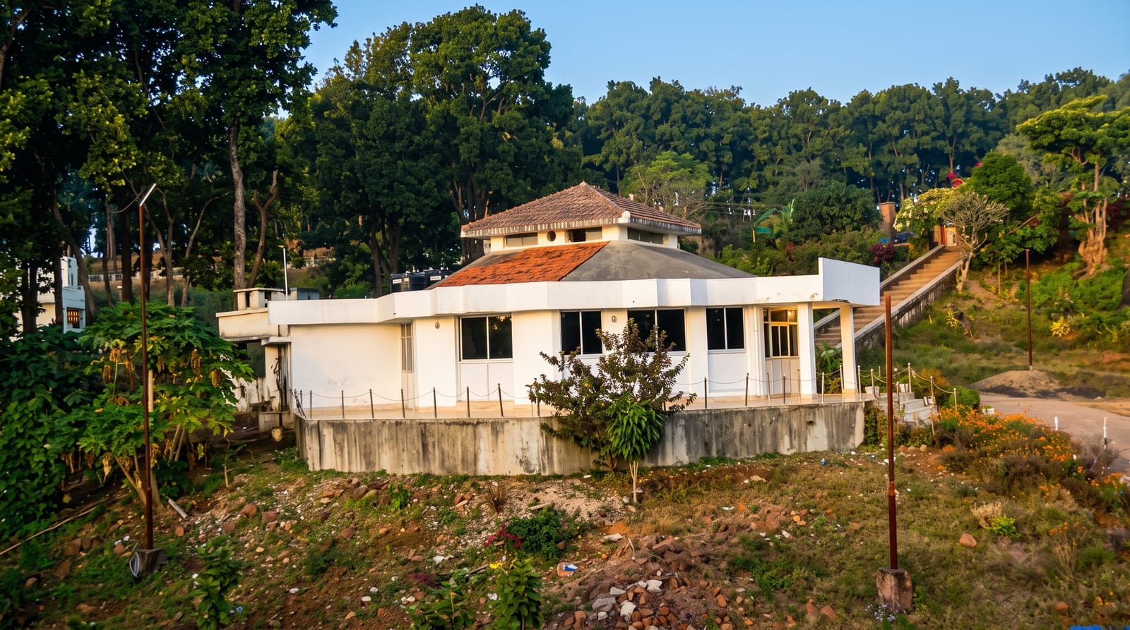
AI illustration
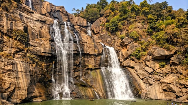
Netarhat sits at about 1,130 metres on the Chota Nagpur plateau, forested with sal and pine, and it was developed as a hill retreat in the colonial period; it is commonly called the queen of Chotanagpur. Its fixed points are two viewpoints, Magnolia Point for sunset, named after a story about an English girl and a local shepherd, and a sunrise point on the other side of the plateau, both looking over forested valleys that fill with mist in the early morning. The Netarhat Residential School, founded in 1954 in the forest, is well known in the state. Lodh falls, the highest in Jharkhand, lies within reach.
What you'll find
- Magnolia Point - the sunset viewpoint over forested valleys.
- The sunrise point - the morning overlook with mist below.
- The sal and pine forest - plateau woodland around the settlement.
- Lodh falls - the state's highest waterfall, a drive away.
When to go
October to March; the monsoon brings heavy rain and greens the plateau but closes views. Winter mornings are cold with the best mist. Summer is milder here than the plains below.
Practical notes
Facilities are limited with a handful of guesthouses. Roads from Ranchi are slow.
Nearby
Betla National Park lies northwest; Ranchi is east.
What to pack for Netarhat
Chosen from what this place is for. Tap a kit for the full checklist.
- Strong insect repellent - DEET or picaridin; the jungle is where bites and disease risk are highest. Find on Amazon
- Comfortable walking shoes - Sightseeing means kilometres of pavement and cobbles daily. Find on Amazon
- Long, light, quick-dry clothing - Covers skin from insects and sun without cooking you in the humidity. Find on Amazon
- A slim anti-theft daypack - Zips that close properly; keep it in front in crowds and on transit. Find on Amazon
Some links on this page are Amazon affiliate links - if you buy through them we may earn a small commission at no extra cost to you.
All packing kitsPlan your trip
Where to start if Netarhat is going on the list.
Booking links on this page are affiliate links - if you book through them we may earn a small commission at no extra cost to you. It never changes what we write about a place.
Opening times, ticket prices and seasonal closures change - check the official source before you go: official site.