Nainital
A hill town wrapped around a mountain lake shaped like an eye, from which it takes its name.
Updated 19 October 2026
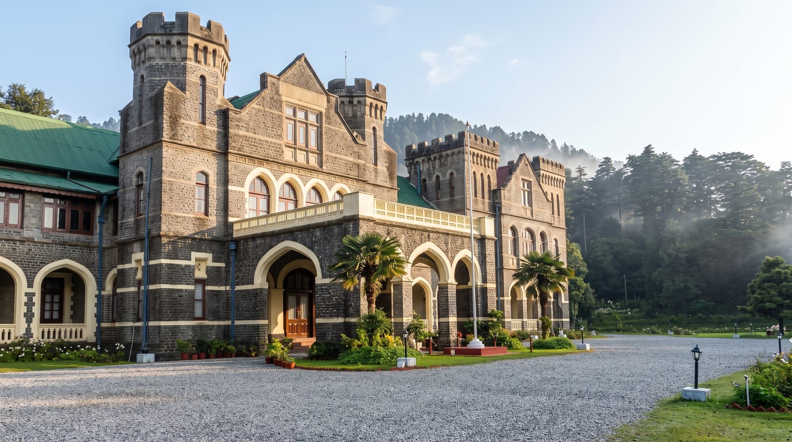
AI illustration
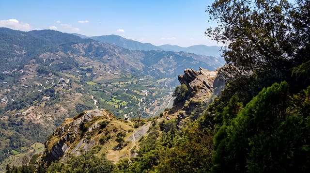
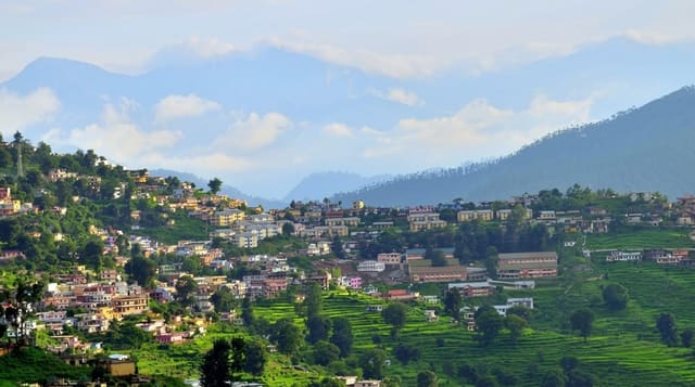
Nainital sits at about 1,940 metres around a natural lake roughly a kilometre long, and the name comes from the eye of the goddess Sati, which tradition says fell here; the Naina Devi temple stands at the northern end. The British developed it as a hill station from the 1840s and the shape of that period remains: the Mall along the water, a church, a boat club, colonial-era schools and hotels on the slopes. Flat-bottomed sailing boats work the lake, a cable car climbs to Snow View for a Himalayan panorama on clear days, and walking routes ring the ridge above.
History
The lake is held to be one of the 51 Shakti Peeths, where a part of the goddess Sati's body fell to earth. After the Katyuri dynasty fell in the 10th century the region around Nainital was held by branches of a Khasiya family until the Chand dynasty consolidated Kumaon; the hills came under British rule after the Anglo-Nepalese War of 1814-16, and the hill station was founded in 1841, when P. Barron, a sugar trader from Shahjahanpur, built the first European house, Pilgrim Lodge (Wikipedia, Nainital).
What to look for
- The lake - the eye-shaped water with sailing boats and the Mall alongside.
- Naina Devi temple - the shrine at the lake's northern end.
- Snow View - the cable car viewpoint over the Himalayan range.
- The colonial town - church, boat club and hill-station architecture.
When to go
March to June and September to November; the monsoon brings landslides and the high season crowds in May and June are heavy. Winter is cold with occasional snow and very quiet.
What to expect
Summer holiday crowds and traffic congestion are severe, and parking is a real problem. The Himalayan view from Snow View depends on clear weather and often fails. The lake has water quality issues.
Nearby
Bhimtal and Sattal lie south; Binsar is north.
Key facts
Source: Wikidata, item Q773213, read on 18 October 2026.
What to pack for Nainital
Chosen from what this place is for. Tap a kit for the full checklist.
- Warm base layers - Merino or synthetic against the skin - never cotton, which chills when damp. Find on Amazon
- Strong insect repellent - DEET or picaridin; the jungle is where bites and disease risk are highest. Find on Amazon
- Comfortable walking shoes - Sightseeing means kilometres of pavement and cobbles daily. Find on Amazon
- Modest clothing - Shoulders and knees covered - the single most common requirement. Find on Amazon
Some links on this page are Amazon affiliate links - if you buy through them we may earn a small commission at no extra cost to you.
All packing kitsPlan your trip
Where to start if Nainital is going on the list.
Booking links on this page are affiliate links - if you book through them we may earn a small commission at no extra cost to you. It never changes what we write about a place.
Opening times, ticket prices and seasonal closures change - check the official source before you go: official site.