Baratang Island
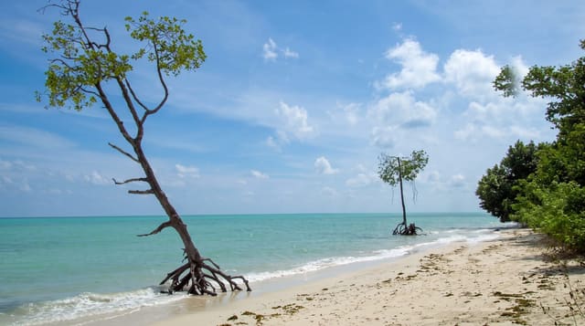
Limestone caves reached through mangrove creeks, and mud volcanoes that push out cold grey slurry.
Updated 19 October 2026
AI illustration
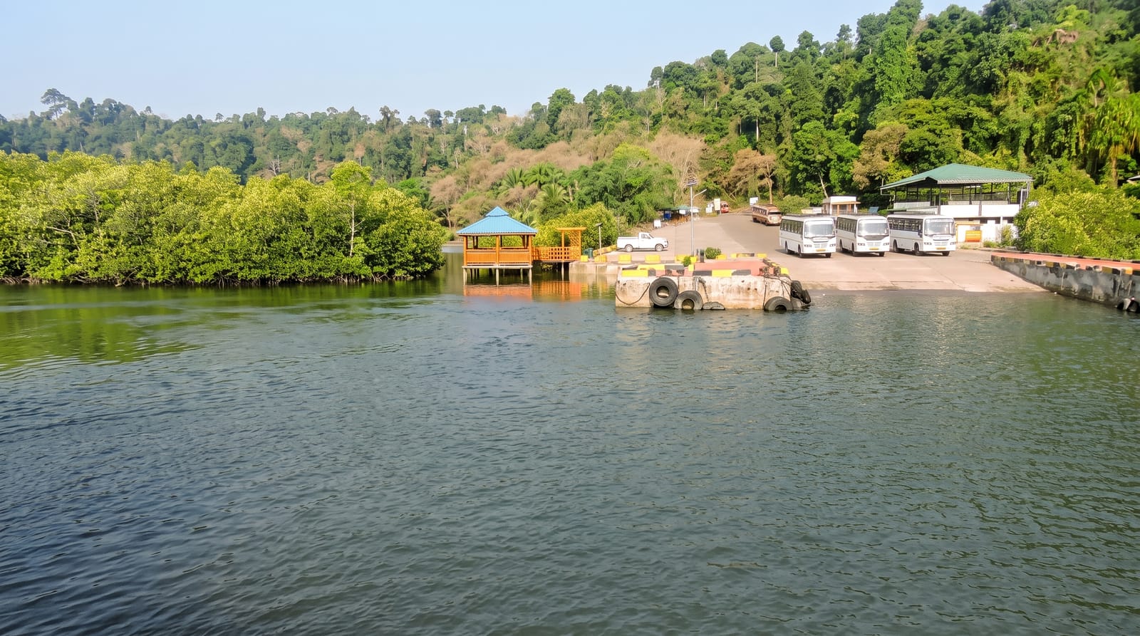
Baratang lies between South and Middle Andaman, and reaching it involves two distinctive stages: a road that runs through the Jarawa tribal reserve, travelled only in timed convoys under rules that prohibit stopping, photographing or interacting with the Jarawa in any way, and then a boat through mangrove creeks to a jetty. From there a boardwalk leads to limestone caves with stalactite and flowstone formations. Elsewhere on the island, mud volcanoes push out cold grey mud from small cones, driven by gas rather than heat, forming low bubbling mounds a metre or two across.
History
The name comes from an Andamanese word linked to the bara tree, meaning "locality of our type of speech", and excavations at Hava Beel Cave and the shell midden at Wot-a-emi show people living on the island by at least 420 CE. The island is also called Ranchiwalas, after people from Ranchi who came here late in the 19th century, and a lighthouse at the eastern entrance to the Andaman strait was commissioned in 1985 (Wikipedia, Baratang Island).
What you'll find
- The mangrove creeks - narrow water channels through dense tidal forest.
- The limestone caves - stalactites and flowstone reached by boardwalk.
- The mud volcanoes - small cones pushing out cold grey slurry.
- The convoy road - the timed route through the reserve.
When to go
November to April; the monsoon closes boats and makes the road difficult. Convoys leave Port Blair very early, so the day starts before dawn and runs long.
What to expect
The road passes through the Jarawa reserve where photographing or contacting the community is illegal and seriously harmful; this is enforced. Convoy timings are rigid. The mud volcanoes are small and underwhelm many visitors.
Nearby
Rangat lies north; Port Blair is south.
Key facts
Source: Wikidata, item Q2338592, read on 18 October 2026.
What to pack for Baratang Island
Chosen from what this place is for. Tap a kit for the full checklist.
- Reef-safe sunscreen - High SPF that will not bleach the coral you are swimming over. Find on Amazon
- Head torch + spare batteries - Hands-free light is essential; caves are truly dark. Find on Amazon
- Strong insect repellent - DEET or picaridin; the jungle is where bites and disease risk are highest. Find on Amazon
- Quick-dry towel - A microfibre towel packs small and dries in minutes. Find on Amazon
Some links on this page are Amazon affiliate links - if you buy through them we may earn a small commission at no extra cost to you.
All packing kitsPlan your trip
Where to start if Baratang Island is going on the list.
Booking links on this page are affiliate links - if you book through them we may earn a small commission at no extra cost to you. It never changes what we write about a place.
Opening times, ticket prices and seasonal closures change - check the official source before you go: official site.