Essequibo River
Guyana's great river - kilometres wide with forested islands, colonial fort ruins and river lodges reached only by boat.
Updated 19 October 2026
AI illustration
Real photos (1)
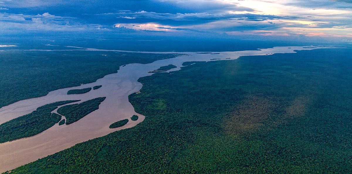
The Essequibo is one of South America's major rivers and, near its mouth, so wide that the far bank disappears - a brown expanse scattered with forested islands, some of them larger than several Caribbean nations. Boats leave Parika for Bartica, the frontier town where the gold and diamond routes into the interior begin, passing the ruins of a Dutch fort on Fort Island and the old Kyk-Over-Al outpost. Upriver lie rapids, river lodges built into rainforest, and the sense that the road network has simply run out and the water has taken over as the way through the country.
History
The first Europeans to see the river came with Juan de Esquivel, deputy of Diego Columbus, in 1498, and it is named after him; Alonso de Ojeda called it Río Dulce, "sweet river". In 1596 Lawrence Kemys of Walter Raleigh's expedition led a party up the Essequibo, the Dutch built the first European settlement in Guyana on its lower course in 1615 and founded the colony of Essequibo in 1616, planting sugarcane and tobacco along the river on friendly terms with the local peoples, and in 1814 they ceded the territory to Britain (Wikipedia, Essequibo River).
What's there
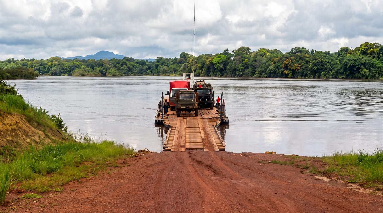
- The river crossing - the boat run from Parika through the island channels.
- Fort Island - Dutch colonial fort and court-of-policy ruins.
- Bartica - the mining frontier town at the confluence.
- River lodges and rapids - rainforest stays upstream from Bartica.
When to go
Guyana has two dry seasons, roughly February to April and September to November, which give the easiest boat travel and lower rainfall. The rainy periods raise the river and make travel wetter but not impossible. Heat and humidity are constant.
What to expect
Speedboats on the river are fast, open and often crowded - life jackets are not always offered and worth insisting on. Bartica is a working mining town rather than a resort; it has a rough edge in places. Lodges upriver require pre-booking with transfers arranged, as there is no turn-up option. Biting insects are heavy at dawn and dusk.
Nearby
Parika and Georgetown downstream, Kaieteur Falls by air and the interior routes from Bartica.
Key facts
Source: Wikidata, item Q589911, read on 18 October 2026.
What to pack for Essequibo River
Chosen from what this place is for. Tap a kit for the full checklist.
- Reef-safe sunscreen - High SPF that will not bleach the coral you are swimming over. Find on Amazon
- Strong insect repellent - DEET or picaridin; the jungle is where bites and disease risk are highest. Find on Amazon
- Shelter suited to the place - Tent, tarp or hut booking - match it to the terrain and rules. Find on Amazon
- Quick-dry towel - A microfibre towel packs small and dries in minutes. Find on Amazon
Some links on this page are Amazon affiliate links - if you buy through them we may earn a small commission at no extra cost to you.
All packing kitsPlan your trip
Where to start if Essequibo River is going on the list.
Booking links on this page are affiliate links - if you book through them we may earn a small commission at no extra cost to you. It never changes what we write about a place.
Opening times, ticket prices and seasonal closures change - check the official source before you go: official site.