Methana
A volcanic peninsula of thirty-two lava domes and sulphur springs, joined to the Peloponnese by a strip of land two hundred metres wide.
Updated 19 October 2026
AI illustration
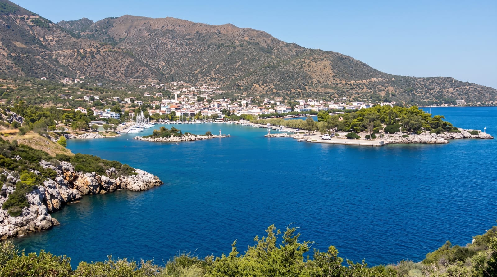
Methana belongs to the South Aegean volcanic arc and its last eruption, recorded by ancient writers around 230 BC, produced the black lava flow at Kameni Chora that still looks freshly cooled. Some thirty-two volcanic domes make up the peninsula, the highest reaching 740 metres, and a marked path climbs from Kameni Chora village into the crater of the youngest one, a walk of about forty minutes over sharp black rock with the Saronic Gulf spread below. Sulphurous springs emerge along the coast, and the town of Methana grew as a spa in the nineteenth century around baths still in use; the smell announces the place before the road does. Elsewhere the peninsula is green with pine and olive, with tiny fishing hamlets, a monastery and roads that see almost no traffic.
History
The earliest known settlement, near Vathy, dates from 1500-1300 BC, and the name may appear as m-dj-n-ij in the "Aegean List" of the temple of Amenhotep III in Egypt, of the 14th century BCE; the University of Liverpool identified many ancient sites in a survey in the 1980s. In antiquity Methana belonged to the territory of Troezen, and Thucydides tells how an Athenian force under Nicias walled off the peninsula after defeating Corinth in 425 BC (Wikipedia, Methana).
The landscape
- The Kameni Chora lava field - black rock from the eruption of around 230 BC.
- The crater walk - a marked path into the youngest volcanic dome.
- The sulphur springs - thermal baths on the shore at Methana town.
- The quiet coast road - a loop past hamlets, olive terraces and the monastery.
When to go
Spring and autumn for hiking the domes; the black rock traps heat and midsummer walking is unpleasant. The spa operates on a seasonal schedule.
What to expect
The sulphur smell around the town is strong and constant. The spa buildings are dated. Trails on the lava are rough and cut footwear, and there is no shade at all on the crater route. A car makes the peninsula workable.
Nearby
Poros lies across a narrow strait; Epidaurus and the Argolid are an hour southwest by road.
What to pack for Methana
Chosen from what this place is for. Tap a kit for the full checklist.
- Broken-in walking shoes or boots - Grip and ankle support matter more than looks; never hike in brand-new boots. Find on Amazon
- Travel rod + reel - A packable multi-piece rod fits in a case and covers most holiday fishing. Find on Amazon
- Modest clothing - Shoulders and knees covered - the single most common requirement. Find on Amazon
- Swimwear - Needed at most public thermal pools; some traditional baths are nude and single-sex. Find on Amazon
Some links on this page are Amazon affiliate links - if you buy through them we may earn a small commission at no extra cost to you.
All packing kitsPlan your trip
Where to start if Methana is going on the list.
Booking links on this page are affiliate links - if you book through them we may earn a small commission at no extra cost to you. It never changes what we write about a place.
Opening times, ticket prices and seasonal closures change - check the official source before you go: official site.