Ammouliani
The only inhabited island in Halkidiki, a short ferry from the mainland, with sandy beaches facing Mount Athos.
Updated 19 October 2026
AI illustration
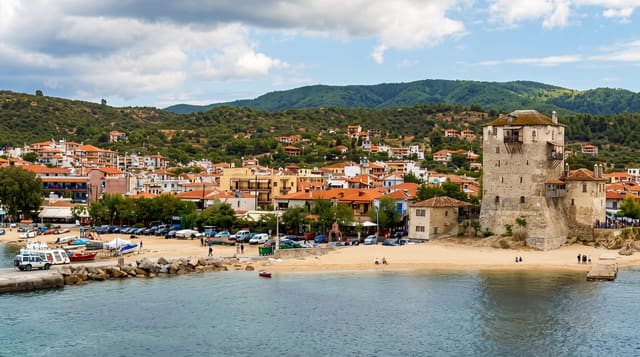
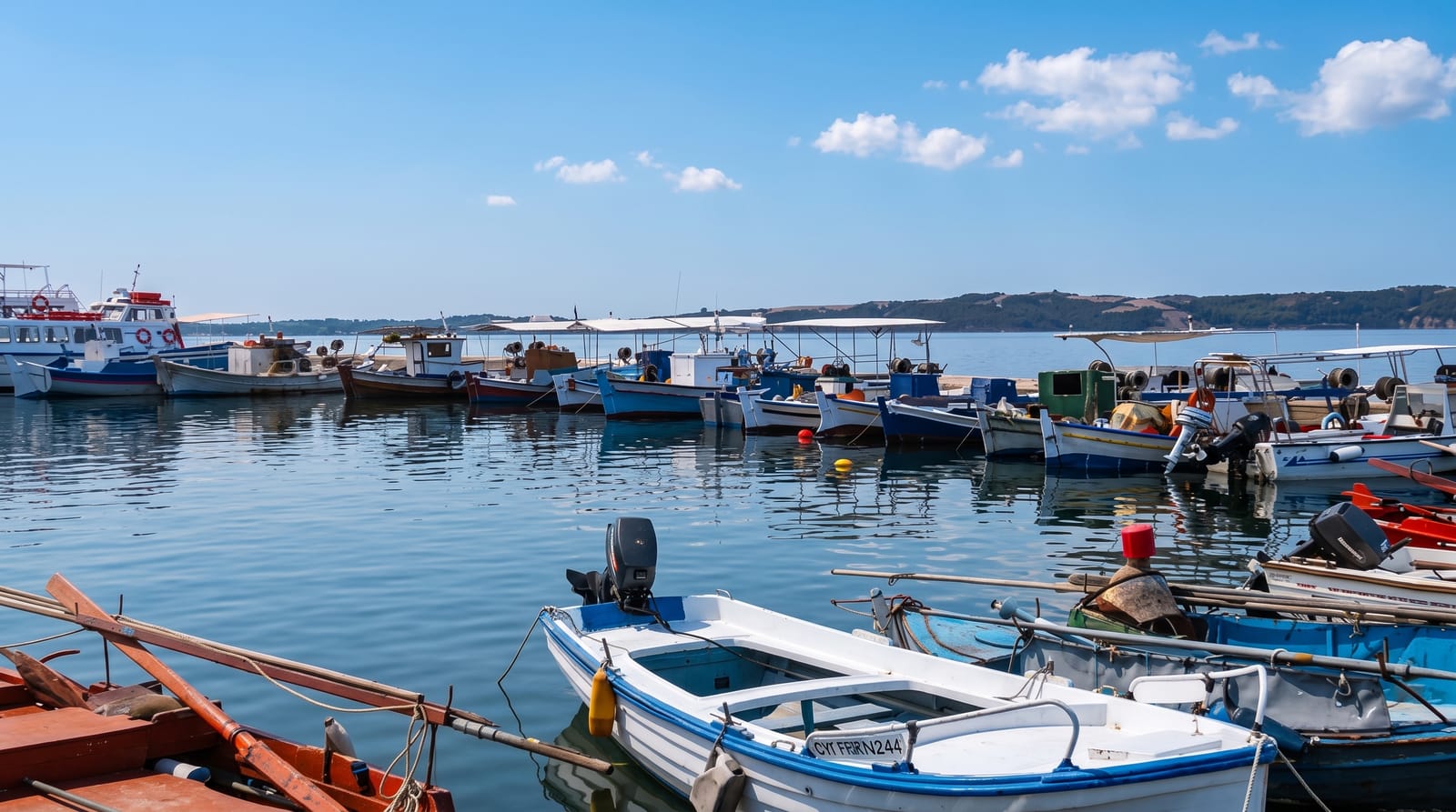
Ammouliani covers about four square kilometres off the eastern Halkidiki coast, settled in the 1920s on what had been an estate of Vatopedi Monastery on Mount Athos; the village keeps a working fishing fleet alongside guesthouses and tavernas. Its beaches are the draw: Alykes with fine sand and shallow water, Megali Ammos facing the mainland, and Karagatsia looking across to Athos. Small boats run from the harbour to the Drenia islets, a scatter of uninhabited rocks with sandbanks and water so clear and shallow that they are often called the Greek Maldives, where a single seasonal taverna operates on the largest islet. The island is flat enough to cycle and small enough to walk across in an hour.
History
Until the early 1900s Ammouliani was a dependency of Vatopedi Monastery on Mount Athos; the island was settled in 1925, its population grew quickly to over 500 residents, and it has become a tourist destination with frequent boats from the mainland (Wikipedia, Ammouliani).
The landscape
- Alykes beach - fine sand and shallow water on the northern shore.
- The Drenia islets - uninhabited sandbanks reached by small boat.
- The fishing harbour - the working village port and its tavernas.
- The Athos horizon - the holy mountain across the water to the east.
When to go
May, June and September for space and warm sea; August fills the island with Greek families and the ferry queues lengthen. Out of season most guesthouses close.
Before you go
The island is small and quiet, with no sights beyond beaches and boats. Ferry timetables shrink outside summer. The Drenia trips are weather-dependent, and the islets have almost no shade.
Nearby
Ouranoupoli and the Athos boundary lie opposite; Sithonia is an hour west by road.
Key facts
Source: Wikidata, item Q25154873, read on 18 October 2026.
What to pack for Ammouliani
Chosen from what this place is for. Tap a kit for the full checklist.
- Travel rod + reel - A packable multi-piece rod fits in a case and covers most holiday fishing. Find on Amazon
- Reef-safe sunscreen - High SPF that will not bleach the coral you are swimming over. Find on Amazon
- Modest clothing - Shoulders and knees covered - the single most common requirement. Find on Amazon
- A small tackle selection - Hooks, weights, line and a few lures or flies suited to local waters. Find on Amazon
Some links on this page are Amazon affiliate links - if you buy through them we may earn a small commission at no extra cost to you.
All packing kitsPlan your trip
Where to start if Ammouliani is going on the list.
Booking links on this page are affiliate links - if you book through them we may earn a small commission at no extra cost to you. It never changes what we write about a place.
Opening times, ticket prices and seasonal closures change - check the official source before you go: official site.