Nzulezo
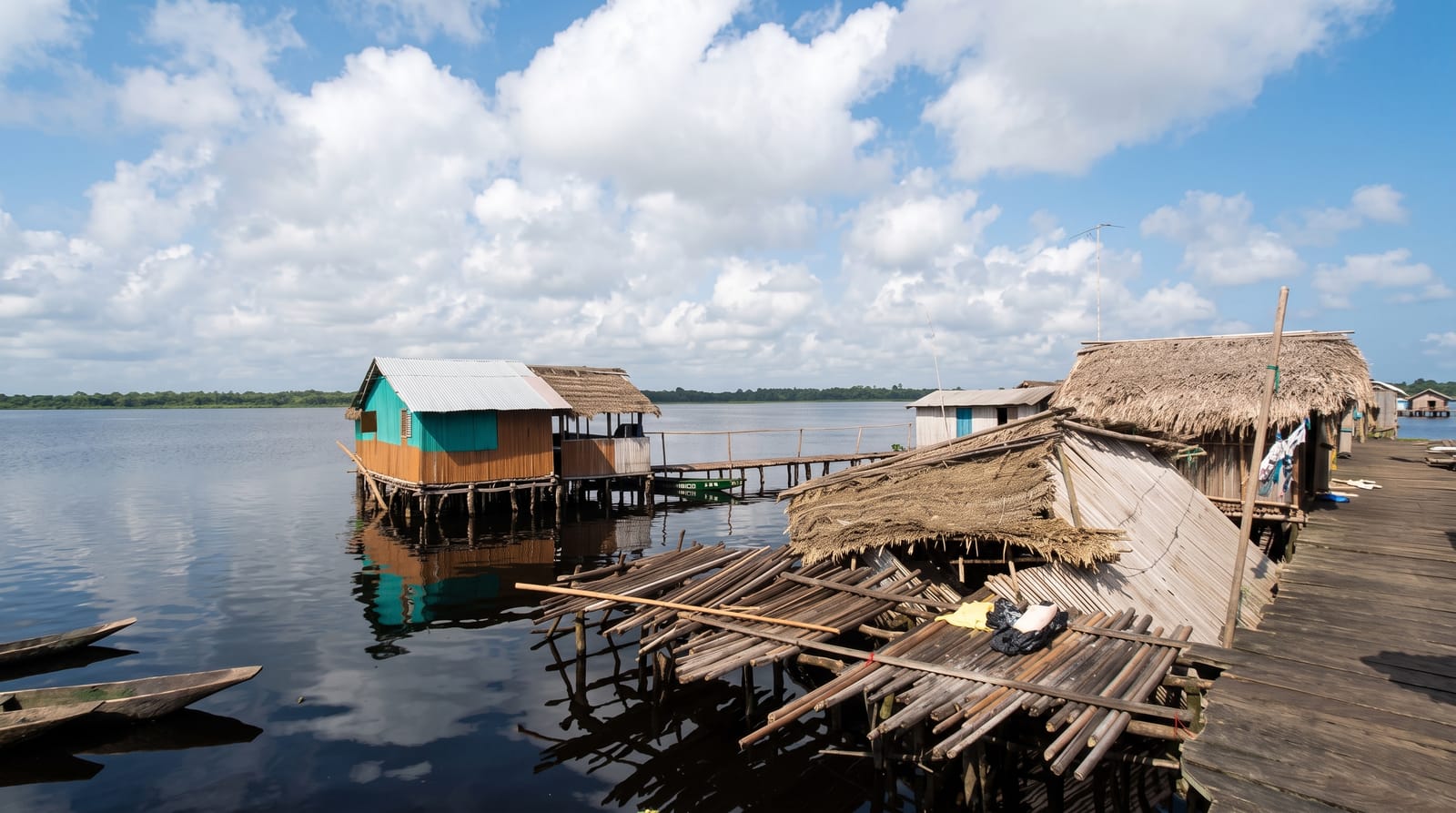
A village built entirely on stilts over a lagoon in the far south-west - reached by an hour's canoe through reed channels.
Updated 19 October 2026
AI illustration
Nzulezo stands on stilts above Lake Tadane in Ghana's far south-west, a village of raised wooden walkways and houses reached only by dugout canoe through an hour of reed channels and swamp forest. Around five hundred people live here, with a school, a church and shops all built above the water, and oral tradition holds that their ancestors were led to the site by a snail deity after migrating from Oualata, a city of the ancient Ghana Empire in what is now Mauritania. The canoe journey through the Amansuri wetland is half the experience, gliding under raffia palms with kingfishers overhead, before the village appears standing on its posts.
History
The name Nzulezo means "water surface" in the Nzema language, and by local legend the village was built by people from Oualata, a city of the ancient Ghana Empire in present-day Mauritania, who came here following a snail. It was built over Lake Tadane for protection in times of war, five miles inland from the coast, and in 2000 it was put forward for UNESCO listing (Wikipedia, Nzulezo).
What you'll find
- The stilt village - the main walkway and houses raised above the lagoon.
- The canoe journey - an hour through reed channels and swamp forest.
- The Amansuri wetland - one of the best-preserved swamp forests in Ghana.
- Community life - the school, church and shops built on the water.
When to go
The dry season from November to March gives easier road access to Beyin and calmer water. Water levels are higher after the rains, which makes canoeing easier but the road worse. Mornings are cooler for the paddle.
Before you go
This is a living village, not an attraction - residents have mixed feelings about visitors, and the community fee, guide and respectful behaviour matter. Photography of people requires asking. The canoe trip is long and seats are hard wooden benches; bring water and sun cover. Access from Accra is a long drive, so it usually pairs with a night on the Western coast at Busua or Axim.
Nearby
Beyin's Fort Apollonia, Axim and the beaches of the Western coast.
Key facts
Source: Wikidata, item Q924568, read on 18 October 2026.
What to pack for Nzulezo
Chosen from what this place is for. Tap a kit for the full checklist.
- Reef-safe sunscreen - High SPF that will not bleach the coral you are swimming over. Find on Amazon
- Quick-dry clothing - Board shorts or synthetics that shrug off spray and dry fast. Find on Amazon
- Comfortable walking shoes - Sightseeing means kilometres of pavement and cobbles daily. Find on Amazon
- Quick-dry towel - A microfibre towel packs small and dries in minutes. Find on Amazon
Some links on this page are Amazon affiliate links - if you buy through them we may earn a small commission at no extra cost to you.
All packing kitsPlan your trip
Where to start if Nzulezo is going on the list.
Booking links on this page are affiliate links - if you book through them we may earn a small commission at no extra cost to you. It never changes what we write about a place.
Opening times, ticket prices and seasonal closures change - check the official source before you go: official site.


