Upper Danube Valley
A limestone canyon cut by the young Danube, where the river disappears underground for part of the year.
Updated 4 September 2026
AI illustration
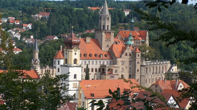
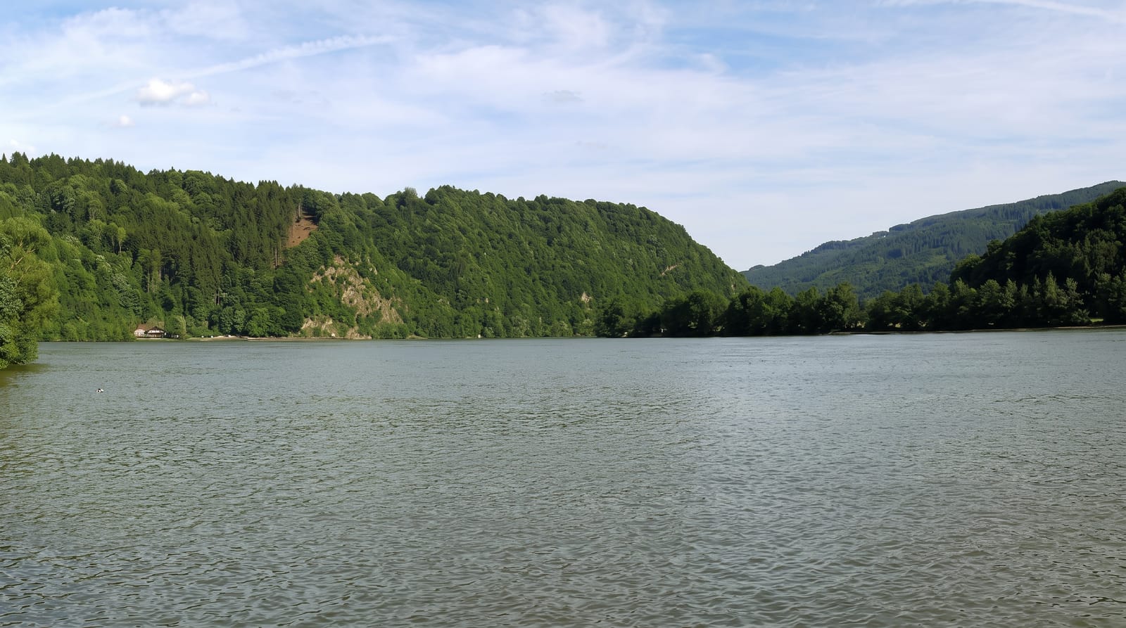
Between Tuttlingen and Sigmaringen the Danube, still small here, runs through a canyon of white Jurassic limestone with crags and towers standing above the meadows, and castles on many of them. At the Donauversickerung near Immendingen, the riverbed is fissured and much or all of the water sinks into the rock; in dry periods the surface flow stops entirely for weeks. The water reappears about twelve kilometres south at the Aachtopf, which drains to Lake Constance and so to the Rhine, meaning part of the young Danube ends up in the North Sea rather than the Black Sea. Beuron abbey sits in the valley.
What you'll find
- The sinking river - a Danube bed that goes dry in low water.
- The Aachtopf link - water reappearing on the Rhine side of the divide.
- The limestone crags - white towers above meadows with castles on them.
- Beuron abbey - a Benedictine house in the middle of the valley.
When to go
April to October; the sinking is most complete in late summer and autumn dry spells, when the bed can be walked. Spring high water hides the effect entirely.
Things to know
The dry riverbed is a seasonal phenomenon and absent in wet periods. Public transport in the valley is limited. Castles are mostly private or ruined.
Nearby
Sigmaringen lies downstream; the Danube's source is west.
What to pack for Upper Danube Valley
Chosen from what this place is for. Tap a kit for the full checklist.
- Broken-in walking shoes or boots - Grip and ankle support matter more than looks; never hike in brand-new boots. Find on Amazon
- Head torch + spare batteries - Hands-free light is essential; caves are truly dark. Find on Amazon
- Layers + a waterproof shell - Mountain weather turns fast; a packable rain jacket saves the day. Find on Amazon
- Grippy closed shoes - Cave floors are wet, muddy and slick with formations. Find on Amazon
Some links on this page are Amazon affiliate links - if you buy through them we may earn a small commission at no extra cost to you.
All packing kitsPlan your trip
Where to start if Upper Danube Valley is going on the list.
Booking links on this page are affiliate links - if you book through them we may earn a small commission at no extra cost to you. It never changes what we write about a place.
Opening times, ticket prices and seasonal closures change - check the official source before you go: official site.