Saar Loop
A river that doubles back on itself around a wooded spur, seen from a treetop walk built above it.
Updated 19 October 2026
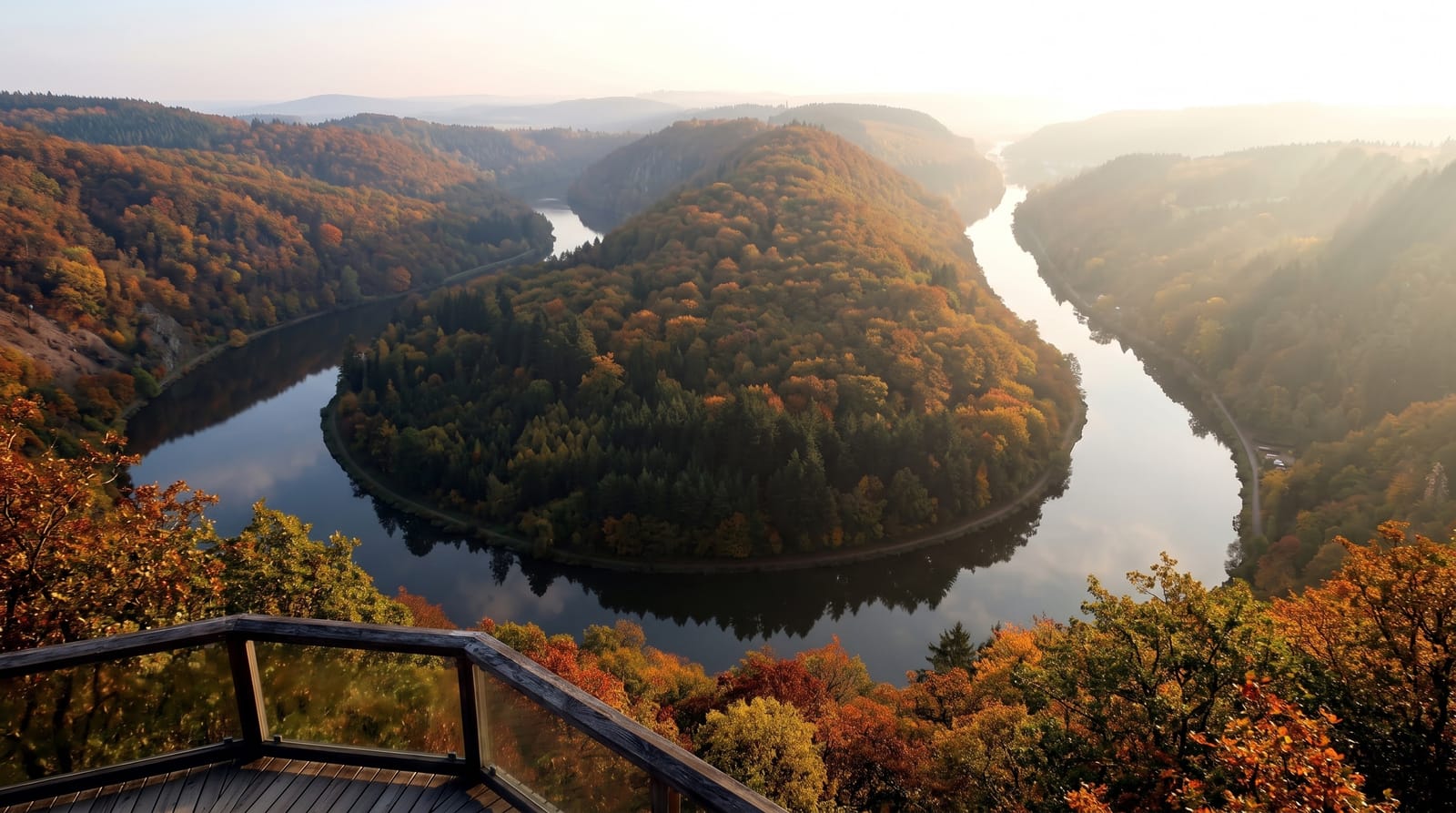
AI illustration
The Saar meets a hard quartzite ridge here and, unable to cut through it directly, loops almost back on itself around a wooded spur, a bend cut deeper as the land rose so that the river is now entrenched some two hundred metres below the surrounding plateau. The classic view is from the Cloef viewpoint above Orscholz. In 2016 a treetop walk was built nearby, a ramped walkway rising through the forest to a tower with a viewing platform, designed to be accessible by wheelchair and pushchair the whole way. A boat trip from Mettlach passes through the loop at water level.
History
The spur inside the loop drew Celtic settlers, who built a protective wall two kilometres east of the later castle and probably used it as a refuge, and traces of Romans have been found on the escarpment; around 1000 AD a noble family from the Ardennes built Skiva Castle here, constantly at odds with their overlords, the archbishops of Trier. In 1180 Archbishop Arnold I of Trier allowed a new castle, Montclair, "bright mountain", finished in 1190; it later passed to the Duchy of Lorraine and was wrecked in a conflict with Trier in 1351, after which the von Sierck family built a smaller castle on the site (Wikipedia, Saarschleife).
What you'll find
- The entrenched meander - a river doubling back around a wooded spur.
- The Cloef viewpoint - the standard vantage above Orscholz.
- The treetop walk - a ramped walkway and tower accessible throughout.
- The boat trip - the loop seen from water level from Mettlach.
When to go
April to October; autumn colour on the spur is the best time for the view. The treetop walk operates year-round and closes in storms. Boats are seasonal.
What to expect
The viewpoint is a short visit. The treetop walk is ticketed separately and busy on weekends. Boat trips depend on water levels.
Nearby
Trier lies northwest; the Völklingen ironworks are east.
Key facts
Source: Wikidata, item Q452165, read on 18 October 2026.
What to pack for Saar Loop
Chosen from what this place is for. Tap a kit for the full checklist.
- Broken-in walking shoes or boots - Grip and ankle support matter more than looks; never hike in brand-new boots. Find on Amazon
- Layers + a waterproof shell - Mountain weather turns fast; a packable rain jacket saves the day. Find on Amazon
- Daypack with rain cover - 20-30 litres holds water, snacks, layers and a first-aid kit. Find on Amazon
- Offline maps + a power bank - Download the trail before you lose signal; carry backup charge. Find on Amazon
Some links on this page are Amazon affiliate links - if you buy through them we may earn a small commission at no extra cost to you.
All packing kitsPlan your trip
Where to start if Saar Loop is going on the list.
Booking links on this page are affiliate links - if you book through them we may earn a small commission at no extra cost to you. It never changes what we write about a place.
Opening times, ticket prices and seasonal closures change - check the official source before you go: official site.