Cirque du Fer-a-Cheval
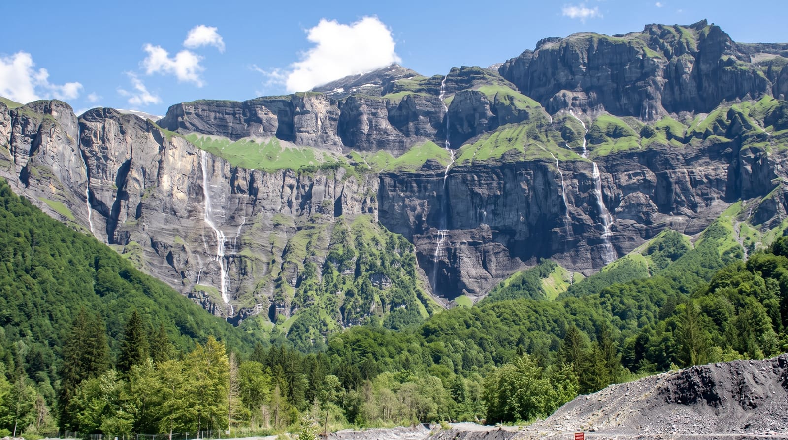
A four-kilometre wall of limestone cliffs carrying dozens of waterfalls when the snow melts.
Updated 4 September 2026
AI illustration
The cirque closes the head of the Giffre valley in an arc of limestone walls running about four to five kilometres, with cliffs rising between five hundred and seven hundred metres and summits above them reaching towards three thousand. In late spring and early summer, snowmelt sends water over the rim in dozens of separate falls at once, sometimes counted at thirty or more; by late August most have dried and the wall is bare rock. A level track runs up the valley floor to the Bout du Monde, the end of the road in every sense, where the Giffre emerges. Ibex and chamois live on the slopes.
Highlights
- The cliff arc - a four-kilometre wall of limestone closing the valley.
- The melt waterfalls - dozens of falls at once in late spring.
- The Bout du Monde - the valley head where the track ends.
- The wildlife - ibex and chamois on the walls above.
When to go
May and June for the maximum number of waterfalls; by late summer most have stopped. The valley track is easy walking. The road closes in winter and avalanche risk is real.
Practical notes
Visitors arriving in August often find a fraction of the waterfalls photographs promise. Parking is charged and fills at weekends. The valley walk is long and level but exposed to sun.
Nearby
Samoens lies west; the Swiss border is over the ridge.
Key facts
Source: Wikidata, item Q2974276, read on 18 October 2026.
What to pack for Cirque du Fer-a-Cheval
Chosen from what this place is for. Tap a kit for the full checklist.
- Broken-in walking shoes or boots - Grip and ankle support matter more than looks; never hike in brand-new boots. Find on Amazon
- Binoculars - The single best wildlife tool - even a compact pair transforms a sighting. Find on Amazon
- Warm base layers - Merino or synthetic against the skin - never cotton, which chills when damp. Find on Amazon
- Layers + a waterproof shell - Mountain weather turns fast; a packable rain jacket saves the day. Find on Amazon
Some links on this page are Amazon affiliate links - if you buy through them we may earn a small commission at no extra cost to you.
All packing kitsPlan your trip
Where to start if Cirque du Fer-a-Cheval is going on the list.
Booking links on this page are affiliate links - if you book through them we may earn a small commission at no extra cost to you. It never changes what we write about a place.
Opening times, ticket prices and seasonal closures change - check the official source before you go: official site.