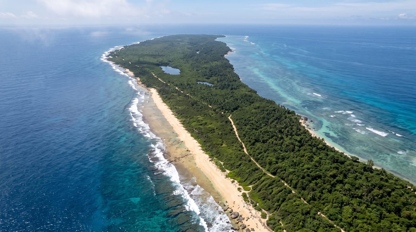
Osmussaar Island
A low limestone island off the northwest coast with cliffs, meteorite breccia and an abandoned Swedish village.
Updated 21 October 2026
Osmussaar lies off the northwest tip of the Estonian mainland, a low island of about five square kilometres with limestone cliffs on the northern side and shingle and boulder shores elsewhere, part of the Baltic klint. Its geology includes Neugrund breccia, rock shattered by a meteorite impact in the Cambrian and thrown up here, exposed in the cliff. A Swedish-speaking community farmed the island from the medieval period; its village and church now stand in ruins, and gun emplacements and observation towers remain in the scrub. Nature protection now covers the whole island, and only two people live there permanently.
History
Estonian Swedes lived on Osmussaar continuously from at least the 14th century, and perhaps people were already there in the Viking Age, though little is known of the island's history before the 18th century; according to local stories the plague of 1710 left only a few people alive. The first lighthouse was built on the northern coast in 1765 and replaced in 1850, and the present lighthouse was completed in 1954. The island's population was at its highest in the early 1930s: the census of 1934 counted 131 people, all Swedes except the lighthouse keeper and his family. Today the whole island is a nature reserve (Wikipedia, Osmussaar).
The landscape
- The limestone cliffs - the klint face on the northern shore.
- Meteorite breccia - the shattered rock thrown up by the Neugrund impact.
- The abandoned village - the ruined Swedish settlement and church.
- Military remains - the emplacements and towers in the scrub.
When to go
June to August, when boats run from Dirhami; there is no service outside the season and crossings cancel in wind. Bird migration in spring and autumn is notable but access is harder then.
Good to know
Boat crossings depend entirely on sea conditions and cancel often. There are no facilities, shelter or water on the island. Nature protection restricts movement in parts during the bird breeding season. Landing is on a rough jetty.
Nearby
Dirhami is the mainland harbour; Noarootsi lies south.
Key facts
Source: Wikidata, item Q648860, read on 18 October 2026.
What to pack for Osmussaar Island
Chosen from what this place is for. Tap a kit for the full checklist.
- Reef-safe sunscreen - High SPF that will not bleach the coral you are swimming over. Find on Amazon
- Quick-dry towel - A microfibre towel packs small and dries in minutes. Find on Amazon
- Water shoes - Protect your feet on rocky entries, hot sand and sea-urchin spines. Find on Amazon
- Dry bag - Keeps phone, cash and keys safe while you are in the water. Find on Amazon
Some links on this page are Amazon affiliate links - if you buy through them we may earn a small commission at no extra cost to you.
All packing kitsPlan your trip
Where to start if Osmussaar Island is going on the list.
Booking links on this page are affiliate links - if you book through them we may earn a small commission at no extra cost to you. It never changes what we write about a place.
Opening times, ticket prices and seasonal closures change - check the official source before you go: official site.