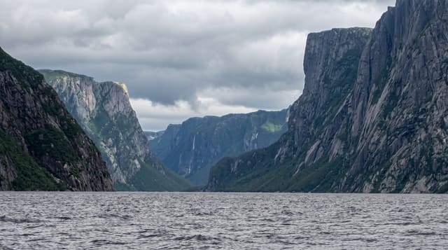
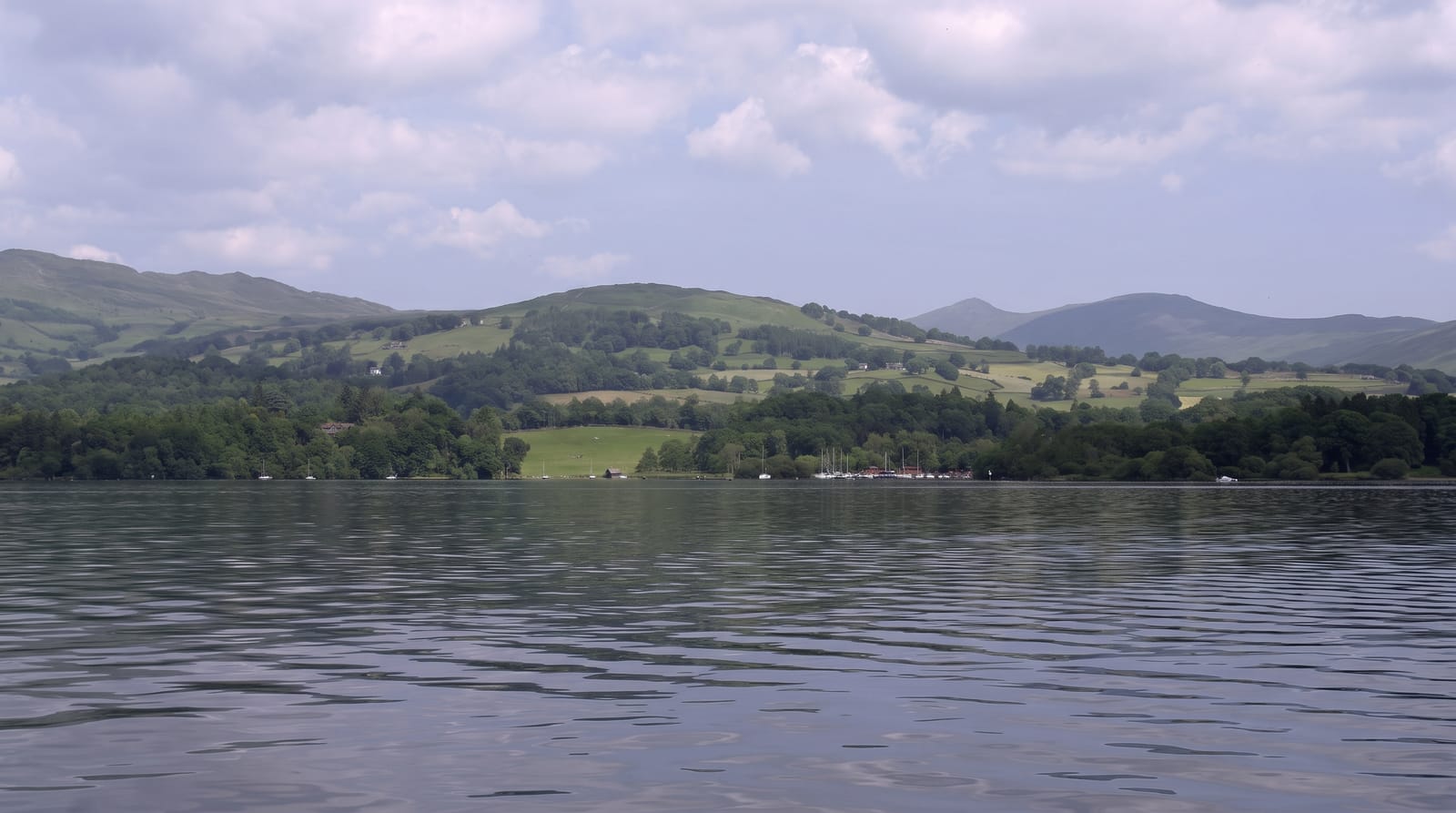
Lake Tanganyika at Kalemie
The Congolese shore of the world's second-deepest lake, with a port town and a long sandy beach on the western side.
Updated 1 September 2026
Tanganyika is the second-deepest lake on earth after Baikal and the longest freshwater lake anywhere, and Kalemie is the main Congolese port on it. The town sits where the Lukuga river drains out of the lake, with a long beach north of it and the Marungu hills rising behind. The water is clear and holds several hundred cichlid species found nowhere else, which is why aquarists know this lake even when travellers do not. Ferries work the shore between Congolese, Tanzanian, Burundian and Zambian ports.
What you'll find
- The lake - clear deep water stretching to a horizon with no far shore visible.
- The beach - a long stretch of sand north of the town, used by residents.
- The cichlids - several hundred endemic fish species, visible in the shallows with a mask.
- The port - lake ferries and cargo boats working the Tanganyika shore.
When to go
May to September is the dry season and the calmest on the lake. The wet months bring storms that can be violent on open water. Mornings are usually flat calm.
Things to know
Kalemie is remote and reached most practically by air, since overland routes are long and poor. Visitor facilities are minimal. Bilharzia is present in parts of the lake and local advice on where to swim should be taken seriously.
Nearby
The Marungu highlands rise inland, and Lake Mweru is far to the southwest.
What to pack for Lake Tanganyika at Kalemie
Chosen from what this place is for. Tap a kit for the full checklist.
- Reef-safe sunscreen - High SPF that will not bleach the coral you are swimming over. Find on Amazon
- Quick-dry towel - A microfibre towel packs small and dries in minutes. Find on Amazon
- Water shoes - Protect your feet on rocky entries, hot sand and sea-urchin spines. Find on Amazon
- Dry bag - Keeps phone, cash and keys safe while you are in the water. Find on Amazon
Some links on this page are Amazon affiliate links - if you buy through them we may earn a small commission at no extra cost to you.
All packing kitsPlan your trip
Where to start if Lake Tanganyika at Kalemie is going on the list.
Booking links on this page are affiliate links - if you book through them we may earn a small commission at no extra cost to you. It never changes what we write about a place.
Opening times, ticket prices and seasonal closures change - check the official source before you go: official site.