Hoyo de Pelempito
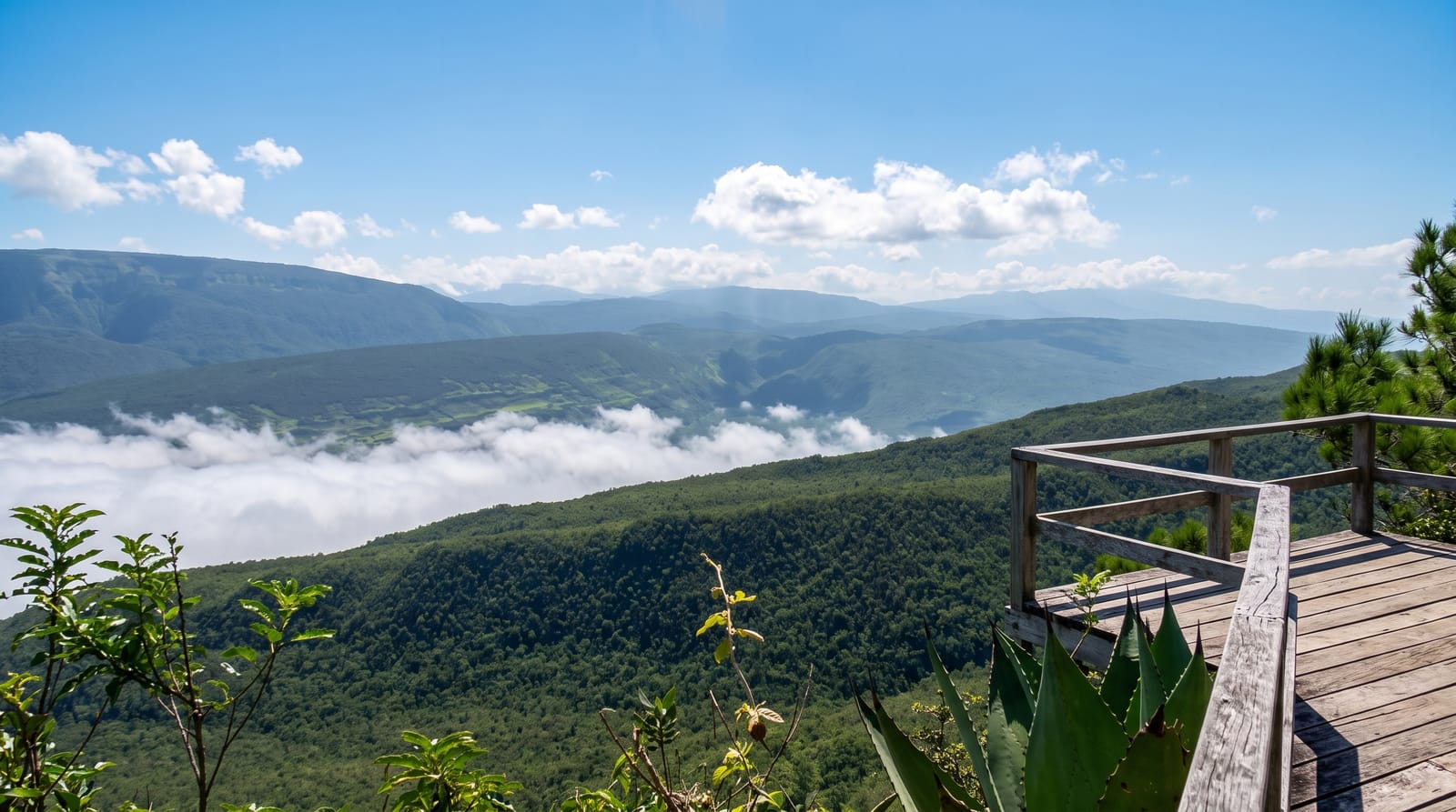
A viewing platform on the rim of a seven-hundred-metre geological depression in the Bahoruco range, where the temperature drops as you descend.
Updated 13 September 2026
AI illustration
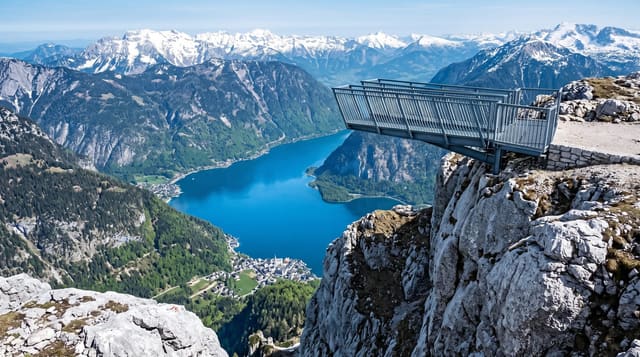
The Bahoruco range holds an enormous closed depression, its floor around seven hundred metres below the surrounding rim, and a platform built out from the edge at about one thousand four hundred metres looks straight down into it. The geology is unusual: the basin is a karst hollow rather than a valley, with no river out of it, and the air pools cold at the bottom so that temperatures there run markedly lower than on the rim above, producing an inverted arrangement of vegetation with pine and cloud forest species growing lower than they should. On a clear day the view runs to the Caribbean and across to Haiti. Endemic birds are common along the access track.
Highlights
- The platform - built out over a seven-hundred-metre drop.
- The inverted vegetation - cold-air species growing below warm ones.
- Endemic birds - along the pine forest track on the way up.
- The long view - the Caribbean and the border ranges on a clear day.
When to go
November to April is drier and the track passable; mornings are clearest before cloud fills the basin. It is genuinely cold at the rim, often fifteen degrees or less with wind, so bring a layer even coming from the coast.
What to expect
The road up from Pedernales is around two hours of rough track needing four-wheel drive, and the drive is most of the day's effort for a viewpoint and a short trail. Cloud frequently fills the basin and hides everything. There are no services on the way and no fuel. Facilities at the top are minimal.
Nearby
Bahía de las Águilas is on the coast below; Laguna de Oviedo is east.
What to pack for Hoyo de Pelempito
Chosen from what this place is for. Tap a kit for the full checklist.
- Broken-in walking shoes or boots - Grip and ankle support matter more than looks; never hike in brand-new boots. Find on Amazon
- Spare batteries + cards - Cold and long shoots drain power; never run out at the good light. Find on Amazon
- Layers + a waterproof shell - Mountain weather turns fast; a packable rain jacket saves the day. Find on Amazon
- A compact tripod - Essential for night skies, aurora, waterfalls and low light. Find on Amazon
Some links on this page are Amazon affiliate links - if you buy through them we may earn a small commission at no extra cost to you.
All packing kitsPlan your trip
Where to start if Hoyo de Pelempito is going on the list.
Booking links on this page are affiliate links - if you book through them we may earn a small commission at no extra cost to you. It never changes what we write about a place.
Opening times, ticket prices and seasonal closures change - check the official source before you go: official site.