Mols Bjerge National Park
A hilly moraine landscape on Djursland where ice-age ridges, grazed pasture and small sheltered coves meet the shallow water of Ebeltoft Bay.
Updated 29 October 2026
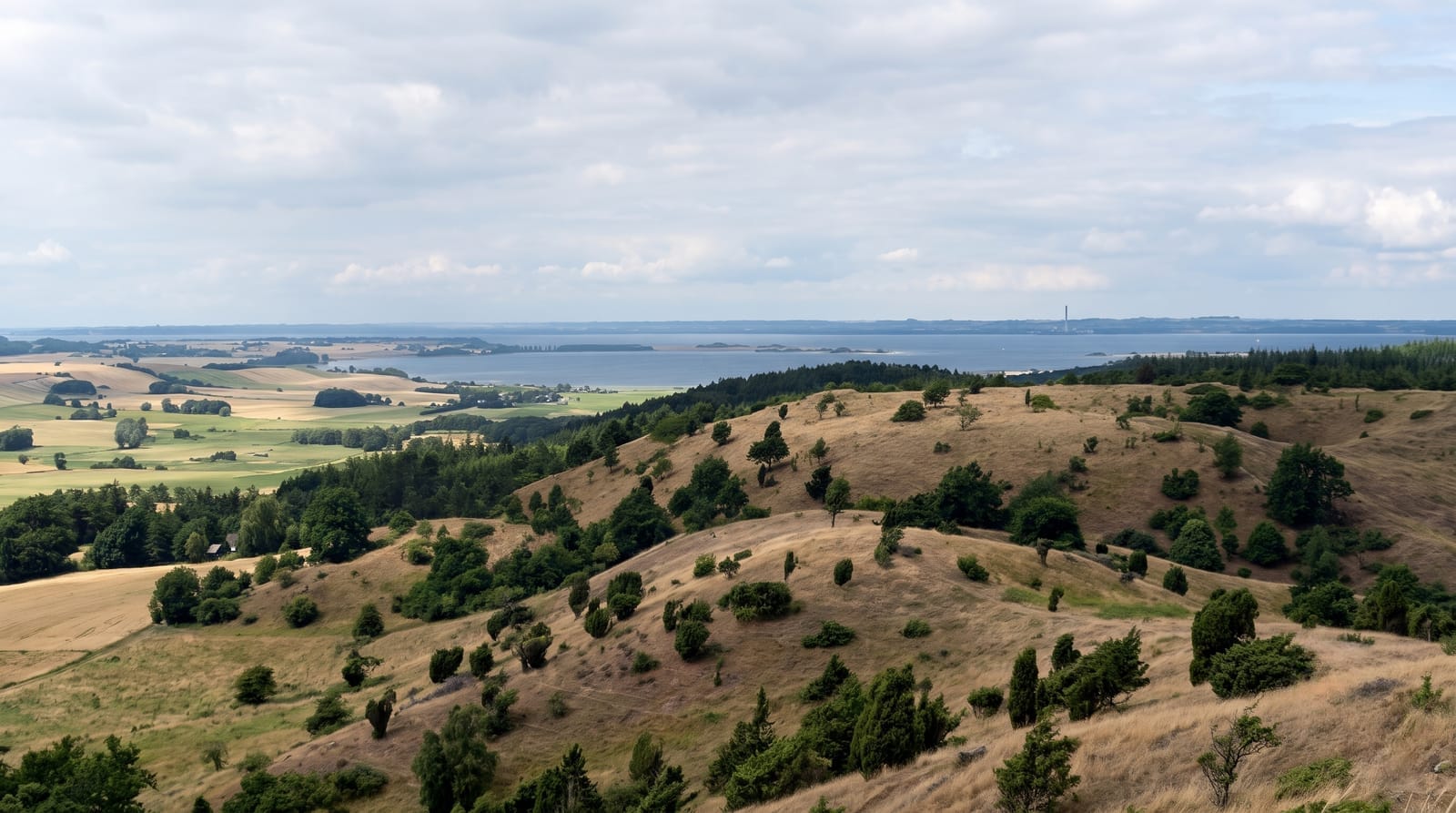
AI illustration
Mols Bjerge is a knot of hills left behind by the last ice sheet on the Djursland peninsula, protected as a national park since 2009. Nothing here is high, with Agri Bavnehoj reaching about 137 metres, but the ground folds and pitches unusually for Denmark, with juniper, dry grassland, oak scrub and grazed slopes between wooded hollows. The park runs down to the coast at Ebeltoft Bay, where shallow coves are warm enough to swim in by July, and inland past the medieval ruin of Kalo, reached on a long stone causeway across the water. Marked routes and gravel roads link the hamlets, and the views open out over the bay.
Background
Mols Bjerge National Park lies in Syddjurs Municipality in Central Jutland and covers 180 square kilometres; it was Denmark's second national park and was inaugurated by Queen Margrethe II on 29 August 2009. The Mols Hills, rising to 137 metres, take up 2,500 hectares at its centre, and over half of all wild Danish plant species grow in the park. About a third of the land, nearly 33%, is farmed, and 80% of the hill area belongs to private owners. The route to the ruins of Kalø Castle, built in the early 14th century, follows 500 metres of medieval road on a cobblestone embankment, and the clay for its bricks came from the coastal cliffs at Hestehave Wood.
Source: Wikipedia, "Mols Bjerge National Park"
Highlights
- Agri Bavnehoj - the high point, with a view across the hills and out over the bay.
- The Kalo ruin - a tower ruin on an islet, reached by a long stone causeway.
- The coves of Ebeltoft Bay - shallow, sheltered water and small pockets of sand.
- Grazed hill pasture - juniper, thyme and wildflowers on old commons kept open by cattle.
When to go
Late spring and summer for warm bay water and flowers on the dry slopes; September and October for clearer light and quiet trails. Ebeltoft fills with Danish holidaymakers in July, so weekdays are calmer. Winter walking works, but many seasonal services around the coast shut down entirely.
Good to know
The hills are modest by any standard outside Denmark, and anyone expecting mountains will be puzzled by the name. The good parts are spread out, so a car or a bicycle matters. Trails are not always signed once you leave the main routes, coastal parking fills in July, and the ground is fully exposed to the wind off the Kattegat.
Nearby
Ebeltoft's old town and the Kattegat coast are next door; Aarhus is about an hour away.
Key facts
Source: Wikidata, item Q4994368, read on 18 October 2026.
What to pack for Mols Bjerge National Park
Chosen from what this place is for. Tap a kit for the full checklist.
- Broken-in walking shoes or boots - Grip and ankle support matter more than looks; never hike in brand-new boots. Find on Amazon
- Padded shorts - The one thing that makes a full day in the saddle bearable. Find on Amazon
- Binoculars - The single best wildlife tool - even a compact pair transforms a sighting. Find on Amazon
- Warm base layers - Merino or synthetic against the skin - never cotton, which chills when damp. Find on Amazon
Some links on this page are Amazon affiliate links - if you buy through them we may earn a small commission at no extra cost to you.
All packing kitsPlan your trip
Where to start if Mols Bjerge National Park is going on the list.
Booking links on this page are affiliate links - if you book through them we may earn a small commission at no extra cost to you. It never changes what we write about a place.
Opening times, ticket prices and seasonal closures change - check the official source before you go: official site.