Elbe Spring
The marked source of a river that reaches Hamburg, on a bare Krkonose ridge, with a wall of painted coats of arms.
Updated 29 August 2026
The Labe, which becomes the Elbe, is marked as rising at about 1387 metres on the Labska louka, a broad open peat meadow on the Krkonose ridge near the Polish border. The actual water emerges over a wide area of bog rather than from one point, so the marked spring is a formal designation rather than a hydrological fact - a stone-ringed basin with a plaque - but it is the accepted source. Beside it stands a curved stone wall built in 1968 carrying the painted coats of arms of twenty-six towns and cities along the river's course from here to Hamburg, which is the thing people photograph. The ridge around it is arctic-alpine tundra, treeless, with peat bogs, dwarf pine and species left from the last glaciation, and it is a strict reserve zone with access restricted to marked paths. From here the river falls over the Labsky vodopad a short distance downstream.
The landscape
- A stone-ringed source basin - the formal marked spring at 1387 metres.
- A wall of coats of arms - twenty-six towns along the river, painted in 1968.
- Arctic-alpine tundra - treeless ridge with peat bogs and glacial relict species.
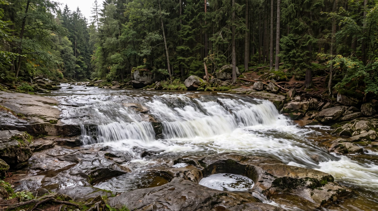
- Labsky vodopad below - the waterfall a short way downstream.
When to go
June to September. Half a day.
What to expect
It is several hours on foot from any road, on an exposed ridge where weather turns fast. The spring itself is a formality - the interest is the ridge and the wall. Strict reserve rules: stay on the path.
Nearby
Spindleruv Mlyn is below; Snezka is east along the ridge.
Key facts
Source: Wikidata, item Q12046831, read on 18 October 2026.
What to pack for Elbe Spring
Chosen from what this place is for. Tap a kit for the full checklist.
- Broken-in walking shoes or boots - Grip and ankle support matter more than looks; never hike in brand-new boots. Find on Amazon
- Warm base layers - Merino or synthetic against the skin - never cotton, which chills when damp. Find on Amazon
- Layers + a waterproof shell - Mountain weather turns fast; a packable rain jacket saves the day. Find on Amazon
- An insulated + windproof jacket - A down or synthetic layer under a hard shell handles most cold. Find on Amazon
Some links on this page are Amazon affiliate links - if you buy through them we may earn a small commission at no extra cost to you.
All packing kitsPlan your trip
Where to start if Elbe Spring is going on the list.
Booking links on this page are affiliate links - if you book through them we may earn a small commission at no extra cost to you. It never changes what we write about a place.
Opening times, ticket prices and seasonal closures change - check the official source before you go: official site.