Fort Nassau
An 1797 hilltop fort above Willemstad, now a restaurant with a view over the harbour.
Updated 19 October 2026
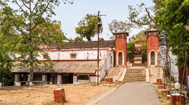
Fort Nassau was built in 1797 on the hill behind Willemstad to cover the harbour entrance from above, and it now holds a restaurant and terrace with what is generally regarded as the best view on the island: the whole of the inner harbour, the Queen Emma pontoon bridge, the painted facades of Punda and Otrobanda, and the oil refinery beyond. The historic core it looks down on is inscribed by UNESCO, though the fort itself sits above that boundary.
History
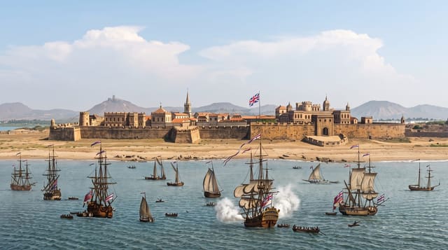
In 1796 Johann Lauffer, head of the military committee and later governor, ordered a fort on the 68-metre hill of Seru Sablica above Willemstad, on land of the Knip plantation, to guard the island against the British navy. Named Fort Republiek after the Batavian Republic, it cost 60,000 guilders, the islanders were reluctant to supply enslaved labour for it, and it was finished late in 1797: a rectangular battery inside a ring wall. In August 1800 French troops from Guadeloupe tried and failed to take it, leaving on 22 September when an American warship arrived; in 1804 its guns drove off a British squadron under Charles Brisbane, but Brisbane came back at dawn on 1 January 1807, while the garrison slept off New Year's Eve, and took the island. The fort became Fort George, and when the British left on 28 January 1816 it was renamed Fort Oranje Nassau. It lost its military role in 1825, later served as a control tower for the Queen Emma Bridge, and has housed a restaurant since 1959 (Wikipedia, Fort Nassau (Curaçao)).
What's there
- The harbour view - the inner harbour and pontoon bridge laid out below.
- The painted facades - Punda and Otrobanda seen from above.
- The 1797 fort - the walls and platform built to cover the harbour entrance.
- The terrace - the viewing deck and restaurant occupying the site.
When to go
Year round; late afternoon and sunset are the point. The restaurant keeps evening hours. The terrace view works at any time of day.
Good to know
The site functions mainly as a restaurant and the historic fabric is limited. The view includes the refinery, which is not what everyone wants in the photograph. Parking on the hill is tight.
Nearby
Willemstad's historic centre is below, and Rif Mangrove Park is west.
Key facts
Source: Wikidata, item Q2386730, read on 18 October 2026.
What to pack for Fort Nassau
Chosen from what this place is for. Tap a kit for the full checklist.
- Comfortable walking shoes - Sightseeing means kilometres of pavement and cobbles daily. Find on Amazon
- A slim anti-theft daypack - Zips that close properly; keep it in front in crowds and on transit. Find on Amazon
- A refillable water bottle - Many cities have public fountains; save money and plastic. Find on Amazon
- A light layer + compact umbrella - For museum air-con and a sudden shower. Find on Amazon
Some links on this page are Amazon affiliate links - if you buy through them we may earn a small commission at no extra cost to you.
All packing kitsPlan your trip
Where to start if Fort Nassau is going on the list.
Booking links on this page are affiliate links - if you book through them we may earn a small commission at no extra cost to you. It never changes what we write about a place.
Opening times, ticket prices and seasonal closures change - check the official source before you go: official site.