Yuntai Mountain
A red quartzite gorge park in Henan holding a waterfall of over three hundred metres, claimed as China's tallest.
Updated 21 October 2026

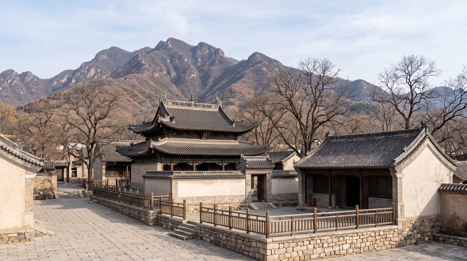
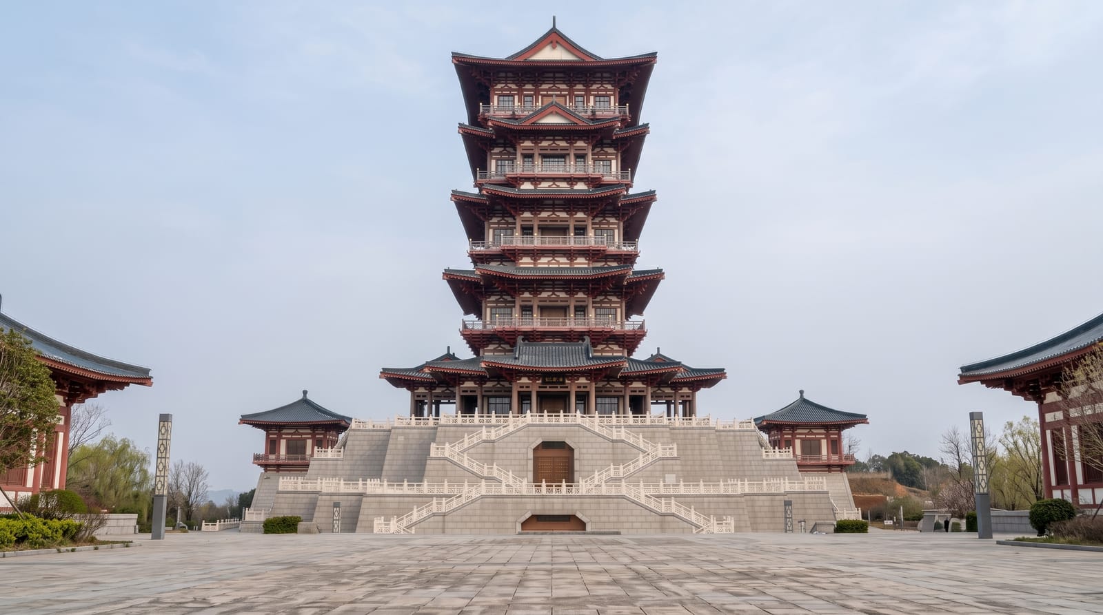
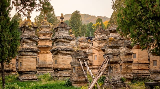
AI illustration
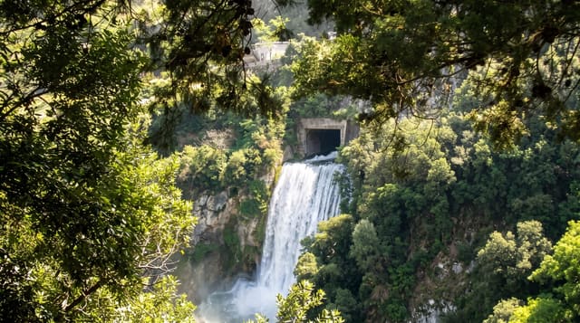
Yuntaishan is a UNESCO geopark on the southern edge of the Taihang range where streams have cut narrow gorges into red quartzite sandstone, and its main draw is Yuntai Waterfall, which drops 314 metres in a single fall and is claimed as the tallest in China; its flow is low in dry periods, and in June 2024 visitors found a large pipe built into the rock face above it. The Red Stone Gorge, a slot of red rock walked on a circuit of boardwalks beside pools and cascades, is the most photographed section. Other areas include Tanpu Gorge with its chain of pools and falls, and a monkey valley with macaques. The park is heavily engineered, with walkways, tunnels and a compulsory internal bus network.
The landscape
- Yuntai Waterfall - a 314-metre single drop, claimed as China's tallest.
- Red Stone Gorge - a red rock slot walked on boardwalks past pools.
- Tanpu Gorge - the chain of falls and pools on a longer circuit.
- The macaques - habituated monkeys in one of the valleys.
When to go
April to June and September to October; the waterfall is strongest after summer rain and weakest in spring and winter, when flow may be released only at certain times. Autumn colour in October is the busiest season.
Good to know
Waterfall flow is managed and sometimes released on schedule rather than natural, which surprises visitors. Compulsory shuttle buses add cost and time, and queues at peak periods are long. Holiday crowds fill the boardwalks.
Nearby
Guoliang and the Taihang cliff villages lie north; Zhengzhou is south.
Key facts
Source: Wikidata, item Q8061385, read on 18 October 2026.
What to pack for Yuntai Mountain
Chosen from what this place is for. Tap a kit for the full checklist.
- Broken-in walking shoes or boots - Grip and ankle support matter more than looks; never hike in brand-new boots. Find on Amazon
- Layers + a waterproof shell - Mountain weather turns fast; a packable rain jacket saves the day. Find on Amazon
- Daypack with rain cover - 20-30 litres holds water, snacks, layers and a first-aid kit. Find on Amazon
- Offline maps + a power bank - Download the trail before you lose signal; carry backup charge. Find on Amazon
Some links on this page are Amazon affiliate links - if you buy through them we may earn a small commission at no extra cost to you.
All packing kitsPlan your trip
Where to start if Yuntai Mountain is going on the list.
Booking links on this page are affiliate links - if you book through them we may earn a small commission at no extra cost to you. It never changes what we write about a place.
Opening times, ticket prices and seasonal closures change - check the official source before you go: official site.