Taibai Mountain
The highest peak of the Qinling range, holding alpine lakes and the dividing line between north and south China.
Updated 21 October 2026
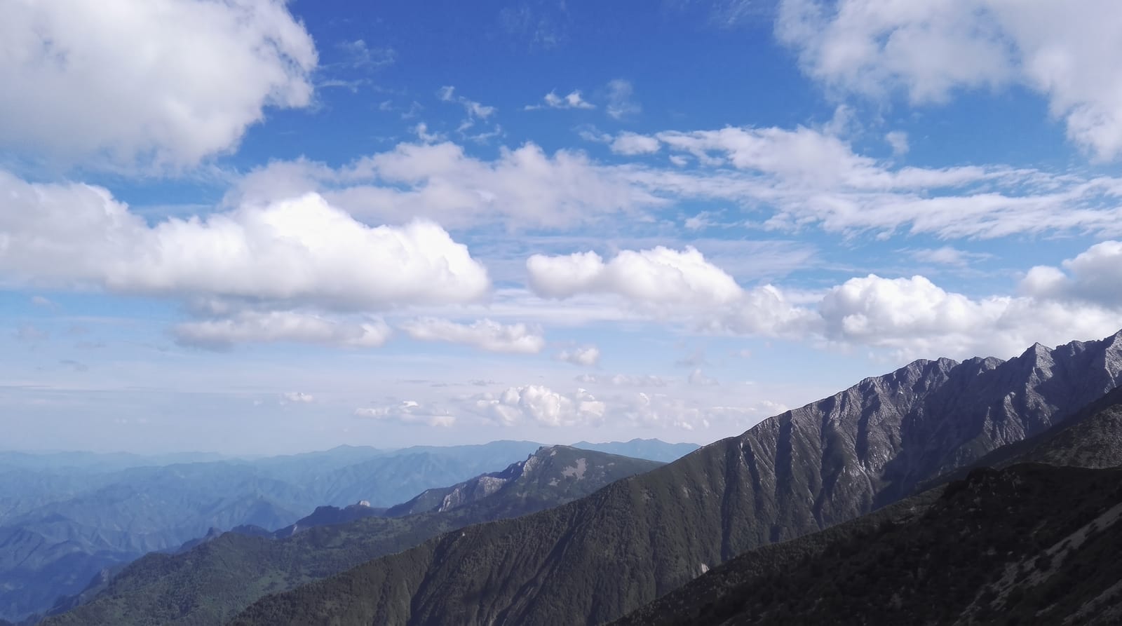
AI illustration
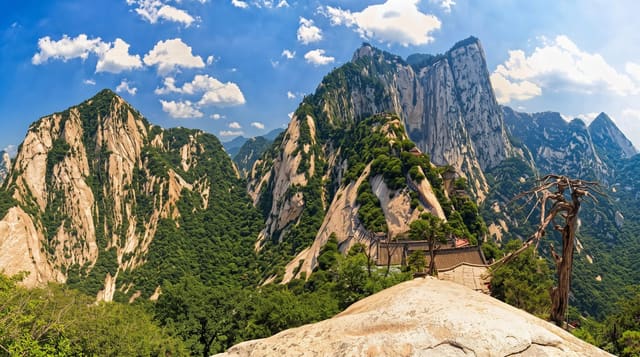
Taibai reaches 3,767 metres, the highest point of the Qinling, the range that separates the Yellow River basin from the Yangtze and functions as the climatic and biological divide between northern and southern China, with rainfall, vegetation and even household heating rules differing across it. The mountain rises through deciduous forest into conifer, birch and finally alpine scrub and bare rock, holding small glacial lakes near the summit, of which Daye Haizi is the best known. Snow lies on the top for much of the year, which is where the name, great white, comes from. Multi-day traverses cross the range.
History
In legend the mountain was first called the Mountain of Rich Goods, then Mount Taiyi under the Xia, after the brightest star of Chinese astrology and a supreme Daoist deity; by the time of Emperor Wu of Han a Daoist temple already stood on it. A Tang text says the essence of the Golden Star fell here and became white jade, so it was named Taibai, an old name for Venus, and the name, great white, also fits the snow that lies on the summit; Li Bai wrote of great Taibai with the stars arrayed across its slopes (Wikipedia, Mount Taibai).
The landscape
- The summit ridge - the highest ground in the Qinling at 3,767 metres.
- The glacial lakes - small alpine tarns below the top, notably Daye Haizi.
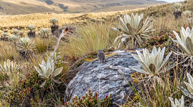
- The vegetation zones - forest changing to conifer, birch and alpine scrub.
- The north-south divide - the range separating two halves of China.
When to go
June to September for the summit; snow closes the upper mountain for much of the year and the traverse routes are serious in bad weather. Even in summer, nights near the top are near freezing.
Things to know
The full traverse is a multi-day mountain walk needing preparation, not a day trip. The developed side reaches only partway up by shuttle and cable car. Weather changes fast.
Nearby
Baoji lies north; Xi'an is northeast.
Key facts
Source: Wikidata, item Q6924020, read on 18 October 2026.
What to pack for Taibai Mountain
Chosen from what this place is for. Tap a kit for the full checklist.
- Broken-in walking shoes or boots - Grip and ankle support matter more than looks; never hike in brand-new boots. Find on Amazon
- Warm base layers - Merino or synthetic against the skin - never cotton, which chills when damp. Find on Amazon
- Layers for big temperature swings - Warm sun by day, near-freezing at night, even near the equator. Find on Amazon
- Modest clothing - Shoulders and knees covered - the single most common requirement. Find on Amazon
Some links on this page are Amazon affiliate links - if you buy through them we may earn a small commission at no extra cost to you.
All packing kitsPlan your trip
Where to start if Taibai Mountain is going on the list.
Booking links on this page are affiliate links - if you book through them we may earn a small commission at no extra cost to you. It never changes what we write about a place.
Opening times, ticket prices and seasonal closures change - check the official source before you go: official site.