Namtso Lake
A high salt lake north of Lhasa, more than 4,700 metres up, backed by the snow wall of the Nyenchen Tanglha range.
Updated 4 September 2026

AI illustration
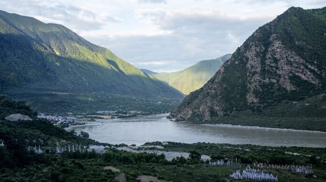
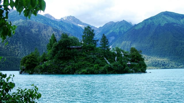
Namtso lies at over 4,700 metres, one of the highest large lakes in the world, and the drive from Lhasa crosses a pass above 5,000 metres before dropping to the shore. The water is a strong blue against pale grassland, with the Nyenchen Tanglha range standing along the southern side, snow-covered in every season. Most visitors stop at Tashi Dor, a headland of two rock outcrops on the eastern shore where a path runs around the base past prayer flags, caves and a small monastery. The air is thin enough that walking that short circuit feels far harder than it looks, and nights here are cold all year.
What you'll find
- Tashi Dor headland - the twin rock outcrops and the walking circuit around their base.
- The Nyenchen Tanglha range - the snow wall along the far shore, visible end to end on clear days.
- The Lakenla pass - the crossing above 5,000 metres on the road in, with a long view back over the plateau.
- Prayer flags on the shore - the strung lines and stone cairns at the pilgrimage points.
When to go
The road is normally open from roughly May to October and can be blocked by snow outside that window. Summer gives the greenest grassland and the mildest nights, though afternoon cloud is common. Clear mornings show the range at its best. Acclimatise in Lhasa for several days first, and expect very cold, very basic rooms if you stay overnight.
Things to know
Altitude is the main problem here: headaches are near universal and some people have to leave the same day. Accommodation at the lake is rudimentary, without heating and with shared facilities. The shoreline near the car park is busy with photo props and tethered animals. Weather can close the pass at short notice.
Nearby
Damxung on the road back, and the hot springs at Yangbajing.
Key facts
Source: Wikidata, item Q651294, read on 18 October 2026.
What to pack for Namtso Lake
Chosen from what this place is for. Tap a kit for the full checklist.
- Reef-safe sunscreen - High SPF that will not bleach the coral you are swimming over. Find on Amazon
- Head torch + spare batteries - Hands-free light is essential; caves are truly dark. Find on Amazon
- Warm base layers - Merino or synthetic against the skin - never cotton, which chills when damp. Find on Amazon
- Layers for big temperature swings - Warm sun by day, near-freezing at night, even near the equator. Find on Amazon
Some links on this page are Amazon affiliate links - if you buy through them we may earn a small commission at no extra cost to you.
All packing kitsPlan your trip
Where to start if Namtso Lake is going on the list.
Booking links on this page are affiliate links - if you book through them we may earn a small commission at no extra cost to you. It never changes what we write about a place.
Opening times, ticket prices and seasonal closures change - check the official source before you go: official site.