Hornopiren
A park of alerce and volcanoes at the ferry gap in the Carretera Austral, with almost no trails in it.
Updated 30 August 2026
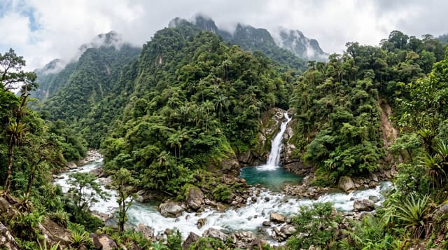
Hornopiren national park covers around forty-eight thousand hectares of steep forested country inland from the town, including alerce stands and the Hornopiren and Yates volcanoes, and it is one of the least developed parks in the region - the trail network is minimal and much of the interior has no access at all. The town itself is a bottleneck on the Carretera Austral: the road stops here and continues only by two ferries through the fjords to Caleta Gonzalo, a crossing that must be booked well ahead in summer and that shapes everyone's travel plans on the route south.
What you'll find
- Forty-eight thousand hectares - steep forest, alerce and two volcanoes.
- Almost no trail network - most of the interior is inaccessible.
- A gap in the Carretera - the road continues only by ferry.
- A crossing that must be booked - and governs travel plans south.
When to go
December to March. A full day or more.
What to expect
Ferry places sell out weeks ahead in January and February and missing one costs a day. Rain is close to constant. Park facilities are minimal and trails are few. The town is small.
Nearby
Pumalin park is south past the ferries; Puerto Montt is north.
What to pack for Hornopiren
Chosen from what this place is for. Tap a kit for the full checklist.
- Broken-in walking shoes or boots - Grip and ankle support matter more than looks; never hike in brand-new boots. Find on Amazon
- Binoculars - The single best wildlife tool - even a compact pair transforms a sighting. Find on Amazon
- Layers + a waterproof shell - Mountain weather turns fast; a packable rain jacket saves the day. Find on Amazon
- A zoom camera or long lens - Animals rarely come close; reach beats megapixels. Find on Amazon
Some links on this page are Amazon affiliate links - if you buy through them we may earn a small commission at no extra cost to you.
All packing kitsPlan your trip
Where to start if Hornopiren is going on the list.
Booking links on this page are affiliate links - if you book through them we may earn a small commission at no extra cost to you. It never changes what we write about a place.
Opening times, ticket prices and seasonal closures change - check the official source before you go: official site.