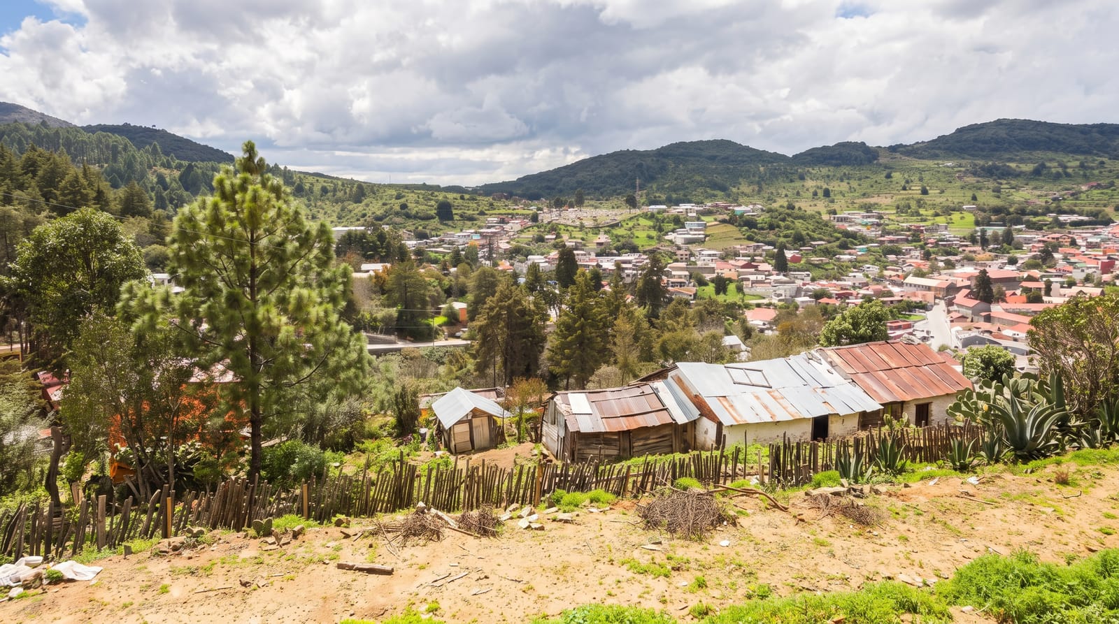
Sal Rei
The main town of Boa Vista, a low sandy place with a colonial square and a fort on an island offshore.
Updated 16 October 2026
Sal Rei is the main town of Boa Vista, built low around a square with a church and a few colonial buildings, with sand blowing through the streets from the dunes behind. Offshore lies Ilhéu de Sal Rei, a small island with the ruins of the Duque de Bragança fort, built in the nineteenth century against pirates who had raided the town repeatedly. Boats cross to it and the water between is used for kitesurfing.
Background
The name means King Salt in Portuguese and goes back to the days when salt production was the main industry of Boa Vista. The town lies on the northwestern coast of the island and is the seat of the Boa Vista Municipality. Its population rose from 1,522 in 1991 to 1,995 in 2000 and 5,778 in 2010. The port on the bay, where a new quay was built in 2015, has ferry links to Santiago, Sal and Maio. Most tourism is centred on Praia de Cabral. Average rainfall is 67 mm and the mean temperature is 24.1 °C, ranging from 21.7 °C in February, the coldest month, to 27.2 °C in September, the warmest.
Source: Wikipedia, "Sal Rei"
Highlights
- The main square - the church and colonial buildings at the town's centre.
- The Ilheu de Sal Rei - the offshore island with its ruined fort.
- The Duque de Braganca fort - the nineteenth-century defence against pirate raids.
- The kitesurfing water - the channel between town and island.
When to go
November to June is the dry season, with the strongest wind from December to March. Turtle season runs June to October. Harmattan dust can be heavy in winter.
Practical notes
The town is dusty and modest and most visitors stay in resorts outside it. The fort is a ruin with no facilities. Sand and wind are constant.
Nearby
Praia de Chaves is south, and Ervatao is southeast.
Key facts
Source: Wikidata, item Q501656, read on 18 October 2026.
What to pack for Sal Rei
Chosen from what this place is for. Tap a kit for the full checklist.
- Quick-dry clothing - Board shorts or synthetics that shrug off spray and dry fast. Find on Amazon
- Binoculars - The single best wildlife tool - even a compact pair transforms a sighting. Find on Amazon
- Loose, light, long clothing - Covering up beats bare skin in the desert - and locals dress this way for a reason. Find on Amazon
- Comfortable walking shoes - Sightseeing means kilometres of pavement and cobbles daily. Find on Amazon
Some links on this page are Amazon affiliate links - if you buy through them we may earn a small commission at no extra cost to you.
All packing kitsPlan your trip
Where to start if Sal Rei is going on the list.
Booking links on this page are affiliate links - if you book through them we may earn a small commission at no extra cost to you. It never changes what we write about a place.
Opening times, ticket prices and seasonal closures change - check the official source before you go: official site.