Toronto Islands
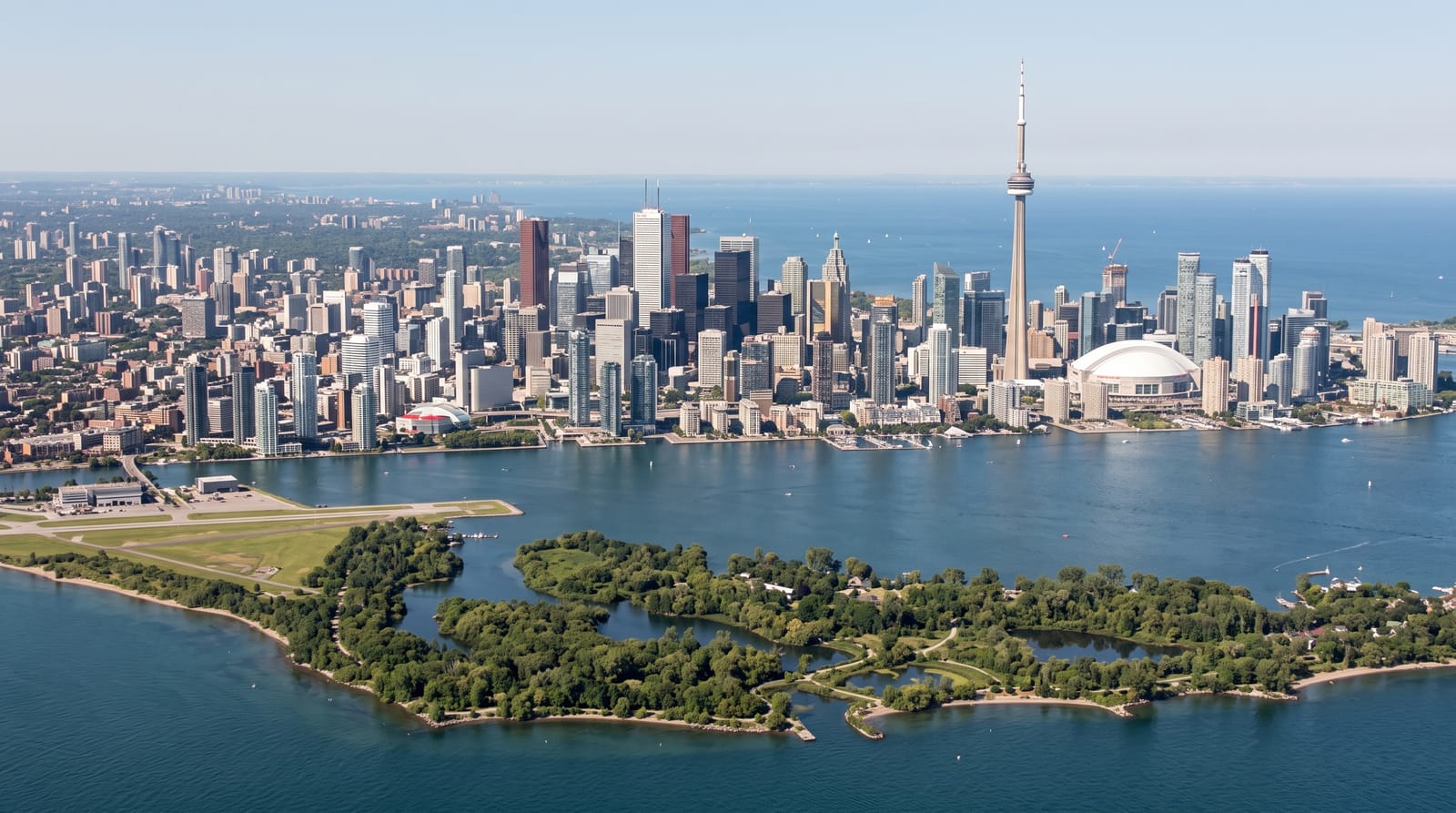
A car-free archipelago created when a storm cut a peninsula loose in 1858, with the skyline across the water.
Updated 19 October 2026
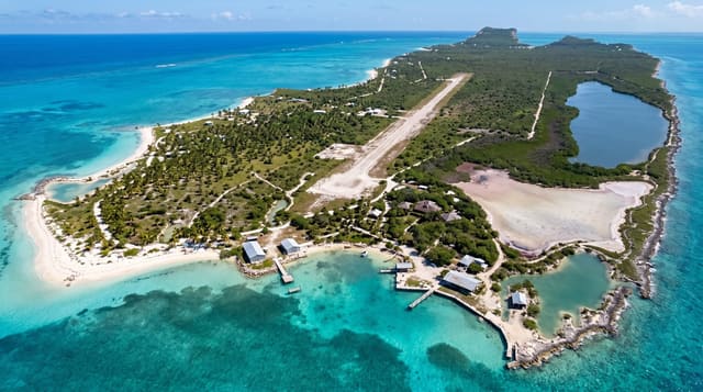
AI illustration
The islands were a peninsula until a storm in 1858 breached the sandbar and cut them loose. They are car-free, with about six hundred residents in a community on Ward's and Algonquin islands who fought eviction for decades before securing long-term leases in 1993. Centreville is a small children's amusement park with a 1907 carousel. Hanlan's Point holds Canada's only legally recognised clothing-optional beach, in use since 1894. Babe Ruth hit his first professional home run at the Hanlan's Point stadium in 1914. The best view of the Toronto skyline is from the islands looking back.
History
The islands began as sandbars built from sand washed west from the Scarborough Bluffs, and Indigenous peoples regarded the peninsula they formed as a place of healing and rest; to the Mississaugas of the Credit they are sacred land. Lieutenant Joseph Bouchette surveyed the peninsula in 1792, the British built a blockhouse at Gibraltar Point in 1794 and the Gibraltar Point Lighthouse in 1809, whose first keeper, John Paul Radelmüller, was allegedly murdered in 1815, and a storm cut the peninsula off from the mainland on 13 April 1858 (Wikipedia, Toronto Islands).
The main sights
- The skyline view - Toronto seen across the harbour from the island shore.
- The car-free community - about six hundred residents and no vehicles.
- Centreville - a children's park with a 1907 carousel.
- Hanlan's Point - Canada's only officially recognised clothing-optional beach.
When to go
May to September; ferries run year-round but winter service is reduced and most facilities close. Summer weekend ferry queues can run over an hour, so book online and go early.
Before you go
Summer ferry queues are the main frustration and can cost an hour or more each way. Flooding has closed parts of the islands in high-water years. Facilities are seasonal.
Nearby
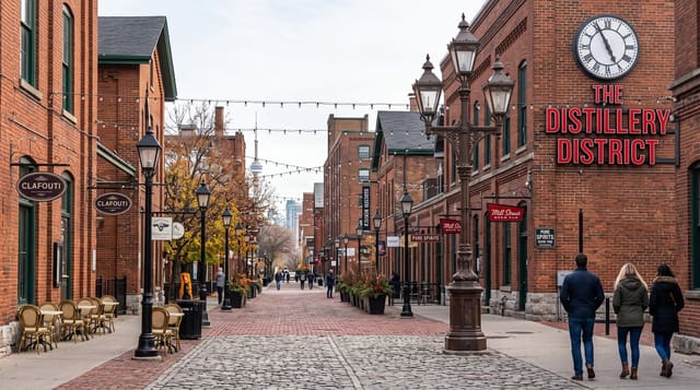
The Distillery District lies onshore; downtown Toronto is across the harbour.
Key facts
Source: Wikidata, item Q248110, read on 18 October 2026.
What to pack for Toronto Islands
Chosen from what this place is for. Tap a kit for the full checklist.
- Reef-safe sunscreen - High SPF that will not bleach the coral you are swimming over. Find on Amazon
- Modest clothing - Shoulders and knees covered - the single most common requirement. Find on Amazon
- Quick-dry towel - A microfibre towel packs small and dries in minutes. Find on Amazon
- A scarf or shawl - To cover the head or shoulders on entry; women especially at mosques. Find on Amazon
Some links on this page are Amazon affiliate links - if you buy through them we may earn a small commission at no extra cost to you.
All packing kitsPlan your trip
Where to start if Toronto Islands is going on the list.
Booking links on this page are affiliate links - if you book through them we may earn a small commission at no extra cost to you. It never changes what we write about a place.
Opening times, ticket prices and seasonal closures change - check the official source before you go: official site.