Sea to Sky Highway
A highway running from sea level along a fjord to a mountain resort, rebuilt for the 2010 Olympics.
Updated 19 October 2026
AI illustration
Highway 99 runs from West Vancouver up the eastern shore of Howe Sound, a fjord, and then inland and up to Whistler at about six hundred and seventy metres, covering roughly a hundred and twenty kilometres. It was a narrow and notoriously dangerous road until a rebuild before the 2010 Winter Olympics widened it, added barriers and cut the worst corners. The drive strings together most of the corridor's sights: Shannon Falls, the Stawamus Chief, the Sea to Sky Gondola at Squamish, Brandywine Falls and the Garibaldi trailheads. Interpretive pullouts along the route were developed with the Squamish and Lil'wat nations, whose territory it crosses.
History
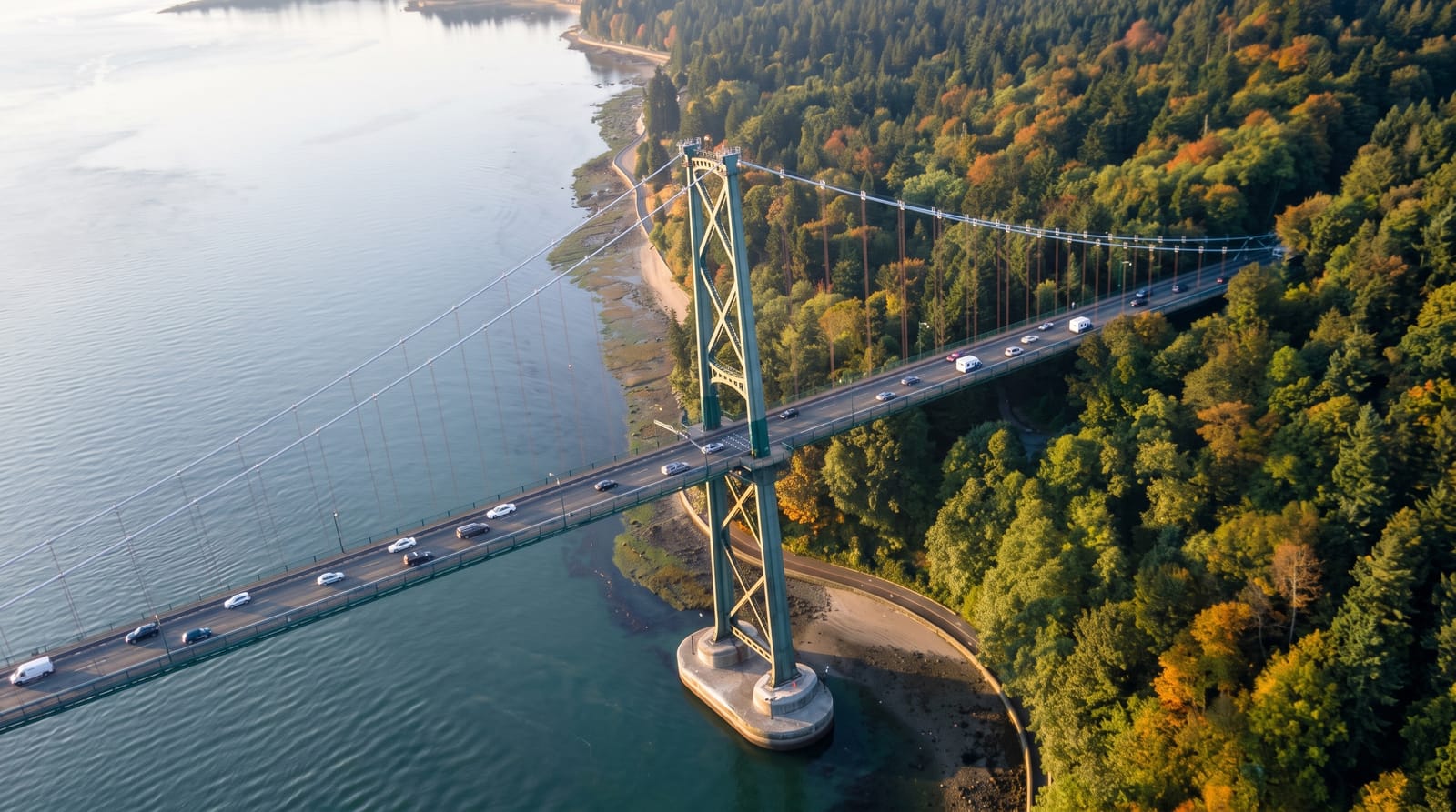
The highway's number, assigned in 1940, came from the old U.S. Route 99, and it first ran from the Peace Arch to Vancouver; in 1956 it was extended across the Lions Gate Bridge, opened in 1938, to West Vancouver and the new Upper Levels Highway, the first step north towards the Sea to Sky section that now serves Squamish, Whistler and Pemberton (Wikipedia, British Columbia Highway 99).
What's there
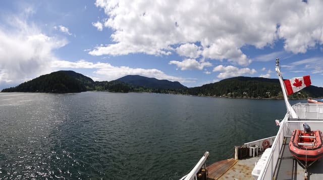
- The fjord section - Howe Sound with islands and mountains across the water.
- The strung sights - Shannon Falls, the Chief and Brandywine within an hour.
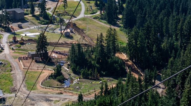
- The Sea to Sky Gondola - a cable car and suspension bridge above Squamish.
- The cultural pullouts - interpretive stops developed with local First Nations.
When to go
May to October for clear driving and open trails; winter brings snow, chains requirements and heavy ski traffic to Whistler. Weekend traffic northbound is heavy in both seasons.
Before you go
Weekend and holiday traffic can double the driving time. Pullouts at the popular falls fill by mid-morning in summer. Winter conditions require proper tyres by law.
Nearby
Squamish is halfway; Whistler is the northern end.
Key facts
Source: Wikidata, item Q919039, read on 18 October 2026.
What to pack for Sea to Sky Highway
Chosen from what this place is for. Tap a kit for the full checklist.
- Warm base layers - Merino or synthetic against the skin - never cotton, which chills when damp. Find on Amazon
- Comfortable walking shoes - Sightseeing means kilometres of pavement and cobbles daily. Find on Amazon
- An insulated + windproof jacket - A down or synthetic layer under a hard shell handles most cold. Find on Amazon
- A slim anti-theft daypack - Zips that close properly; keep it in front in crowds and on transit. Find on Amazon
Some links on this page are Amazon affiliate links - if you buy through them we may earn a small commission at no extra cost to you.
All packing kitsPlan your trip
Where to start if Sea to Sky Highway is going on the list.
Booking links on this page are affiliate links - if you book through them we may earn a small commission at no extra cost to you. It never changes what we write about a place.
Opening times, ticket prices and seasonal closures change - check the official source before you go: official site.