P'tit Train du Nord
A 232-kilometre rail trail on the line a priest built to stop Quebecers emigrating to New England.
Updated 4 September 2026
AI illustration
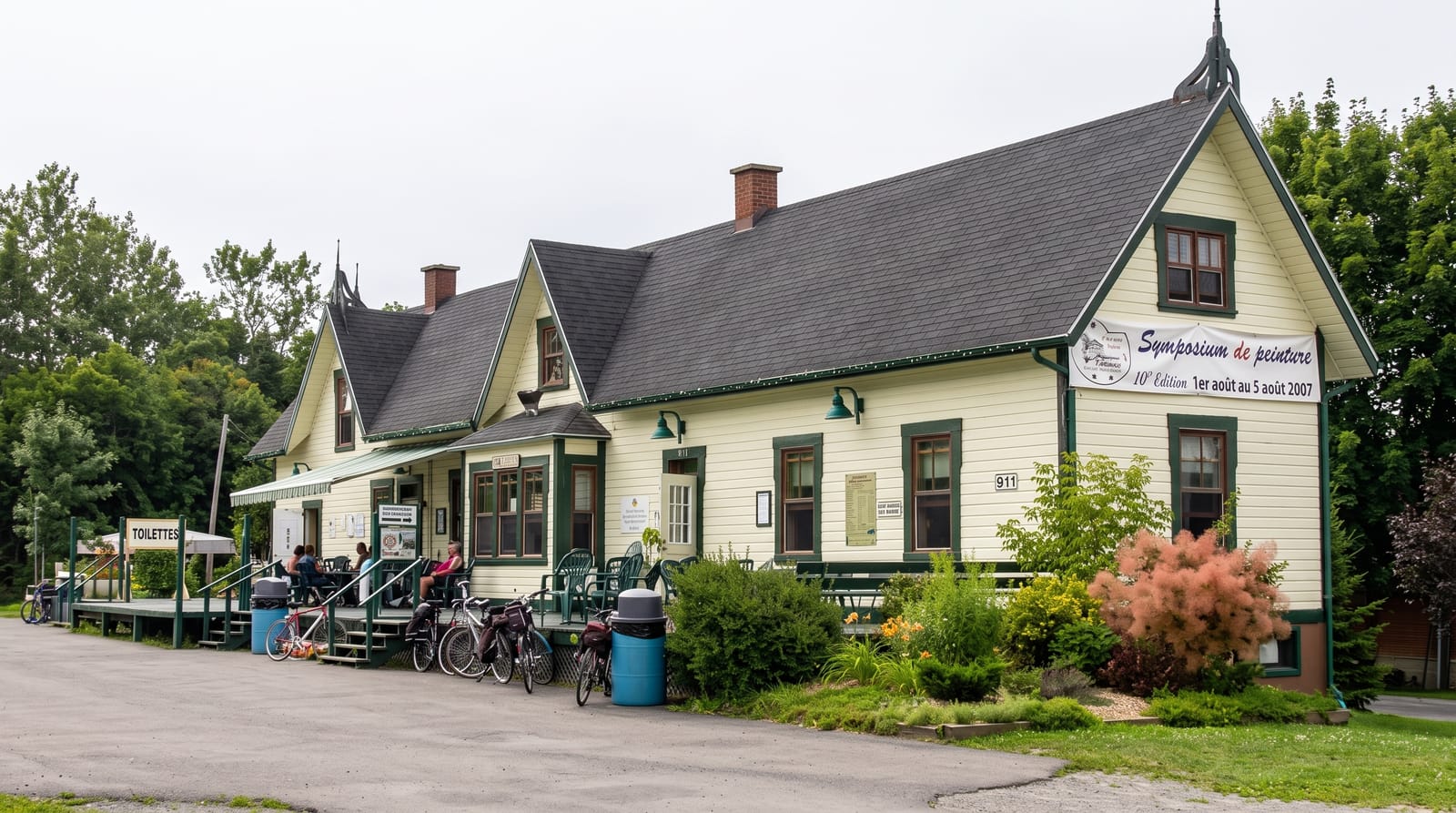
Antoine Labelle, curé of Saint-Jérôme, pushed for a railway into the Laurentians in the 1870s and 1880s as a way to open land for settlement and stop French Canadians leaving for the mills of New England; the line reached Mont-Laurier in 1909. It carried settlers, timber and, from the 1920s, the ski trains that made the Laurentians a winter destination. Passenger service ended in 1981 and the corridor became a rail trail of two hundred and thirty-two kilometres, mostly stone dust and flat, with old stations converted into cafes, information points and shelters along the way.
Highlights
- The converted stations - old depots as cafes and rest stops along the route.
- The flat grade - a railway alignment with almost no climbing.
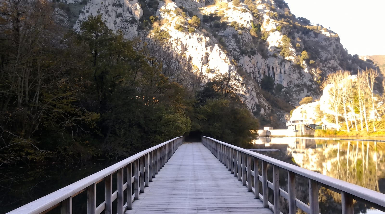
- The Laurentian landscape - lakes, rivers and forest through the corridor.
- The settlement history - Curé Labelle's line and its colonisation purpose.
When to go
June to October for cycling; the northern sections become groomed cross-country ski and snowmobile trails in winter, with the use varying by segment. Autumn colour is the best season.
Good to know
A trail pass is charged on maintained sections. Some segments are shared with snowmobiles in winter, which rules out skiing there. Services along the route are seasonal.
Nearby
Mont-Tremblant lies on the route; Montreal is south.
What to pack for P'tit Train du Nord
Chosen from what this place is for. Tap a kit for the full checklist.
- Broken-in walking shoes or boots - Grip and ankle support matter more than looks; never hike in brand-new boots. Find on Amazon
- Padded shorts - The one thing that makes a full day in the saddle bearable. Find on Amazon
- Comfortable walking shoes - Sightseeing means kilometres of pavement and cobbles daily. Find on Amazon
- Layers + a waterproof shell - Mountain weather turns fast; a packable rain jacket saves the day. Find on Amazon
Some links on this page are Amazon affiliate links - if you buy through them we may earn a small commission at no extra cost to you.
All packing kitsPlan your trip
Where to start if P'tit Train du Nord is going on the list.
Booking links on this page are affiliate links - if you book through them we may earn a small commission at no extra cost to you. It never changes what we write about a place.
Opening times, ticket prices and seasonal closures change - check the official source before you go: official site.