Mount Robson
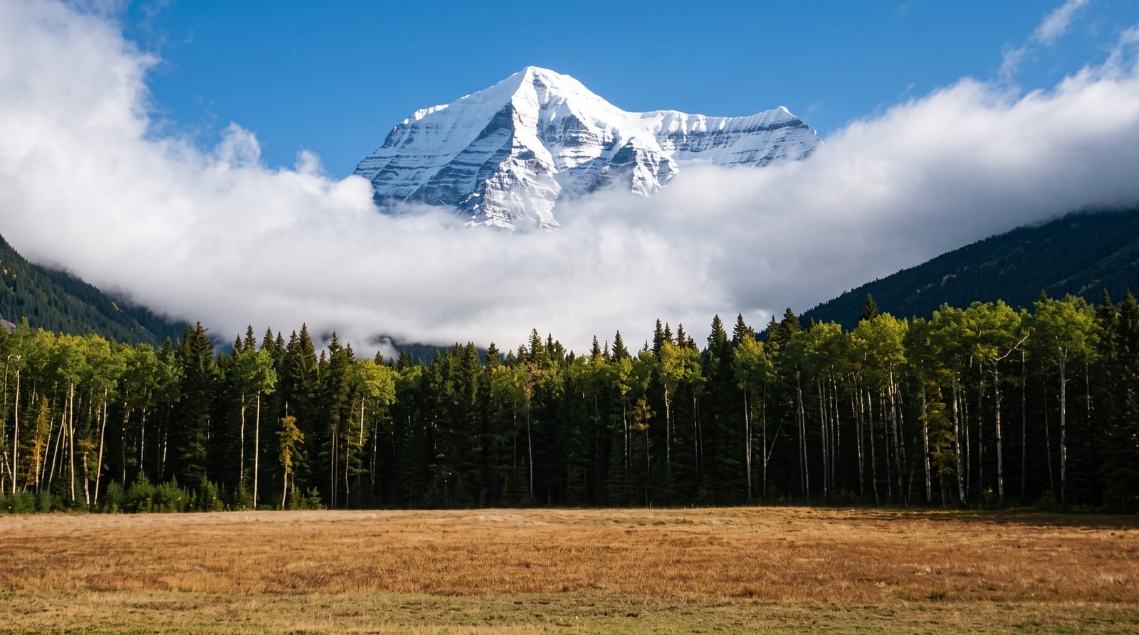
The highest peak in the Canadian Rockies at 3,954 metres, so often in cloud that seeing it is an event.
Updated 19 October 2026
AI illustration
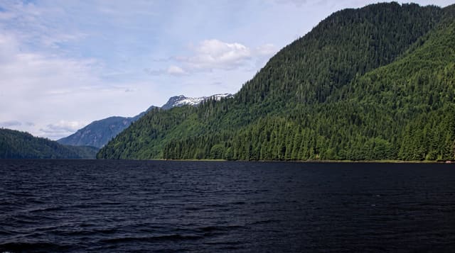
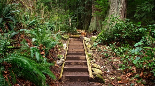
Mount Robson reaches three thousand nine hundred and fifty-four metres, the highest point in the Canadian Rockies, and it rises about three thousand metres straight from the valley floor in one face, which is an unusual amount of relief and part of why it generates its own weather. The summit is hidden by cloud most days, and locals treat a clear view as worth stopping for. The Berg Lake Trail, twenty-three kilometres to a lake where ice calves off the Berg Glacier into the water, is one of the best-known backpacking routes in Canada; it was severely damaged by flooding in 2021 and has reopened in stages.
History
The Texqa'kallt, a Secwepemc people, call the mountain Yexyexéscen, striped rock, and its English name probably honours Colin Robertson of the fur trade companies. James McEvoy surveyed it in 1893 and found it the highest peak in the Canadian Rockies; George Kinney claimed the summit with the outfitter Donald "Curly" Phillips in August 1909 on his twelfth attempt, though he is now thought to have been turned back at the final ice dome, and the first documented ascent was made in 1913, led by the guide Conrad Kain, on an Alpine Club of Canada expedition that came by the newly completed Grand Trunk Pacific railway (Wikipedia, Mount Robson).
What's there
- The three-thousand-metre face - the mountain rising in one sweep from the valley.
- Berg Lake - a lake with ice calving directly off a glacier into it.
- The visitor centre view - the standard viewpoint from the highway.
- The Valley of a Thousand Falls - waterfalls on the trail up to the lake.
When to go
July to September; the Berg Lake Trail is snow-free only in summer and permits are required and competitive. Mornings offer the best chance of a clear summit before cloud builds.
Before you go
The summit is hidden by cloud on most days, so many visitors never see it. The Berg Lake Trail suffered major flood damage in 2021 and sections have had multi-year closures; check status before planning.
Nearby
Jasper lies east in Alberta; Valemount is south.
Key facts
Source: Wikidata, item Q1161258, read on 18 October 2026.
What to pack for Mount Robson
Chosen from what this place is for. Tap a kit for the full checklist.
- Broken-in walking shoes or boots - Grip and ankle support matter more than looks; never hike in brand-new boots. Find on Amazon
- Warm base layers - Merino or synthetic against the skin - never cotton, which chills when damp. Find on Amazon
- Layers for big temperature swings - Warm sun by day, near-freezing at night, even near the equator. Find on Amazon
- Shelter suited to the place - Tent, tarp or hut booking - match it to the terrain and rules. Find on Amazon
Some links on this page are Amazon affiliate links - if you buy through them we may earn a small commission at no extra cost to you.
All packing kitsPlan your trip
Where to start if Mount Robson is going on the list.
Booking links on this page are affiliate links - if you book through them we may earn a small commission at no extra cost to you. It never changes what we write about a place.
Opening times, ticket prices and seasonal closures change - check the official source before you go: official site.