Hautes-Gorges-de-la-Rivière-Malbaie
Walls rising eight hundred metres above a flat river, among the highest cliffs east of the Rockies.
Updated 19 October 2026
AI illustration
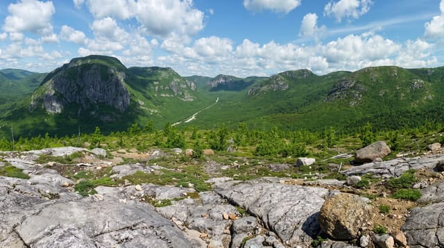
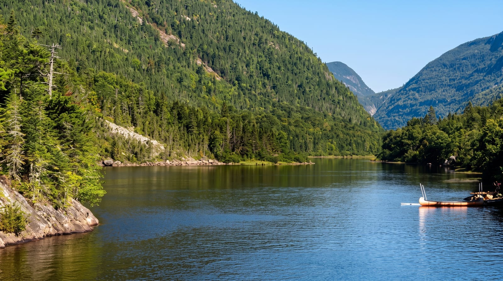
The Malbaie river runs through a valley whose walls rise about eight hundred metres, among the highest east of the Rocky Mountains, and the contrast is the point: the water at the bottom is calm and paddled in open canoes and on a small cruise boat while the rock goes almost straight up on both sides. L'Acropole des Draveurs, the main hiking route, climbs about eight hundred metres in five kilometres to a ridge with three summits, and it is genuinely hard. Vegetation zones change with altitude from maple forest to taiga near the top.
History
Explorers of the Malbaie River first reached the area in the first half of the 19th century, and early in the 20th logging began, with timber floated down the river, while tourists such as William Hume Blake came back again and again to the gorge. The last logging took place in 1985, a regional park opened on 13 September 1988 and became part of the Charlevoix biosphere reserve, a flood on 19 July 1996 closed it for the rest of the season, and in 2000 the government of Quebec made it a national park (Wikipedia, Hautes-Gorges-de-la-Rivière-Malbaie National Park).
What's there
- The eight-hundred-metre walls - among the highest cliffs in eastern Canada.
- The flat river - calm water paddled directly beneath the cliffs.
- L'Acropole des Draveurs - a steep climb to a three-summit ridge.
- The vegetation zones - maple forest giving way to taiga with height.
When to go
June to October; the park closes the road in winter. Autumn colour on the walls in late September is the peak. The Acropole trail has a daily capacity limit.
Things to know
The access road is long gravel. The Acropole climb is brutally steep and takes most of a day. Trail capacity is limited and reservations may be needed in peak season.
Nearby
La Malbaie lies south; Grands-Jardins is west.
Key facts
Source: Wikidata, item Q1145575, read on 18 October 2026.
What to pack for Hautes-Gorges-de-la-Rivière-Malbaie
Chosen from what this place is for. Tap a kit for the full checklist.
- Broken-in walking shoes or boots - Grip and ankle support matter more than looks; never hike in brand-new boots. Find on Amazon
- Quick-dry clothing - Board shorts or synthetics that shrug off spray and dry fast. Find on Amazon
- Binoculars - The single best wildlife tool - even a compact pair transforms a sighting. Find on Amazon
- Layers + a waterproof shell - Mountain weather turns fast; a packable rain jacket saves the day. Find on Amazon
Some links on this page are Amazon affiliate links - if you buy through them we may earn a small commission at no extra cost to you.
All packing kitsPlan your trip
Where to start if Hautes-Gorges-de-la-Rivière-Malbaie is going on the list.
Booking links on this page are affiliate links - if you book through them we may earn a small commission at no extra cost to you. It never changes what we write about a place.
Opening times, ticket prices and seasonal closures change - check the official source before you go: official site.