Goderich
A town laid out around an octagonal square in 1827, above the largest underground salt mine in the world.
Updated 19 October 2026
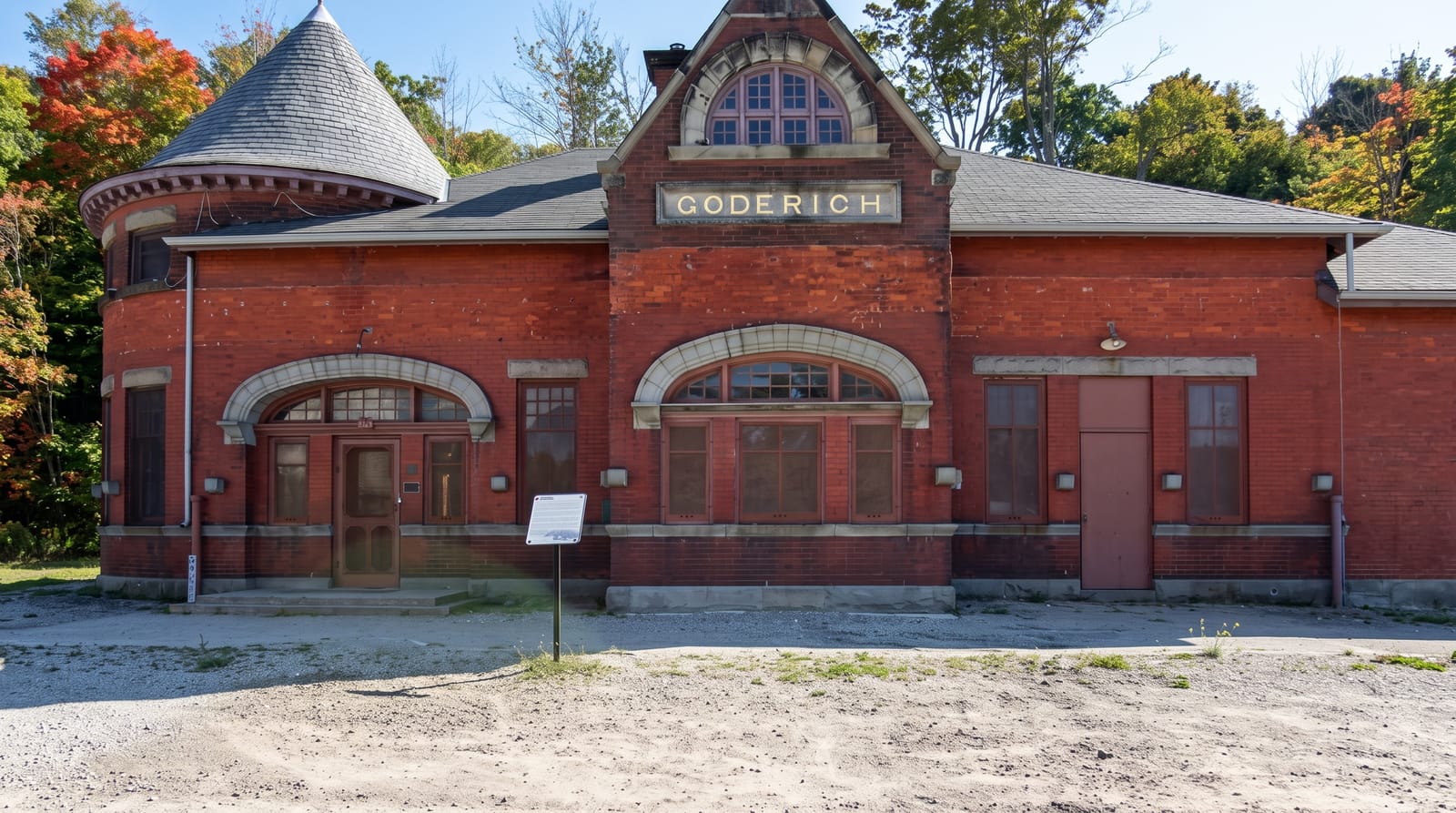
AI illustration
John Galt of the Canada Company laid Goderich out in 1827 around an octagonal central square with eight streets radiating from it, a plan unusual in North America and still intact; the courthouse stands in the middle. Beneath the town and running out under Lake Huron is the largest underground salt mine in the world, working a bed found in 1866 while drilling for oil, with tunnels extending kilometres offshore. The town calls itself the prettiest in Canada, a phrase often attributed to Queen Elizabeth II, although no reigning monarch has ever visited Goderich. A tornado struck the square directly in August 2011, killing one person and destroying much of the tree canopy, which has been replanted.
History
The Canada Company acquired the vast Huron Tract in 1826, and in 1827 its superintendent John Galt established the company's base here, while Dr. William "Tiger" Dunlop, its Warden of the Forests, built a log cabin at the top of the hill over the harbour, later called The Castle; the town was named after Viscount Goderich, then prime minister of the United Kingdom. It was incorporated in 1850 with about 1,000 people, the railway arrived in June 1858, and in 1866 Samuel Platt began opening salt mines beside his flour mill on the Maitland River, the start of what became a major industry (Wikipedia, Goderich, Ontario).
What you'll find
- The octagonal square - an eight-sided centre with radiating streets from 1827.
- The salt mine - the world's largest, running out under Lake Huron.
- The Lake Huron sunsets - west-facing beaches and a long boardwalk.
- The replanted canopy - trees put back after the 2011 tornado.
When to go
May to September for the beaches and boardwalk; sunsets over Lake Huron are the town's calling card in any season. The mine is a working operation and not open to the public.
Things to know
The salt mine cannot be visited; it is an active industrial site. The 2011 tornado damage is still visible in the young trees. The town is quiet outside summer.
Nearby
Pinery Provincial Park lies south; Sauble Beach is north.
Key facts
Source: Wikidata, item Q33974, read on 18 October 2026.
What to pack for Goderich
Chosen from what this place is for. Tap a kit for the full checklist.
- Reef-safe sunscreen - High SPF that will not bleach the coral you are swimming over. Find on Amazon
- Head torch + spare batteries - Hands-free light is essential; caves are truly dark. Find on Amazon
- Comfortable walking shoes - Sightseeing means kilometres of pavement and cobbles daily. Find on Amazon
- Quick-dry towel - A microfibre towel packs small and dries in minutes. Find on Amazon
Some links on this page are Amazon affiliate links - if you buy through them we may earn a small commission at no extra cost to you.
All packing kitsPlan your trip
Where to start if Goderich is going on the list.
Booking links on this page are affiliate links - if you book through them we may earn a small commission at no extra cost to you. It never changes what we write about a place.
Opening times, ticket prices and seasonal closures change - check the official source before you go: official site.